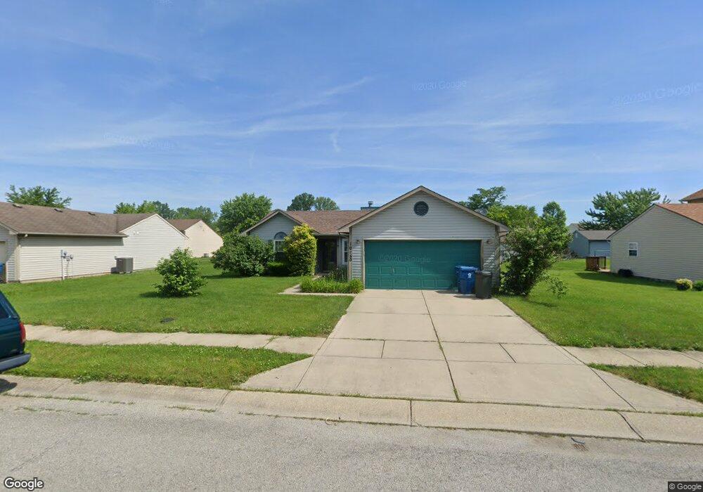
10150 Lone Wolf Dr Indianapolis, IN 46235
Far Eastside NeighborhoodEstimated Value: $180,000 - $234,000
3
Beds
2
Baths
1,128
Sq Ft
$175/Sq Ft
Est. Value
About This Home
This home is located at 10150 Lone Wolf Dr, Indianapolis, IN 46235 and is currently estimated at $197,306, approximately $174 per square foot. 10150 Lone Wolf Dr is a home located in Marion County with nearby schools including Winding Ridge Elementary School, Fall Creek Valley Middle School, and Lawrence North High School.
Ownership History
Date
Name
Owned For
Owner Type
Purchase Details
Closed on
Oct 12, 2023
Sold by
Folson Phil A and Folson Jerlene
Bought by
Folson Phil A
Current Estimated Value
Home Financials for this Owner
Home Financials are based on the most recent Mortgage that was taken out on this home.
Original Mortgage
$179,803
Outstanding Balance
$176,267
Interest Rate
7.12%
Mortgage Type
VA
Estimated Equity
$21,039
Purchase Details
Closed on
Jun 16, 2010
Sold by
Smith Deetra L
Bought by
Folson Phil A and Folson Jerlene
Home Financials for this Owner
Home Financials are based on the most recent Mortgage that was taken out on this home.
Original Mortgage
$88,804
Interest Rate
5.25%
Mortgage Type
FHA
Create a Home Valuation Report for This Property
The Home Valuation Report is an in-depth analysis detailing your home's value as well as a comparison with similar homes in the area
Home Values in the Area
Average Home Value in this Area
Purchase History
| Date | Buyer | Sale Price | Title Company |
|---|---|---|---|
| Folson Phil A | -- | Stewart Title Guaranty Company | |
| Folson Phil A | -- | None Available |
Source: Public Records
Mortgage History
| Date | Status | Borrower | Loan Amount |
|---|---|---|---|
| Open | Folson Phil A | $179,803 | |
| Previous Owner | Folson Phil A | $88,804 |
Source: Public Records
Tax History Compared to Growth
Tax History
| Year | Tax Paid | Tax Assessment Tax Assessment Total Assessment is a certain percentage of the fair market value that is determined by local assessors to be the total taxable value of land and additions on the property. | Land | Improvement |
|---|---|---|---|---|
| 2024 | $1,415 | $140,400 | $22,900 | $117,500 |
| 2023 | $1,415 | $140,400 | $22,900 | $117,500 |
| 2022 | $1,393 | $130,200 | $22,900 | $107,300 |
| 2021 | $943 | $100,000 | $22,900 | $77,100 |
| 2020 | $752 | $88,200 | $17,300 | $70,900 |
| 2019 | $688 | $88,200 | $17,300 | $70,900 |
| 2018 | $692 | $88,200 | $17,300 | $70,900 |
| 2017 | $700 | $88,400 | $17,300 | $71,100 |
| 2016 | $685 | $87,700 | $17,300 | $70,400 |
| 2014 | $566 | $87,200 | $17,300 | $69,900 |
| 2013 | $568 | $87,200 | $17,300 | $69,900 |
Source: Public Records
Map
Nearby Homes
- 4448 Aristocrat Cir
- 4702 Little Pearl Ln
- 4758 Little Pearl Ln
- 4419 Pepperidge Ct
- 4411 Ringstead Way
- 4897 N Mitthoefer Rd
- 10518 Quartz Ln
- 10431 Bellchime Ct
- Palmetto Plan at Silver Stream
- Walnut Plan at Silver Stream
- Norway Plan at Silver Stream
- 4631 Jasper Ridge Blvd
- Aspen II Plan at Silver Stream
- Ashton Plan at Silver Stream
- Chestnut Plan at Silver Stream
- Empress Plan at Silver Stream
- Cooper Plan at Silver Stream
- Ironwood Plan at Silver Stream
- Bradford Plan at Silver Stream
- Spruce Plan at Silver Stream
- 10158 Lone Wolf Dr
- 10140 Lone Wolf Dr
- 10145 Arapahoe Dr
- 10153 Arapahoe Dr
- 10137 Arapahoe Dr
- 10132 Lone Wolf Dr
- 10210 Lone Wolf Dr
- 10207 Arapahoe Dr
- 10149 Lone Wolf Dr
- 10155 Lone Wolf Dr
- 10205 Lone Wolf Dr
- 10135 Lone Wolf Dr
- 10129 Arapahoe Dr
- 10215 Arapahoe Dr
- 10218 Lone Wolf Dr
- 10124 Lone Wolf Dr
- 10211 Lone Wolf Dr
- 10148 Arapahoe Dr
- 10127 Lone Wolf Dr
- 10154 Arapahoe Dr