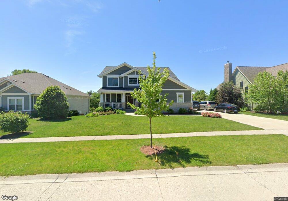
102 Meadows Ct Oswego, IL 60543
North Oswego NeighborhoodEstimated Value: $548,832 - $626,000
4
Beds
3
Baths
2,668
Sq Ft
$219/Sq Ft
Est. Value
About This Home
This home is located at 102 Meadows Ct, Oswego, IL 60543 and is currently estimated at $584,458, approximately $219 per square foot. 102 Meadows Ct is a home located in Kendall County with nearby schools including Churchill Elementary School, Plank Junior High School, and Oswego East High School.
Ownership History
Date
Name
Owned For
Owner Type
Purchase Details
Closed on
Jun 4, 2019
Sold by
Hohimer Keith and Hohimer Patricia
Bought by
Hohimer Keith D and Hohimer Patricia A
Current Estimated Value
Purchase Details
Closed on
Jun 28, 2013
Sold by
Bsp2 Llc
Bought by
Hohimer Kenth and Hohimer Patricia
Purchase Details
Closed on
Oct 3, 2012
Sold by
Tcf National Bank
Bought by
Bsp2 Llc
Create a Home Valuation Report for This Property
The Home Valuation Report is an in-depth analysis detailing your home's value as well as a comparison with similar homes in the area
Home Values in the Area
Average Home Value in this Area
Purchase History
| Date | Buyer | Sale Price | Title Company |
|---|---|---|---|
| Hohimer Keith D | -- | Attorney | |
| Hohimer Kenth | $33,000 | Chicago Title Insurance Co | |
| Bsp2 Llc | $70,000 | Chicago Title Insurance Co |
Source: Public Records
Tax History Compared to Growth
Tax History
| Year | Tax Paid | Tax Assessment Tax Assessment Total Assessment is a certain percentage of the fair market value that is determined by local assessors to be the total taxable value of land and additions on the property. | Land | Improvement |
|---|---|---|---|---|
| 2024 | $12,223 | $162,888 | $26,453 | $136,435 |
| 2023 | $10,840 | $144,149 | $23,410 | $120,739 |
| 2022 | $10,840 | $131,045 | $21,282 | $109,763 |
| 2021 | $11,111 | $129,747 | $21,071 | $108,676 |
| 2020 | $10,980 | $127,203 | $20,658 | $106,545 |
| 2019 | $10,639 | $121,833 | $20,658 | $101,175 |
| 2018 | $10,816 | $117,839 | $18,977 | $98,862 |
| 2017 | $10,953 | $117,839 | $18,977 | $98,862 |
| 2016 | $6,070 | $60,369 | $8,934 | $51,435 |
| 2015 | -- | $15 | $15 | $0 |
| 2014 | -- | $16 | $16 | $0 |
| 2013 | -- | $16 | $16 | $0 |
Source: Public Records
Map
Nearby Homes
- 500 Half Moon Ct
- 1741 Fredericksburg Ln
- 479 Raintree Dr
- 1819 Indian Hill Ln Unit 4104
- 94 Waterbury Cir
- 60 Wingate Dr Unit 4
- 2216 Summerlin Dr Unit 5
- 700 N Sparkle Ct
- 334 Ogden Falls Blvd
- 2297 Roaring Creek Dr
- 2155 Grand Pointe Trail
- 154 Chapin Way
- 22 Alex Ct Unit 1
- 2060 Lyndhurst Ln
- 2197 Wilson Creek Cir Unit 3
- 2566 Rourke Dr
- 3302 Wildlight Rd
- 3237 Peyton Cir
- 1769 Baler Ave
- 3328 Fulshear Cir