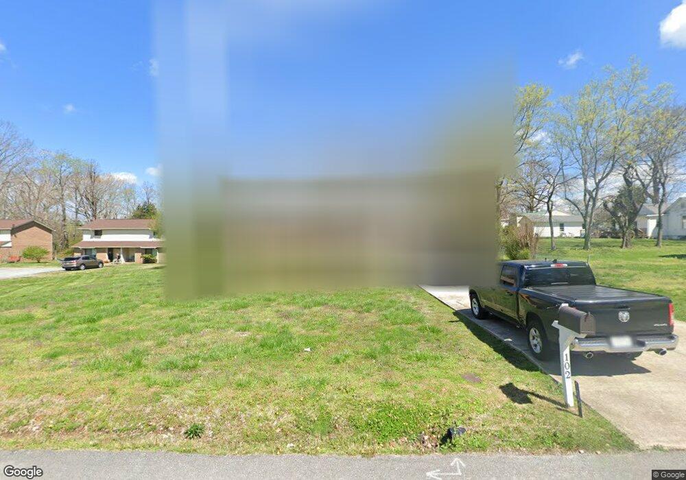
102 Nesbitt St Dickson, TN 37055
Estimated Value: $291,311 - $390,000
--
Bed
1
Bath
1,934
Sq Ft
$177/Sq Ft
Est. Value
About This Home
This home is located at 102 Nesbitt St, Dickson, TN 37055 and is currently estimated at $341,578, approximately $176 per square foot. 102 Nesbitt St is a home located in Dickson County with nearby schools including Centennial Elementary School, Dickson Middle School, and Dickson County High School.
Ownership History
Date
Name
Owned For
Owner Type
Purchase Details
Closed on
Sep 15, 2014
Sold by
Hernandez Mary Beth
Bought by
Mccartney Sarah
Current Estimated Value
Home Financials for this Owner
Home Financials are based on the most recent Mortgage that was taken out on this home.
Original Mortgage
$108,109
Outstanding Balance
$84,359
Interest Rate
4.75%
Mortgage Type
FHA
Estimated Equity
$257,219
Purchase Details
Closed on
May 22, 2001
Bought by
Hernandez Joe
Purchase Details
Closed on
Feb 29, 1988
Bought by
Moore Norman E and Moore Goldie E
Purchase Details
Closed on
May 26, 1983
Bought by
White Grady B and White Judy
Create a Home Valuation Report for This Property
The Home Valuation Report is an in-depth analysis detailing your home's value as well as a comparison with similar homes in the area
Home Values in the Area
Average Home Value in this Area
Purchase History
| Date | Buyer | Sale Price | Title Company |
|---|---|---|---|
| Mccartney Sarah | $125,000 | -- | |
| Hernandez Joe | $86,900 | -- | |
| Moore Norman E | $45,000 | -- | |
| White Grady B | -- | -- |
Source: Public Records
Mortgage History
| Date | Status | Borrower | Loan Amount |
|---|---|---|---|
| Open | Mccartney Sarah | $108,109 |
Source: Public Records
Tax History Compared to Growth
Tax History
| Year | Tax Paid | Tax Assessment Tax Assessment Total Assessment is a certain percentage of the fair market value that is determined by local assessors to be the total taxable value of land and additions on the property. | Land | Improvement |
|---|---|---|---|---|
| 2025 | -- | $63,750 | $0 | $0 |
| 2024 | $1,397 | $63,750 | $13,075 | $50,675 |
| 2023 | $1,397 | $44,725 | $7,775 | $36,950 |
| 2022 | $1,397 | $44,725 | $7,775 | $36,950 |
| 2021 | $1,397 | $44,725 | $7,775 | $36,950 |
| 2020 | $1,397 | $44,725 | $7,775 | $36,950 |
| 2019 | $1,397 | $44,725 | $7,775 | $36,950 |
| 2018 | $1,180 | $32,350 | $7,000 | $25,350 |
| 2017 | $1,180 | $32,350 | $7,000 | $25,350 |
| 2016 | $1,180 | $32,350 | $7,000 | $25,350 |
| 2015 | $1,094 | $28,200 | $7,000 | $21,200 |
| 2014 | $1,094 | $28,200 | $7,000 | $21,200 |
Source: Public Records
Map
Nearby Homes
- 110 Mccreary Heights
- 213 Mccreary Heights
- 414 W College St
- 303 W College St
- 0 Rocky Dr Unit RTC2761527
- 119 Oak Dr
- 0 Tucker Rd Unit RTC3051077
- 205 Oak Dr
- 701 W 5th St
- 121 Sylvis St
- 500 Church St
- 212 Sylvis St
- 805 W 2nd St
- 129 Ironhorse Way
- 308 E Railroad St
- 909 W 1st St
- 0 Hardin Ave
- 210 Hardin Ave
- 430 Center Ave
- 0 W Walnut St
- 106D Nesbitt St Unit 106C
- 201 Mccreary Heights
- 207 Mccreary Heights
- 211 Mccreary Heights
- 101 Nesbitt St
- 104 Nesbitt St Unit 104A
- 112 Mccreary Heights
- 407 Murrell St
- 103 Nesbitt St
- 409 Murrell St
- 405 Murrell St
- 411 Murrell St
- 200 Mccreary Heights
- 206 Mccreary Heights
- 215 Mccreary Heights
- 114 Nesbitt St
- 100 Reeves St
- 103 Reeves St
- 208 Mccreary Heights
- 113 Mccreary Heights
