10201 The Lane Missoula, MT 59808
Estimated Value: $903,000 - $1,602,000
3
Beds
3
Baths
3,528
Sq Ft
$327/Sq Ft
Est. Value
About This Home
This home is located at 10201 The Lane, Missoula, MT 59808 and is currently estimated at $1,152,073, approximately $326 per square foot. 10201 The Lane is a home located in Missoula County with nearby schools including Frenchtown Elementary School, Frenchtown Intermediate School, and Frenchtown Junior High School.
Ownership History
Date
Name
Owned For
Owner Type
Purchase Details
Closed on
Aug 6, 2009
Sold by
Sailer Brian and Sailer Mayyer
Bought by
Sailer Brian A and Sailer Mayyer
Current Estimated Value
Home Financials for this Owner
Home Financials are based on the most recent Mortgage that was taken out on this home.
Original Mortgage
$417,000
Outstanding Balance
$274,097
Interest Rate
5.37%
Mortgage Type
New Conventional
Estimated Equity
$877,976
Purchase Details
Closed on
May 3, 2006
Sold by
Sampson Donald E and Sampson Jean P
Bought by
Sailer Brian and Sailer Mayyer
Home Financials for this Owner
Home Financials are based on the most recent Mortgage that was taken out on this home.
Original Mortgage
$436,800
Interest Rate
6.29%
Mortgage Type
Construction
Purchase Details
Closed on
Sep 15, 2005
Sold by
Walker Homes & Development Llc
Bought by
Sampson Donald E and Sampson Jean P
Create a Home Valuation Report for This Property
The Home Valuation Report is an in-depth analysis detailing your home's value as well as a comparison with similar homes in the area
Home Values in the Area
Average Home Value in this Area
Purchase History
| Date | Buyer | Sale Price | Title Company |
|---|---|---|---|
| Sailer Brian A | -- | Mt | |
| Sailer Brian | -- | Insured Titles Llc | |
| Sampson Donald E | -- | Insured Titles Llc |
Source: Public Records
Mortgage History
| Date | Status | Borrower | Loan Amount |
|---|---|---|---|
| Open | Sailer Brian A | $417,000 | |
| Closed | Sailer Brian | $436,800 |
Source: Public Records
Tax History Compared to Growth
Tax History
| Year | Tax Paid | Tax Assessment Tax Assessment Total Assessment is a certain percentage of the fair market value that is determined by local assessors to be the total taxable value of land and additions on the property. | Land | Improvement |
|---|---|---|---|---|
| 2025 | $7,266 | $923,800 | $176,315 | $747,485 |
| 2024 | $9,093 | $882,600 | $96,330 | $786,270 |
| 2023 | $7,322 | $882,600 | $96,330 | $786,270 |
| 2022 | $6,016 | $571,965 | $0 | $0 |
| 2021 | $6,228 | $571,965 | $0 | $0 |
| 2020 | $6,227 | $560,405 | $0 | $0 |
| 2019 | $6,181 | $560,405 | $0 | $0 |
| 2018 | $6,059 | $546,080 | $0 | $0 |
| 2017 | $6,146 | $546,080 | $0 | $0 |
| 2016 | $5,683 | $513,880 | $0 | $0 |
| 2015 | $5,361 | $513,880 | $0 | $0 |
| 2014 | $5,140 | $280,928 | $0 | $0 |
Source: Public Records
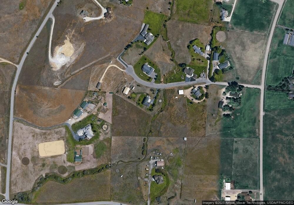
Map
Nearby Homes
- 2138 Horsetail Ln
- 10019 Equestrian Way
- 10397 Sienna Loop
- 9772 Waldo Rd
- 10377 Sienna Loop
- 10315 Sienna Loop
- 10305 Sienna Loop
- 10285 Sienna Loop
- 10291 Sienna Loop
- 9558 Shikane Ln
- 10705 George Cates Blvd
- NHN O'Keefe Creek
- 9332 Snapdragon Dr
- 11480 O'Keefe Creek Blvd
- 8960 Marigold Ct
- 9390 Baron's Ct
- 9294 Trigger Ct
- 8792 Churchill Downs Dr
- 8845 Churchill Downs Dr
- 8791 Churchill Downs Dr
- NHN The Ln
- 10151 The Ln
- 10234 The Lane
- 10146 The Ln
- 10101 The Ln
- 10283 The Lane
- 10283 The Lane
- 10175 George Cates Blvd
- 10146 The Lane
- no # The Ln
- 10118 Tookie Trek Rd
- 10282 The Lane
- 10100 The Lane
- 10210 Waldo Williams Rd
- 10088 The Ln
- Nhn George Cates (Lot 2) Blvd
- 10065 The Lane
- 10157 Rocky Rd
- 10412 Tookie Trek Rd
- Nhn Tookie Trek