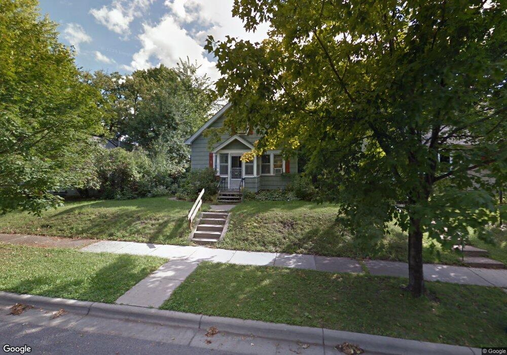
1026 Burgess St Saint Paul, MN 55103
Como Park NeighborhoodEstimated Value: $260,000 - $268,000
3
Beds
1
Bath
941
Sq Ft
$282/Sq Ft
Est. Value
About This Home
This home is located at 1026 Burgess St, Saint Paul, MN 55103 and is currently estimated at $264,935, approximately $281 per square foot. 1026 Burgess St is a home located in Ramsey County with nearby schools including Como Park Elementary School, Murray Middle School, and Como Park Senior High School.
Ownership History
Date
Name
Owned For
Owner Type
Purchase Details
Closed on
Sep 17, 2021
Sold by
Woods Whitney Elizabeth and Woods David Michael
Bought by
Woods Whitney Elizabeth and Woods David Michael
Current Estimated Value
Home Financials for this Owner
Home Financials are based on the most recent Mortgage that was taken out on this home.
Original Mortgage
$124,000
Outstanding Balance
$104,418
Interest Rate
2.8%
Mortgage Type
New Conventional
Estimated Equity
$160,517
Purchase Details
Closed on
Aug 31, 2016
Sold by
Ferguson Heidi
Bought by
Rittenhouse David M and Wais Whitney
Home Financials for this Owner
Home Financials are based on the most recent Mortgage that was taken out on this home.
Original Mortgage
$129,905
Interest Rate
3.45%
Mortgage Type
New Conventional
Purchase Details
Closed on
Apr 24, 2003
Sold by
Smith Terry Norman and Smith Kathryn N
Bought by
Ferguson Heidi
Create a Home Valuation Report for This Property
The Home Valuation Report is an in-depth analysis detailing your home's value as well as a comparison with similar homes in the area
Home Values in the Area
Average Home Value in this Area
Purchase History
| Date | Buyer | Sale Price | Title Company |
|---|---|---|---|
| Woods Whitney Elizabeth | -- | Affinity Plus Title Co | |
| Rittenhouse David M | $144,139 | Burnet Title | |
| Ferguson Heidi | $160,000 | -- |
Source: Public Records
Mortgage History
| Date | Status | Borrower | Loan Amount |
|---|---|---|---|
| Open | Woods Whitney Elizabeth | $124,000 | |
| Closed | Rittenhouse David M | $129,905 |
Source: Public Records
Tax History Compared to Growth
Tax History
| Year | Tax Paid | Tax Assessment Tax Assessment Total Assessment is a certain percentage of the fair market value that is determined by local assessors to be the total taxable value of land and additions on the property. | Land | Improvement |
|---|---|---|---|---|
| 2025 | $3,204 | $250,000 | $42,400 | $207,600 |
| 2023 | $3,204 | $217,500 | $42,400 | $175,100 |
| 2022 | $2,820 | $212,200 | $42,400 | $169,800 |
| 2021 | $2,634 | $188,800 | $42,400 | $146,400 |
| 2020 | $2,660 | $183,800 | $42,400 | $141,400 |
| 2019 | $2,474 | $174,500 | $42,400 | $132,100 |
| 2018 | $2,146 | $162,100 | $42,400 | $119,700 |
| 2017 | $2,560 | $148,300 | $33,900 | $114,400 |
| 2016 | $2,872 | $0 | $0 | $0 |
| 2015 | $2,738 | $137,800 | $33,900 | $103,900 |
| 2014 | $2,678 | $0 | $0 | $0 |
Source: Public Records
Map
Nearby Homes
- 951 Front Ave
- 1030 Englewood Ave
- 999 Minnehaha Ave W
- 1039 Argyle St
- 895 Front Ave
- 1056 Lexington Pkwy N
- 989 Barrett St
- 1083 Chatsworth St N
- 687 Lexington Pkwy N
- 1094 Argyle St
- 1084 Ryde St
- 1125 Argyle St
- 1282 Hewitt Ave
- 1294 Hubbard Ave
- 1174 Lafond Ave
- 1174 Lexington Pkwy N
- 1215 Lafond Ave
- 751 Van Buren Ave
- 1258 Blair Ave
- 885 Edmund Ave
- 1032 Burgess St
- 1022 Burgess St
- 1027 Topping St
- 1023 Topping St
- 1010 Burgess St
- 1031 Topping St
- 1019 Topping St
- 874 Oxford St N
- 1025 Burgess St
- 1015 Topping St
- 1023 Burgess St
- 1006 Burgess St
- 1017 Burgess St
- 906 Oxford St N
- 1046 Burgess St
- 1011 Topping St
- 1002 Burgess St
- 1007 Topping St
- 1011 Burgess St
- 877 Oxford St N