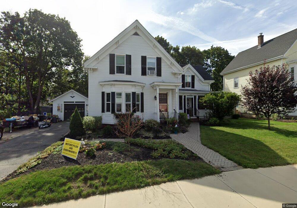
103 Dean Ave Franklin, MA 02038
Downtown Franklin NeighborhoodEstimated Value: $587,967 - $633,000
3
Beds
2
Baths
1,963
Sq Ft
$311/Sq Ft
Est. Value
About This Home
This home is located at 103 Dean Ave, Franklin, MA 02038 and is currently estimated at $609,742, approximately $310 per square foot. 103 Dean Ave is a home located in Norfolk County with nearby schools including Helen Keller Elementary School, Annie Sullivan Middle School, and Franklin High School.
Ownership History
Date
Name
Owned For
Owner Type
Purchase Details
Closed on
Oct 25, 2012
Sold by
Joan M Cummings Ret
Bought by
Durler Nanci E
Current Estimated Value
Home Financials for this Owner
Home Financials are based on the most recent Mortgage that was taken out on this home.
Original Mortgage
$200,800
Outstanding Balance
$139,868
Interest Rate
3.56%
Mortgage Type
New Conventional
Estimated Equity
$469,874
Purchase Details
Closed on
Oct 26, 2011
Sold by
Parker Ruth K Est
Bought by
Joan M Cummings Ret
Create a Home Valuation Report for This Property
The Home Valuation Report is an in-depth analysis detailing your home's value as well as a comparison with similar homes in the area
Home Values in the Area
Average Home Value in this Area
Purchase History
| Date | Buyer | Sale Price | Title Company |
|---|---|---|---|
| Durler Nanci E | $251,000 | -- | |
| Joan M Cummings Ret | $20,500 | -- |
Source: Public Records
Mortgage History
| Date | Status | Borrower | Loan Amount |
|---|---|---|---|
| Open | Durler Nanci E | $200,800 |
Source: Public Records
Tax History
| Year | Tax Paid | Tax Assessment Tax Assessment Total Assessment is a certain percentage of the fair market value that is determined by local assessors to be the total taxable value of land and additions on the property. | Land | Improvement |
|---|---|---|---|---|
| 2025 | $5,691 | $489,800 | $219,300 | $270,500 |
| 2024 | $5,249 | $445,200 | $219,300 | $225,900 |
| 2023 | $5,027 | $399,600 | $202,800 | $196,800 |
| 2022 | $4,993 | $355,400 | $182,700 | $172,700 |
| 2021 | $4,534 | $309,500 | $171,500 | $138,000 |
| 2020 | $4,771 | $328,800 | $197,800 | $131,000 |
| 2019 | $4,386 | $299,200 | $168,200 | $131,000 |
| 2018 | $4,273 | $291,700 | $174,800 | $116,900 |
| 2017 | $4,109 | $281,800 | $164,900 | $116,900 |
| 2016 | $4,067 | $280,500 | $178,000 | $102,500 |
| 2015 | $3,799 | $256,000 | $153,500 | $102,500 |
| 2014 | $3,345 | $231,500 | $129,000 | $102,500 |
Source: Public Records
Map
Nearby Homes
- 90 E Central St Unit 103
- 90 E Central St Unit 106
- 90 E Central St Unit 304
- 90 E Central St Unit 202
- 90 E Central St Unit 105
- 90 E Central St Unit 301
- 88 Crescent St
- 30 Longobardi Dr Unit 30
- 120 Union St Unit 1
- 99 Summer St
- 14 Pleasant St Unit B
- 62 Uncas Ave
- 64 Uncas Ave
- 76 Uncas Ave
- 66 Uncas Ave
- 68 Uncas Ave
- 80 Uncas Ave
- 82 Uncas Ave
- 82 Uncas Ave Unit 1
- 17 Longhill Rd
- 107 Dean Ave
- 97 Dean Ave
- 106 Dean Ave
- 106 Dean Ave Unit 2
- 106 Dean Ave Unit 1
- 100 Dean Ave
- 8 Hillside Rd
- 8 Hillside Rd Unit 2
- 113 Dean Ave
- 113 Dean Ave Unit B
- 113 Dean Ave Unit C
- 113 Dean Ave Unit A
- 113 Dean Ave Unit A-1st Floor
- 89 Dean Ave Unit B
- 89 Dean Ave Unit A
- 91 Dean Ave Unit 91B
- 89 Dean Ave Unit 1
- 91 Dean Ave Unit B
- 89 Dean Ave Unit B
- 89 Dean Ave
Your Personal Tour Guide
Ask me questions while you tour the home.