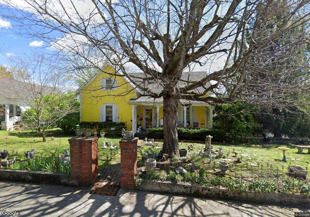
103 Mccreary Heights Dickson, TN 37055
Estimated Value: $225,247 - $339,000
--
Bed
1
Bath
1,274
Sq Ft
$219/Sq Ft
Est. Value
About This Home
This home is located at 103 Mccreary Heights, Dickson, TN 37055 and is currently estimated at $279,062, approximately $219 per square foot. 103 Mccreary Heights is a home located in Dickson County with nearby schools including Centennial Elementary School, Dickson Middle School, and Dickson County High School.
Ownership History
Date
Name
Owned For
Owner Type
Purchase Details
Closed on
Aug 29, 2007
Sold by
Sims Wesley C
Bought by
Meise Kathy L
Current Estimated Value
Home Financials for this Owner
Home Financials are based on the most recent Mortgage that was taken out on this home.
Original Mortgage
$23,000
Outstanding Balance
$14,599
Interest Rate
6.62%
Estimated Equity
$264,463
Purchase Details
Closed on
Jun 1, 2007
Sold by
Novastar Mortgage Inc
Bought by
Sims Wesley C
Purchase Details
Closed on
Mar 28, 2006
Sold by
Menke Emily
Bought by
Neal Stephanie G O
Purchase Details
Closed on
Oct 28, 1975
Bought by
Legg Brenda J
Create a Home Valuation Report for This Property
The Home Valuation Report is an in-depth analysis detailing your home's value as well as a comparison with similar homes in the area
Home Values in the Area
Average Home Value in this Area
Purchase History
| Date | Buyer | Sale Price | Title Company |
|---|---|---|---|
| Meise Kathy L | $153,500 | -- | |
| Sims Wesley C | $95,000 | -- | |
| Neal Stephanie G O | $120,000 | -- | |
| Legg Brenda J | -- | -- |
Source: Public Records
Mortgage History
| Date | Status | Borrower | Loan Amount |
|---|---|---|---|
| Open | Legg Brenda J | $23,000 |
Source: Public Records
Tax History Compared to Growth
Tax History
| Year | Tax Paid | Tax Assessment Tax Assessment Total Assessment is a certain percentage of the fair market value that is determined by local assessors to be the total taxable value of land and additions on the property. | Land | Improvement |
|---|---|---|---|---|
| 2024 | $923 | $41,475 | $13,075 | $28,400 |
| 2023 | $923 | $29,550 | $7,775 | $21,775 |
| 2022 | $923 | $29,550 | $7,775 | $21,775 |
| 2021 | $923 | $29,550 | $7,775 | $21,775 |
| 2020 | $923 | $29,550 | $7,775 | $21,775 |
| 2019 | $923 | $29,550 | $7,775 | $21,775 |
| 2018 | $1,130 | $30,950 | $7,000 | $23,950 |
| 2017 | $1,130 | $30,950 | $7,000 | $23,950 |
| 2016 | $1,130 | $30,950 | $7,000 | $23,950 |
| 2015 | $1,040 | $26,800 | $7,000 | $19,800 |
| 2014 | $1,040 | $26,800 | $7,000 | $19,800 |
Source: Public Records
Map
Nearby Homes
- 213 Mccreary Heights
- 303 W College St
- 0 Rocky Dr Unit RTC2761527
- 414 W College St
- 312 N Main St
- 414 W Railroad St
- 119 Oak Dr
- 500 Church St
- 106 Poplar St
- 701 W 5th St
- 709 W Walnut St
- 207 Scott St
- 909 W 1st St
- 0 Hardin Ave
- 210 Hardin Ave
- 430 Center Ave
- 433 Center Ave
- 501 High St Unit A
- 0 Highway 46 Unit RTC2944647
- 422 High St
- 105 Mccreary Heights
- 101 Mccreary Heights
- 107 Mccreary Heights
- 311 Murrell St
- 305 Murrell St
- 111 Mccreary Heights
- 110 Mccreary Heights
- 113 Mccreary Heights
- 303 Murrell St
- 310 Murrell St
- 306 Murrell St
- 401 Murrell St
- 112 Mccreary Heights
- 304 Murrell St
- 200 Mccreary Heights
- 301 Murrell St
- 103 Nesbitt St
- 400 Murrell St
- 302 Murrell St
- 106 College Ct