Estimated Value: $184,000 - $231,455
2
Beds
1
Bath
1,388
Sq Ft
$143/Sq Ft
Est. Value
About This Home
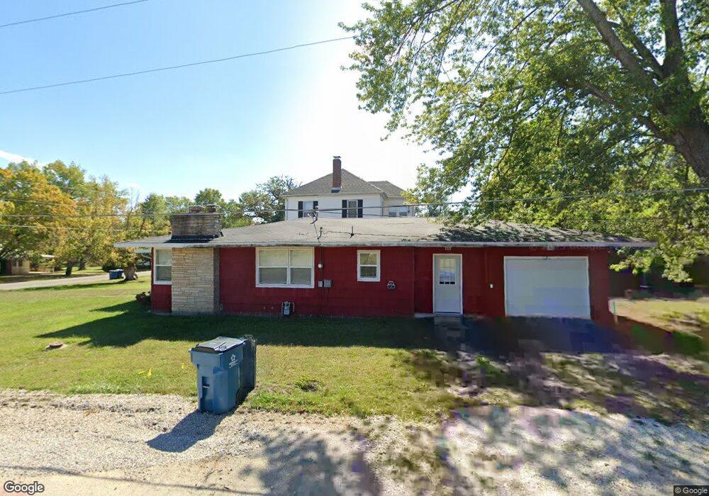
This home is located at 103 S Walnut St, Eldon, MO 65026 and is currently estimated at $198,864, approximately $143 per square foot. 103 S Walnut St is a home located in Miller County with nearby schools including South Elementary School, Eldon Upper Elementary School, and Eldon Middle School.
Ownership History
Date
Name
Owned For
Owner Type
Purchase Details
Closed on
May 31, 2024
Sold by
Nolt Donald
Bought by
Kinsey Josette
Current Estimated Value
Home Financials for this Owner
Home Financials are based on the most recent Mortgage that was taken out on this home.
Original Mortgage
$149,865
Outstanding Balance
$147,718
Interest Rate
7.1%
Mortgage Type
New Conventional
Estimated Equity
$51,146
Purchase Details
Closed on
Nov 2, 2023
Sold by
Nichols Fred G and Nichols Claire Freeze
Bought by
Nolt Donald
Purchase Details
Closed on
Jan 15, 2021
Sold by
Atwell Alicia
Bought by
Nichols Fred G
Home Financials for this Owner
Home Financials are based on the most recent Mortgage that was taken out on this home.
Original Mortgage
$69,900
Interest Rate
2.71%
Mortgage Type
Seller Take Back
Create a Home Valuation Report for This Property
The Home Valuation Report is an in-depth analysis detailing your home's value as well as a comparison with similar homes in the area
Home Values in the Area
Average Home Value in this Area
Purchase History
| Date | Buyer | Sale Price | Title Company |
|---|---|---|---|
| Kinsey Josette | -- | Miller County Title | |
| Nolt Donald | -- | Midwest Title | |
| Nichols Fred G | -- | Miller County Title Co |
Source: Public Records
Mortgage History
| Date | Status | Borrower | Loan Amount |
|---|---|---|---|
| Open | Kinsey Josette | $149,865 | |
| Previous Owner | Nichols Fred G | $69,900 |
Source: Public Records
Tax History
| Year | Tax Paid | Tax Assessment Tax Assessment Total Assessment is a certain percentage of the fair market value that is determined by local assessors to be the total taxable value of land and additions on the property. | Land | Improvement |
|---|---|---|---|---|
| 2025 | $791 | $18,270 | $2,500 | $15,770 |
| 2024 | $497 | $10,940 | $2,260 | $8,680 |
| 2023 | $497 | $10,940 | $2,260 | $8,680 |
| 2022 | $497 | $10,940 | $2,260 | $8,680 |
| 2021 | $497 | $10,940 | $2,260 | $8,680 |
| 2020 | $398 | $8,680 | $1,610 | $7,070 |
| 2019 | $399 | $8,680 | $1,610 | $7,070 |
| 2018 | $402 | $8,680 | $1,610 | $7,070 |
| 2017 | $393 | $8,890 | $1,510 | $7,380 |
| 2016 | $396 | $8,890 | $0 | $0 |
| 2015 | -- | $8,890 | $0 | $0 |
| 2012 | -- | $9,880 | $0 | $0 |
Source: Public Records
Map
Nearby Homes
- 130 S Grand Ave
- 406 S Godfrey Ave
- 502 W 6th St
- 414 W 6th St
- 405 S Dunstan Dr
- 509 Sunset Strip
- 110 W Autry St
- Lot 5 W Bourbon St
- Lot 7 W Bourbon St
- Lot 9 W Bourbon St
- Lot 6 W Bourbon St
- Lot 10 W Bourbon St
- 502 N Vernon Dr
- 134 W 8th St
- 904 Larkin Dr
- 50 Highway Y
- 807 W Rollotrend Ln
- 807 Rollotrend Ln
- 406 N Mill St
- 207 Franklin Ave
Your Personal Tour Guide
Ask me questions while you tour the home.