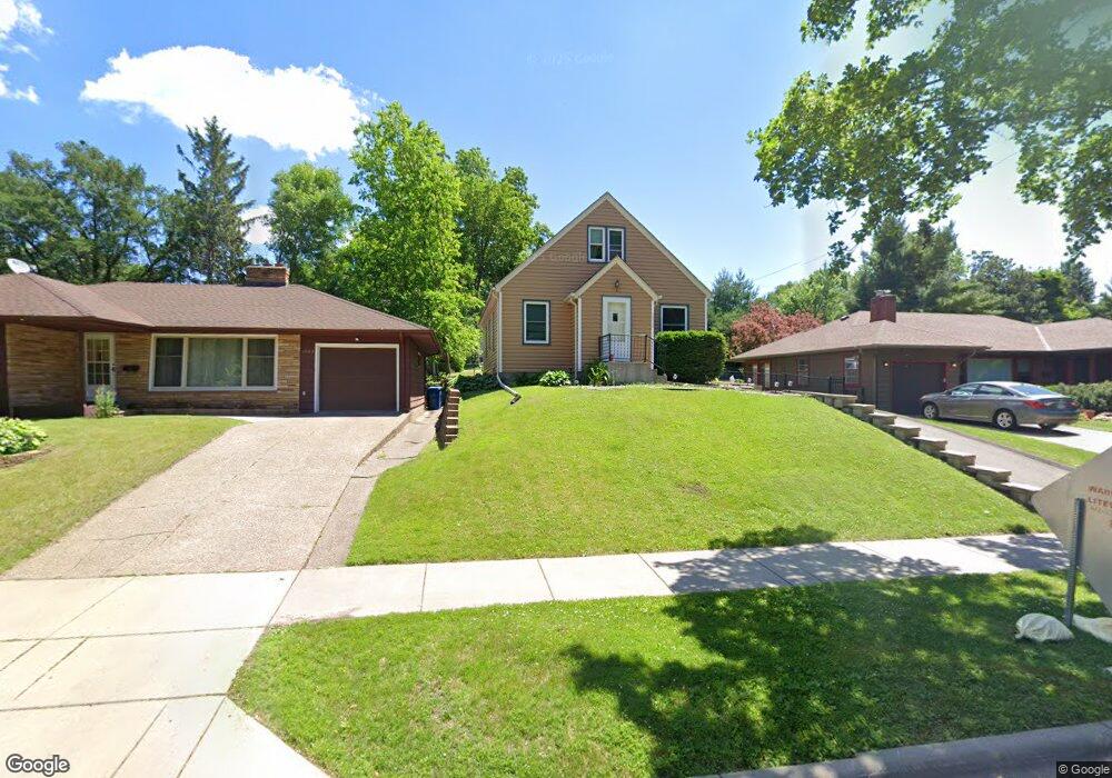
1032 Delaware Ave Saint Paul, MN 55118
Estimated Value: $264,000 - $317,000
3
Beds
1
Bath
1,142
Sq Ft
$260/Sq Ft
Est. Value
About This Home
This home is located at 1032 Delaware Ave, Saint Paul, MN 55118 and is currently estimated at $296,589, approximately $259 per square foot. 1032 Delaware Ave is a home located in Dakota County with nearby schools including Somerset Elementary School, Heritage E-STEM Magnet School, and Two Rivers High School.
Ownership History
Date
Name
Owned For
Owner Type
Purchase Details
Closed on
Sep 21, 2011
Sold by
Estelle Marion S
Bought by
Moryn Ernest
Current Estimated Value
Home Financials for this Owner
Home Financials are based on the most recent Mortgage that was taken out on this home.
Original Mortgage
$86,743
Outstanding Balance
$59,059
Interest Rate
4.14%
Mortgage Type
FHA
Estimated Equity
$237,530
Create a Home Valuation Report for This Property
The Home Valuation Report is an in-depth analysis detailing your home's value as well as a comparison with similar homes in the area
Home Values in the Area
Average Home Value in this Area
Purchase History
| Date | Buyer | Sale Price | Title Company |
|---|---|---|---|
| Moryn Ernest | $89,000 | None Available |
Source: Public Records
Mortgage History
| Date | Status | Borrower | Loan Amount |
|---|---|---|---|
| Open | Moryn Ernest | $86,743 |
Source: Public Records
Tax History
| Year | Tax Paid | Tax Assessment Tax Assessment Total Assessment is a certain percentage of the fair market value that is determined by local assessors to be the total taxable value of land and additions on the property. | Land | Improvement |
|---|---|---|---|---|
| 2024 | $3,048 | $249,500 | $66,800 | $182,700 |
| 2023 | $3,048 | $258,000 | $70,800 | $187,200 |
| 2022 | $2,582 | $239,900 | $70,500 | $169,400 |
| 2021 | $2,548 | $211,900 | $61,300 | $150,600 |
| 2020 | $2,364 | $208,000 | $58,400 | $149,600 |
| 2019 | $2,291 | $190,200 | $55,600 | $134,600 |
| 2018 | $1,922 | $177,600 | $52,000 | $125,600 |
| 2017 | $1,733 | $159,100 | $49,500 | $109,600 |
| 2016 | $1,706 | $141,400 | $45,000 | $96,400 |
| 2015 | $1,580 | $115,033 | $36,396 | $78,637 |
| 2014 | -- | $102,716 | $32,799 | $69,917 |
| 2013 | -- | $92,688 | $29,393 | $63,295 |
Source: Public Records
Map
Nearby Homes
- 1072 Delaware Ave
- 985 Cherokee Ave
- 974 Ohio St
- 1248 Delaware Ave
- 641 Sibley Memorial Hwy
- 315 Annapolis St W
- 822 Smith Ave S
- 902 Dodd Rd
- 8 Dorset Rd
- 763 Cherokee Ave
- 625 Ivy Falls Ave
- 242 Annapolis St W
- 342 Curtice St W
- 622 Maple Park Dr
- 1306 Ottawa Ave
- 973 Bidwell St
- 426 Emerson Ave W
- 219 Winona St W
- 670 Cherokee Ave
- 140 Belvidere St W
- 1032 Delaware Ave
- 1028 Delaware Ave
- 1036 Delaware Ave
- 1046 Delaware Ave
- 1037 Cherokee Ave
- 1033 Cherokee Ave
- 1039 Cherokee Ave
- 1043 Cherokee Ave
- 1027 Cherokee Ave
- 1023 Cherokee Ave
- 1052 Delaware Ave
- 1037 Delaware Ave
- 1012 Delaware Ave
- 1051 Cherokee Ave
- 1023 Delaware Ave
- 1045 Delaware Ave
- 1033 Delaware Ave
- 1029 Delaware Ave
- 1015 Cherokee Ave
- 1056 Delaware Ave
Your Personal Tour Guide
Ask me questions while you tour the home.