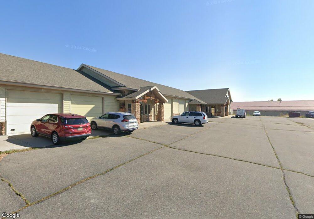
1033 S 29th St W Billings, MT 59102
West End NeighborhoodEstimated Value: $338,419
--
Bed
--
Bath
--
Sq Ft
3,267
Sq Ft Lot
About This Home
This home is located at 1033 S 29th St W, Billings, MT 59102 and is currently priced at $338,419. 1033 S 29th St W is a home located in Yellowstone County with nearby schools including Elysian Elementary School, Elysian School, and Billings West High School.
Ownership History
Date
Name
Owned For
Owner Type
Purchase Details
Closed on
Apr 23, 2012
Sold by
Pawiroredjo Angela
Bought by
Pawiroredjo Kai
Current Estimated Value
Purchase Details
Closed on
Jan 31, 2006
Sold by
Harkins Jerry L and Harkins Leola R
Bought by
Pawiroredjo Kai and Pawiroredjo Angela
Purchase Details
Closed on
Jun 30, 2005
Sold by
Yochum Inc
Bought by
Harkins Jerry L and Harkins Leola R
Home Financials for this Owner
Home Financials are based on the most recent Mortgage that was taken out on this home.
Original Mortgage
$141,200
Interest Rate
5.65%
Mortgage Type
Purchase Money Mortgage
Create a Home Valuation Report for This Property
The Home Valuation Report is an in-depth analysis detailing your home's value as well as a comparison with similar homes in the area
Home Values in the Area
Average Home Value in this Area
Purchase History
| Date | Buyer | Sale Price | Title Company |
|---|---|---|---|
| Pawiroredjo Kai | -- | None Available | |
| Pawiroredjo Kai | -- | None Available | |
| Harkins Jerry L | -- | None Available |
Source: Public Records
Mortgage History
| Date | Status | Borrower | Loan Amount |
|---|---|---|---|
| Previous Owner | Harkins Jerry L | $141,200 | |
| Closed | Pawiroredjo Kai | $0 |
Source: Public Records
Tax History Compared to Growth
Tax History
| Year | Tax Paid | Tax Assessment Tax Assessment Total Assessment is a certain percentage of the fair market value that is determined by local assessors to be the total taxable value of land and additions on the property. | Land | Improvement |
|---|---|---|---|---|
| 2025 | $3,813 | $339,793 | $110,087 | $229,706 |
| 2024 | $3,813 | $311,021 | $83,021 | $228,000 |
| 2023 | $3,980 | $311,021 | $83,021 | $228,000 |
| 2022 | $4,358 | $310,492 | $0 | $0 |
| 2021 | $4,004 | $310,492 | $0 | $0 |
| 2020 | $4,131 | $312,141 | $0 | $0 |
| 2019 | $3,925 | $312,141 | $0 | $0 |
| 2018 | $3,950 | $305,066 | $0 | $0 |
| 2017 | $3,237 | $305,066 | $0 | $0 |
| 2016 | $3,536 | $290,883 | $0 | $0 |
| 2015 | $3,441 | $290,883 | $0 | $0 |
| 2014 | $3,348 | $208,145 | $0 | $0 |
Source: Public Records
Map
Nearby Homes
- 28 Gatewood Dr
- 33 Wheatland Dr
- 44 Vista Dr
- 31 Wheatland Dr
- 46 Vista Dr
- 4 W Meadow Dr
- 7 W Meadows
- 36 Brookpark Dr
- 14 Wild Oak Dr
- 24 Willow Bend Dr S
- 30 Brookpark Dr
- 14 W Meadow Dr
- 16 Brookpark Dr
- 8 Brookpark Dr
- 44 Redrock Dr
- 25 Redrock Dr
- 43 Roundup Dr
- 14 Bonanza Dr
- 1 Bonanza Dr
- 3295 Granger Ave E Unit 6
- 1033 S 29th St W
- 1033 S 29th St W
- 1033 S 29th St W
- 1057 S 29th St W
- 1057 S 29th St W
- 1057 S 29th St W
- 1057 S 29th St W
- 00 S 29th St W
- 0 S 29th St W
- 2877 Overland Ave
- 971 S 29th St W
- 2747 Enterprise Ave
- 2905 Millennium Cir
- 2905 Millennium Cir
- 2905 Millennium Cir
- 2905 Millennium Cir
- 2905 Millennium Cir
- 2905 Millennium Cir
- 2905 Millennium Cir
- 991 S 29th St W