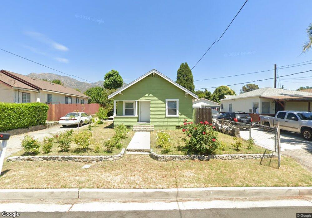
10412 Leolang Ave Sunland, CA 91040
Sunland NeighborhoodEstimated Value: $618,665 - $721,000
2
Beds
1
Bath
772
Sq Ft
$870/Sq Ft
Est. Value
About This Home
This home is located at 10412 Leolang Ave, Sunland, CA 91040 and is currently estimated at $671,916, approximately $870 per square foot. 10412 Leolang Ave is a home located in Los Angeles County with nearby schools including Apperson Street Elementary School, Mt. Gleason Middle School, and Verdugo Hills Senior High School.
Ownership History
Date
Name
Owned For
Owner Type
Purchase Details
Closed on
Jul 24, 2001
Sold by
Gardetto John
Bought by
Gardetto Hsiao Mei
Current Estimated Value
Home Financials for this Owner
Home Financials are based on the most recent Mortgage that was taken out on this home.
Original Mortgage
$101,000
Interest Rate
7.15%
Create a Home Valuation Report for This Property
The Home Valuation Report is an in-depth analysis detailing your home's value as well as a comparison with similar homes in the area
Home Values in the Area
Average Home Value in this Area
Purchase History
| Date | Buyer | Sale Price | Title Company |
|---|---|---|---|
| Gardetto Hsiao Mei | -- | American Title Co |
Source: Public Records
Mortgage History
| Date | Status | Borrower | Loan Amount |
|---|---|---|---|
| Previous Owner | Gardetto Hsiao Mei | $101,000 |
Source: Public Records
Tax History Compared to Growth
Tax History
| Year | Tax Paid | Tax Assessment Tax Assessment Total Assessment is a certain percentage of the fair market value that is determined by local assessors to be the total taxable value of land and additions on the property. | Land | Improvement |
|---|---|---|---|---|
| 2025 | $3,079 | $253,295 | $151,984 | $101,311 |
| 2024 | $3,079 | $248,329 | $149,004 | $99,325 |
| 2023 | $3,020 | $243,461 | $146,083 | $97,378 |
| 2022 | $2,879 | $238,688 | $143,219 | $95,469 |
| 2021 | $2,840 | $234,009 | $140,411 | $93,598 |
| 2019 | $2,754 | $227,071 | $136,248 | $90,823 |
| 2018 | $2,699 | $222,620 | $133,577 | $89,043 |
| 2016 | $2,572 | $213,978 | $128,391 | $85,587 |
| 2015 | $2,534 | $210,765 | $126,463 | $84,302 |
| 2014 | $2,549 | $206,637 | $123,986 | $82,651 |
Source: Public Records
Map
Nearby Homes
- 10414 Whitegate Ave
- 10404 Jardine Ave
- 7961 Apperson St
- 10300 Whitegate Ave
- 10529 Mount Gleason Ave
- 7961 Day St
- 7851 Fenwick St
- 10623 Woodward Ave
- 7755 Day St
- 10430 Mcvine Ave
- 10429 Mcvine Ave
- 10415 Mcvine Ave Unit 2
- 7951 Glenties Ln
- 10316 Plainview Ave
- 7651 Valmont St
- 10554 Plainview Ave
- 8230 Hillrose St
- 10437 Helendale Ave
- 7626 Valmont St
- 10129 Plainview Ave
- 10416 Leolang Ave
- 10406 Leolang Ave
- 10422 Leolang Ave
- 10404 Leolang Ave
- 10415 Whitegate Ave
- 7931 Wyngate St
- 10430 Leolang Ave
- 10358 Leolang Ave
- 10421 Whitegate Ave
- 10415 Leolang Ave
- 10411 Whitegate Ave
- 10425 Whitegate Ave
- 10421 Leolang Ave
- 10434 Leolang Ave
- 10401 Whitegate Ave
- 7935 Wyngate St
- 10356 Leolang Ave
- 10425 Leolang Ave
- 10361 Whitegate Ave
- 10357 Leolang Ave