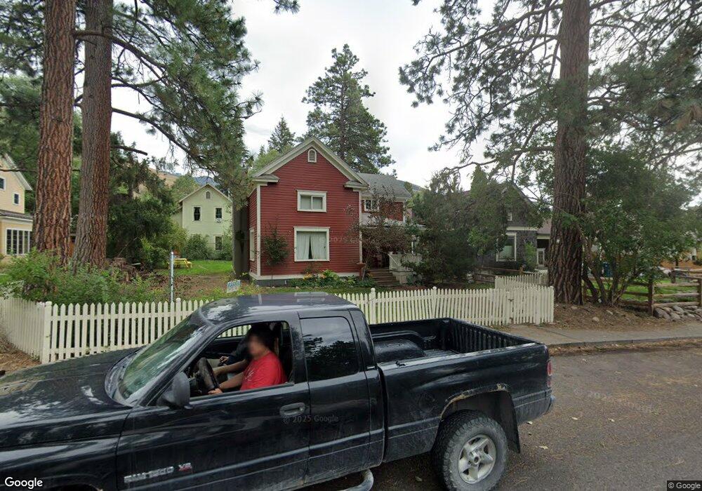
1042 Monroe St Missoula, MT 59802
Lower Rattlesnake NeighborhoodEstimated Value: $629,000 - $922,010
6
Beds
3
Baths
3,204
Sq Ft
$255/Sq Ft
Est. Value
About This Home
This home is located at 1042 Monroe St, Missoula, MT 59802 and is currently estimated at $816,753, approximately $254 per square foot. 1042 Monroe St is a home located in Missoula County with nearby schools including Rattlesnake Elementary School, Washington Middle School, and Hellgate High School.
Ownership History
Date
Name
Owned For
Owner Type
Purchase Details
Closed on
Jun 14, 2010
Sold by
Ragsdale Amy W
Bought by
Stark Peter W and Ragsdale Amy W
Current Estimated Value
Home Financials for this Owner
Home Financials are based on the most recent Mortgage that was taken out on this home.
Original Mortgage
$205,000
Outstanding Balance
$137,526
Interest Rate
4.99%
Mortgage Type
New Conventional
Estimated Equity
$679,227
Create a Home Valuation Report for This Property
The Home Valuation Report is an in-depth analysis detailing your home's value as well as a comparison with similar homes in the area
Home Values in the Area
Average Home Value in this Area
Purchase History
| Date | Buyer | Sale Price | Title Company |
|---|---|---|---|
| Stark Peter W | -- | Stm | |
| Ragsdale Amy W | -- | Stm |
Source: Public Records
Mortgage History
| Date | Status | Borrower | Loan Amount |
|---|---|---|---|
| Open | Ragsdale Amy W | $205,000 |
Source: Public Records
Tax History
| Year | Tax Paid | Tax Assessment Tax Assessment Total Assessment is a certain percentage of the fair market value that is determined by local assessors to be the total taxable value of land and additions on the property. | Land | Improvement |
|---|---|---|---|---|
| 2025 | $9,916 | $899,054 | $246,974 | $652,080 |
| 2024 | $9,516 | $782,038 | $233,948 | $548,090 |
| 2023 | $9,169 | $782,038 | $233,948 | $548,090 |
| 2022 | $8,485 | $628,128 | $0 | $0 |
| 2021 | $7,630 | $628,128 | $0 | $0 |
| 2020 | $7,310 | $551,812 | $0 | $0 |
| 2019 | $7,182 | $551,812 | $0 | $0 |
| 2018 | $6,664 | $497,840 | $0 | $0 |
| 2017 | $6,650 | $497,840 | $0 | $0 |
| 2016 | $5,485 | $435,302 | $0 | $0 |
| 2015 | $5,073 | $435,302 | $0 | $0 |
| 2014 | $4,392 | $212,285 | $0 | $0 |
Source: Public Records
Map
Nearby Homes
- 838 Locust St
- 1811 Elison Ln
- 1110 Vine St
- 412 E Spruce St
- 416 E Pine St
- 105 N 3rd St W
- 2201 Greenough Ct W
- 111 N 2nd St W
- 105 E Pine St
- 8862 Santa Anita Rd
- 8876 Santa Anita Rd
- 2215 Raymond Ave
- 1227 Basecamp Dr Unit A
- 1250 Basecamp Dr Unit F
- 5237 Ginger Quill Rd Unit B
- 5237 Ginger Quill Rd Unit A
- 5236 Ginger Quill Rd Unit A
- 606 Linden St
- 131 S Higgins Ave Unit 5-3
- 422 W Spruce St
Your Personal Tour Guide
Ask me questions while you tour the home.