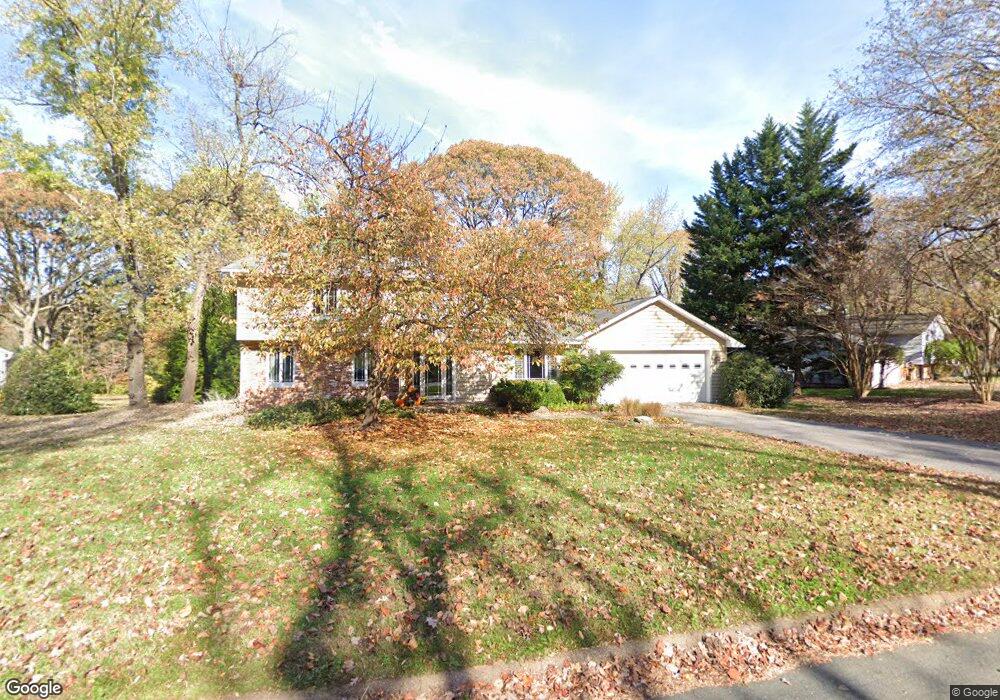
1045 Ulmstead Cir Arnold, MD 21012
Estimated Value: $676,646 - $923,000
Studio
3
Baths
2,044
Sq Ft
$401/Sq Ft
Est. Value
About This Home
This home is located at 1045 Ulmstead Cir, Arnold, MD 21012 and is currently estimated at $819,912, approximately $401 per square foot. 1045 Ulmstead Cir is a home located in Anne Arundel County with nearby schools including Broadneck Elementary School, Magothy River Middle School, and Broadneck High School.
Ownership History
Date
Name
Owned For
Owner Type
Purchase Details
Closed on
Apr 21, 2017
Sold by
Dickey James R and Dickey Tine K H
Bought by
Dickey James R
Current Estimated Value
Home Financials for this Owner
Home Financials are based on the most recent Mortgage that was taken out on this home.
Original Mortgage
$567,000
Outstanding Balance
$458,903
Interest Rate
3.25%
Mortgage Type
Adjustable Rate Mortgage/ARM
Estimated Equity
$361,009
Purchase Details
Closed on
Nov 5, 1997
Sold by
Gentry Newton
Bought by
Dickey James R and Dickey Tine K H
Purchase Details
Closed on
Jan 20, 1986
Sold by
Kim Key Y
Bought by
Gentry Newton 3Rd
Home Financials for this Owner
Home Financials are based on the most recent Mortgage that was taken out on this home.
Original Mortgage
$126,000
Interest Rate
10.99%
Create a Home Valuation Report for This Property
The Home Valuation Report is an in-depth analysis detailing your home's value as well as a comparison with similar homes in the area
Home Values in the Area
Average Home Value in this Area
Purchase History
| Date | Buyer | Sale Price | Title Company |
|---|---|---|---|
| Dickey James R | -- | Eagle Title Llc | |
| Dickey James R | $290,000 | -- | |
| Dickey James R | $290,000 | -- | |
| Gentry Newton 3Rd | $140,000 | -- |
Source: Public Records
Mortgage History
| Date | Status | Borrower | Loan Amount |
|---|---|---|---|
| Open | Dickey James R | $567,000 | |
| Previous Owner | Gentry Newton 3Rd | $126,000 | |
| Closed | Dickey James R | -- |
Source: Public Records
Tax History
| Year | Tax Paid | Tax Assessment Tax Assessment Total Assessment is a certain percentage of the fair market value that is determined by local assessors to be the total taxable value of land and additions on the property. | Land | Improvement |
|---|---|---|---|---|
| 2025 | $5,245 | $565,233 | -- | -- |
| 2024 | $5,245 | $537,100 | $307,600 | $229,500 |
| 2023 | $5,119 | $533,900 | $0 | $0 |
| 2022 | $4,803 | $530,700 | $0 | $0 |
| 2020 | $4,613 | $527,500 | $307,600 | $219,900 |
| 2019 | $4,546 | $527,500 | $307,600 | $219,900 |
| 2018 | $5,718 | $563,900 | $367,800 | $196,100 |
| 2017 | $4,332 | $555,567 | $0 | $0 |
| 2016 | -- | $547,233 | $0 | $0 |
| 2015 | -- | $538,900 | $0 | $0 |
| 2014 | -- | $528,600 | $0 | $0 |
Source: Public Records
Map
Nearby Homes
- 559 Melissa Ct
- 1159 Greenhill Rd
- 539 Greenblades Ct
- 903 Pine Trail
- 876 Shore Acres Rd
- 643 Oakland Hills Dr Unit U2A
- 1124 Brassie Ct
- 276 Overleaf Dr
- 889 Lynch Dr
- 404 Alameda Pkwy
- 1110 Niblick Ct
- 1467 Eagle Ct
- 1254 Masters Dr
- 303 Ternwing Dr
- 342 Buena Vista Ave
- 1410 Greendale Ct Unit 2-1410
- 1221 Seminole Dr
- 975 Phillips Dr
- 618 Newbridge Ct Unit 3-618
- 920 Burnett Ave
- 1039 Ulmstead Cir
- 1051 Ulmstead Cir
- 1026 Garywood Ln
- 1057 Ulmstead Cir
- 1020 Garywood Ln
- 1058 Ulmstead Cir
- 1052 Ulmstead Cir
- 1064 Ulmstead Cir
- 1027 Ulmstead Cir
- 1070 Ulmstead Cir
- 1046 Ulmstead Cir
- 1022 Placid Ct
- 1024 Placid Ct
- 1038 Garywood Ln
- 1031 Garywood Ln
- 1021 Ulmstead Cir
- 1026 Placid Ct
- 1034 Ulmstead Cir
- 576 Shore Acres Rd
- 594 Shore Acres Rd
Your Personal Tour Guide
Ask me questions while you tour the home.