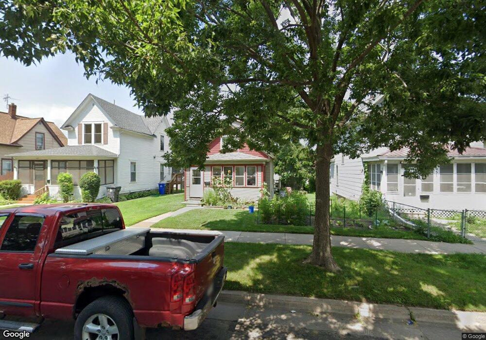
1047 1047 McLean-avenue- St. Paul, MN 55106
Dayton's Bluff NeighborhoodEstimated Value: $195,435 - $226,000
2
Beds
1
Bath
1,104
Sq Ft
$186/Sq Ft
Est. Value
About This Home
This home is located at 1047 1047 McLean-avenue-, St. Paul, MN 55106 and is currently estimated at $205,609, approximately $186 per square foot. 1047 1047 McLean-avenue- is a home located in Ramsey County with nearby schools including Dayton's Bluff Achievement Plus Elementary School, Battle Creek Middle School, and Harding Senior High School.
Ownership History
Date
Name
Owned For
Owner Type
Purchase Details
Closed on
Oct 30, 2018
Sold by
Geschke James and Geschke Cloe
Bought by
Langer Travis Hunter and Langer Jane Cecil
Current Estimated Value
Home Financials for this Owner
Home Financials are based on the most recent Mortgage that was taken out on this home.
Original Mortgage
$108,629
Outstanding Balance
$95,322
Interest Rate
4.7%
Mortgage Type
New Conventional
Estimated Equity
$110,287
Purchase Details
Closed on
Sep 22, 2008
Sold by
Deutsche Bank National Trust Co
Bought by
Geschke James C
Purchase Details
Closed on
Dec 11, 2003
Sold by
Mentlos John G and Contreras Mentlos Marina
Bought by
Peterson Tiffany G
Purchase Details
Closed on
Nov 2, 2001
Sold by
Mckee Gerald T and Mckee Elizabeth
Bought by
Mentzos John G and Contreras Mentzos Marina
Purchase Details
Closed on
May 1, 2000
Sold by
Jones Daniel T
Bought by
Mckee Gerald T
Create a Home Valuation Report for This Property
The Home Valuation Report is an in-depth analysis detailing your home's value as well as a comparison with similar homes in the area
Home Values in the Area
Average Home Value in this Area
Purchase History
| Date | Buyer | Sale Price | Title Company |
|---|---|---|---|
| Langer Travis Hunter | $119,900 | Burnet Title | |
| Geschke James C | $30,000 | -- | |
| Peterson Tiffany G | $115,540 | -- | |
| Mentzos John G | $71,900 | -- | |
| Mckee Gerald T | $49,000 | -- |
Source: Public Records
Mortgage History
| Date | Status | Borrower | Loan Amount |
|---|---|---|---|
| Open | Langer Travis Hunter | $108,629 |
Source: Public Records
Tax History Compared to Growth
Tax History
| Year | Tax Paid | Tax Assessment Tax Assessment Total Assessment is a certain percentage of the fair market value that is determined by local assessors to be the total taxable value of land and additions on the property. | Land | Improvement |
|---|---|---|---|---|
| 2025 | $2,228 | $168,100 | $25,300 | $142,800 |
| 2023 | $2,228 | $157,500 | $16,200 | $141,300 |
| 2022 | $1,894 | $164,100 | $16,200 | $147,900 |
| 2021 | $1,504 | $135,200 | $16,200 | $119,000 |
| 2020 | $1,744 | $115,700 | $16,200 | $99,500 |
| 2019 | $1,380 | $111,800 | $16,200 | $95,600 |
| 2018 | $1,554 | $101,800 | $16,200 | $85,600 |
| 2017 | $1,342 | $79,900 | $16,200 | $63,700 |
| 2016 | $1,434 | $0 | $0 | $0 |
| 2015 | $981 | $93,300 | $14,100 | $79,200 |
| 2014 | $928 | $0 | $0 | $0 |
Source: Public Records
Map
Nearby Homes
- 1102 Pacific St
- 1005 Mclean Ave
- 1076 Wilson Ave
- 1020 Wilson Ave
- 995 Wakefield Ave
- 1097 Euclid St
- 1056 3rd St E
- 401 Johnson Pkwy
- 980 3rd St E
- 212 Maple St
- 1026 Fremont Ave
- 1257 Wilson Ave
- 530 Forest St
- 271 English St
- 854 Euclid St
- 725 Wilson Ave
- 1269 Wilson Ave
- 721 Wilson Ave
- 535 Forest St
- 726 Euclid St
- 1047 Mclean Ave
- 1051 1051 McLean-avenue-
- 1043 Mclean Ave
- 1051 Mclean Ave
- 1039 Mclean Ave
- 1055 Mclean Ave
- 1035 Mclean Ave
- 1050 Pacific St
- 1054 Pacific St
- 1046 Pacific St
- 1046 1046 Pacific-Street-
- 1033 Mclean Ave
- 295 Earl St
- 295 295 Earl-Street-
- 1048 Mclean Ave
- 1044 Mclean Ave
- 1038 Pacific St
- 304 Earl St
- 312 Earl St
- 1056 Pacific St