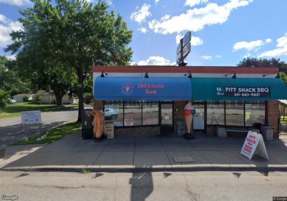
1048 Rice St Saint Paul, MN 55117
North End NeighborhoodEstimated Value: $398,403
--
Bed
--
Bath
3,734
Sq Ft
$107/Sq Ft
Est. Value
About This Home
This home is located at 1048 Rice St, Saint Paul, MN 55117 and is currently estimated at $398,403, approximately $106 per square foot. 1048 Rice St is a home located in Ramsey County with nearby schools including Bruce F Vento Elementary School, Washington Technology Magnet School, and Creative Arts Secondary School.
Ownership History
Date
Name
Owned For
Owner Type
Purchase Details
Closed on
May 31, 2023
Sold by
Dp & Ts Properties Llc
Bought by
Lah Aung and Mya Aung Mya
Current Estimated Value
Purchase Details
Closed on
Sep 27, 2017
Sold by
Yang Property Management Llc
Bought by
Dp And Ts Properties Llc
Home Financials for this Owner
Home Financials are based on the most recent Mortgage that was taken out on this home.
Original Mortgage
$170,000
Interest Rate
3.89%
Mortgage Type
Commercial
Purchase Details
Closed on
May 31, 2017
Sold by
Yang Property Management Llc
Bought by
Meggitt Dareld and Moran Antocio
Purchase Details
Closed on
Jul 18, 2003
Sold by
Menard Lucille E
Bought by
Barrett Kevin
Create a Home Valuation Report for This Property
The Home Valuation Report is an in-depth analysis detailing your home's value as well as a comparison with similar homes in the area
Home Values in the Area
Average Home Value in this Area
Purchase History
| Date | Buyer | Sale Price | Title Company |
|---|---|---|---|
| Lah Aung | $375,000 | -- | |
| Dp And Ts Properties Llc | $250,363 | None Available | |
| Meggitt Dareld | $243,000 | None Available | |
| Meggitt Dareld | -- | None Available | |
| Barrett Kevin | $160,000 | -- |
Source: Public Records
Mortgage History
| Date | Status | Borrower | Loan Amount |
|---|---|---|---|
| Previous Owner | Dp And Ts Properties Llc | $170,000 |
Source: Public Records
Tax History Compared to Growth
Tax History
| Year | Tax Paid | Tax Assessment Tax Assessment Total Assessment is a certain percentage of the fair market value that is determined by local assessors to be the total taxable value of land and additions on the property. | Land | Improvement |
|---|---|---|---|---|
| 2025 | $9,048 | $359,900 | $135,900 | $224,000 |
| 2023 | $9,048 | $324,000 | $135,900 | $188,100 |
| 2022 | $9,924 | $282,200 | $135,900 | $146,300 |
| 2021 | $13,250 | $300,000 | $135,900 | $164,100 |
| 2020 | $8,660 | $382,500 | $135,900 | $246,600 |
| 2019 | $8,770 | $250,800 | $135,900 | $114,900 |
| 2018 | $8,044 | $250,800 | $135,900 | $114,900 |
| 2017 | $9,080 | $240,300 | $135,900 | $104,400 |
| 2016 | $8,608 | $0 | $0 | $0 |
| 2015 | $8,218 | $184,500 | $135,900 | $48,600 |
| 2014 | $8,582 | $0 | $0 | $0 |
Source: Public Records
Map
Nearby Homes
- 71 Lawson Ave W
- 1098 Woodbridge St
- 95 Front Ave
- 1136 Albemarle St
- 56 Hatch Ave
- 964 Woodbridge St
- 940 Albemarle St
- 64 Front Ave
- 35 Front Ave
- 42 Front Ave
- 950 Marion St
- 1131 Marion St
- 101 Manitoba Ave
- 1156 Marion St
- 954 Galtier St
- 250 Rose Ave W
- 107 Winnipeg Ave
- 1071 Matilda St
- 89 Winnipeg Ave
- 849 Woodbridge St
- 1038 Rice St
- 1038 1038 Rice St
- 122 Cook Ave W
- 122 122 Cook Ave W
- 118 Cook Ave W
- 116 Cook Ave W
- 116 116 Cook-Avenue-w
- 123 Cook Ave W
- 123 123 Cook-Avenue-w
- 119 119 Cook Ave W
- 119 Lawson Ave W
- 119 Cook Ave W
- 114 Cook Ave W
- 114 114 Cook Ave W
- 119 119 W Lawson-Avenue-
- 115 115 Cook Ave W
- 115 Lawson Ave W
- 115 Cook Ave W
- 106 Cook Ave W
- 111 Lawson Ave W