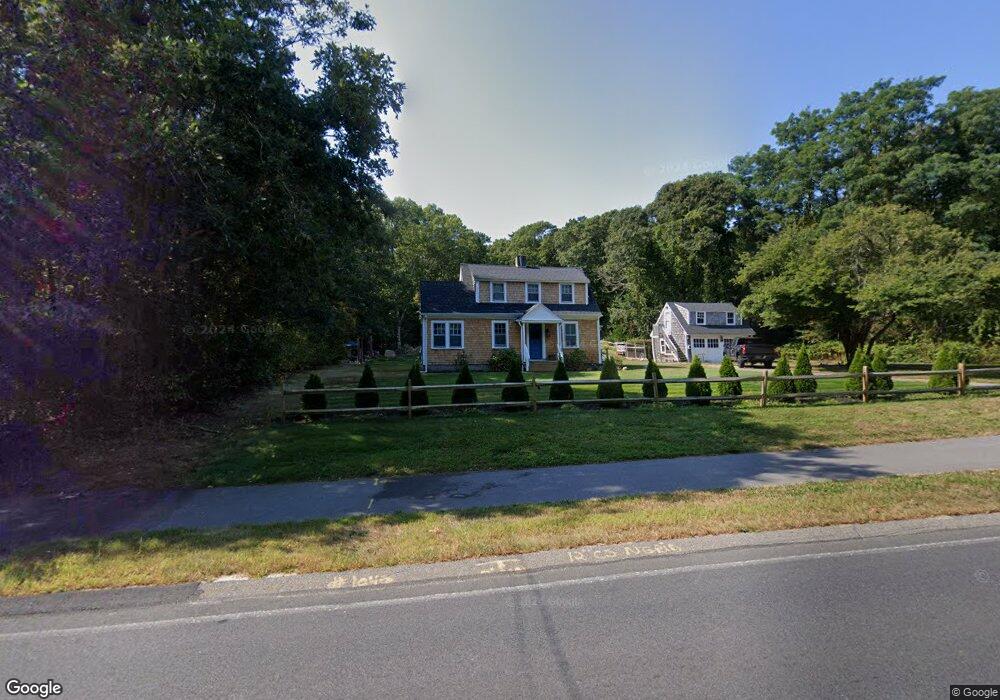
1049 Service Rd West Barnstable, MA 02668
West Barnstable NeighborhoodEstimated Value: $468,000 - $595,000
2
Beds
2
Baths
920
Sq Ft
$568/Sq Ft
Est. Value
About This Home
This home is located at 1049 Service Rd, West Barnstable, MA 02668 and is currently estimated at $522,406, approximately $567 per square foot. 1049 Service Rd is a home located in Barnstable County with nearby schools including West Barnstable Elementary School, Barnstable United Elementary School, and Barnstable Intermediate School.
Ownership History
Date
Name
Owned For
Owner Type
Purchase Details
Closed on
Jul 23, 2021
Sold by
Ranta-Still Donna L
Bought by
Still Meaghan E and Shea Riley P
Current Estimated Value
Purchase Details
Closed on
Nov 5, 2010
Sold by
Ranta David L
Bought by
Ranta Donna L and Ranta Robert E
Purchase Details
Closed on
Sep 19, 2006
Sold by
Ranta Helen C
Bought by
Helen C Ranta T C and Helen Ranta
Create a Home Valuation Report for This Property
The Home Valuation Report is an in-depth analysis detailing your home's value as well as a comparison with similar homes in the area
Home Values in the Area
Average Home Value in this Area
Purchase History
| Date | Buyer | Sale Price | Title Company |
|---|---|---|---|
| Still Meaghan E | -- | None Available | |
| Ranta Donna L | -- | -- | |
| Helen C Ranta T C | -- | -- |
Source: Public Records
Tax History Compared to Growth
Tax History
| Year | Tax Paid | Tax Assessment Tax Assessment Total Assessment is a certain percentage of the fair market value that is determined by local assessors to be the total taxable value of land and additions on the property. | Land | Improvement |
|---|---|---|---|---|
| 2025 | $3,709 | $397,100 | $179,400 | $217,700 |
| 2024 | $3,424 | $399,100 | $179,400 | $219,700 |
| 2023 | $3,202 | $351,500 | $163,400 | $188,100 |
| 2022 | $3,100 | $279,000 | $121,900 | $157,100 |
| 2021 | $2,975 | $253,800 | $121,900 | $131,900 |
| 2020 | $3,012 | $248,500 | $130,600 | $117,900 |
| 2019 | $2,961 | $241,100 | $130,600 | $110,500 |
| 2018 | $2,813 | $227,000 | $137,400 | $89,600 |
| 2017 | $2,749 | $224,600 | $137,400 | $87,200 |
| 2016 | $2,697 | $224,900 | $137,700 | $87,200 |
| 2015 | $2,780 | $232,400 | $132,000 | $100,400 |
Source: Public Records
Map
Nearby Homes
- 329 Woodside Rd
- 650 Parker Ln
- 50 Currycomb Cir
- 2400 Meetinghouse Way
- 74 Saddler Ln
- 2414 Meetinghouse Way
- 282 Parker Rd
- 28 Appaloosa Way
- 339 Cedar St
- 40 Appaloosa Way
- 61 Branch Terrace
- 134 Great Hill Dr
- 780 Main St
- 515 Cedar St
- 1044 Old Falmouth Rd
- 350 & 360 Plum St
- 75 Old Toll Rd
- 56 Allan Rd
- 9 Locust Ave
- 120 Berkshire Trail
- 1039 Service Rd
- 1025 Service Rd
- 2 Sandy St
- 1051 Service Rd
- 981 Service Rd
- 35 Ranta Cir
- 55 Ranta Cir
- 1065 Service Rd
- 21 The Plains Rd N
- 1095 Service Rd
- 47 The Plains Rd N
- 9 Pine St
- 153 White Birch Way
- 59 Church St
- 1125 Service Rd
- 151 White Birch Way
- 45 Church St
- 159 The Plains Rd N
- 1685 Osterville West Barnstabl
- 60 Ranta Cir