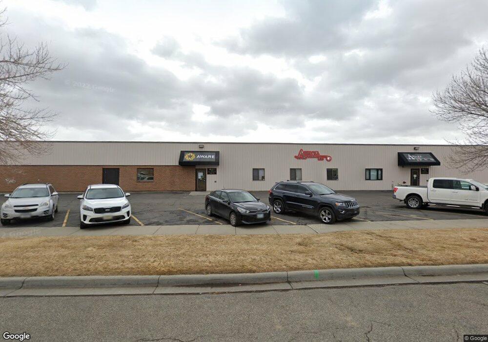
1050 S 25th St W Billings, MT 59102
West End Neighborhood
--
Bed
--
Bath
7,780
Sq Ft
1.3
Acres
About This Home
This home is located at 1050 S 25th St W, Billings, MT 59102. 1050 S 25th St W is a home located in Yellowstone County with nearby schools including Elysian Elementary School, Elysian School, and Billings West High School.
Ownership History
Date
Name
Owned For
Owner Type
Purchase Details
Closed on
Dec 30, 2009
Sold by
K & K Investments Llc
Bought by
Aware Inc
Home Financials for this Owner
Home Financials are based on the most recent Mortgage that was taken out on this home.
Original Mortgage
$1,320,500
Outstanding Balance
$859,474
Interest Rate
4.78%
Mortgage Type
Commercial
Purchase Details
Closed on
Feb 10, 2005
Sold by
King Floyd R and King Kay R
Bought by
K & K Investments Llc
Purchase Details
Closed on
Jan 14, 2005
Sold by
M P Graham Llc
Bought by
King Floyd R and King Kay R
Create a Home Valuation Report for This Property
The Home Valuation Report is an in-depth analysis detailing your home's value as well as a comparison with similar homes in the area
Home Values in the Area
Average Home Value in this Area
Purchase History
| Date | Buyer | Sale Price | Title Company |
|---|---|---|---|
| Aware Inc | -- | None Available | |
| K & K Investments Llc | -- | None Available | |
| King Floyd R | -- | None Available |
Source: Public Records
Mortgage History
| Date | Status | Borrower | Loan Amount |
|---|---|---|---|
| Open | Aware Inc | $1,320,500 |
Source: Public Records
Tax History Compared to Growth
Tax History
| Year | Tax Paid | Tax Assessment Tax Assessment Total Assessment is a certain percentage of the fair market value that is determined by local assessors to be the total taxable value of land and additions on the property. | Land | Improvement |
|---|---|---|---|---|
| 2025 | $1,810 | $3,117,100 | $535,004 | $2,582,096 |
| 2024 | $1,810 | $2,956,200 | $411,318 | $2,544,882 |
| 2023 | $2,483 | $2,956,200 | $411,318 | $2,544,882 |
| 2022 | $2,331 | $2,899,100 | $0 | $0 |
| 2021 | $2,317 | $2,899,100 | $0 | $0 |
| 2020 | $2,253 | $2,767,300 | $0 | $0 |
| 2019 | $2,209 | $2,767,300 | $0 | $0 |
| 2018 | $2,144 | $2,710,600 | $0 | $0 |
| 2017 | $2,081 | $2,710,600 | $0 | $0 |
| 2016 | $8,385 | $2,473,500 | $0 | $0 |
| 2015 | $8,166 | $2,473,500 | $0 | $0 |
| 2014 | $7,372 | $1,549,285 | $0 | $0 |
Source: Public Records
Map
Nearby Homes
- 2225 Rosebud Dr
- 46 Vista Dr
- 44 Vista Dr
- 669 S 22nd St W
- 14 Bonanza Dr
- 43 Roundup Dr
- 1 Bonanza Dr
- 6152 Northstead Ave
- 6114 Northstead Ave
- 6170 Elysian Rd Unit 103-203
- 28 Gatewood Dr
- 33 Wheatland Dr
- 31 Wheatland Dr
- 2916 Monad Rd
- 4 W Meadow Dr
- 362 Phyllis Cir E
- 7 W Meadows
- 36 Brookpark Dr
- 24 Willow Bend Dr S
- 14 Wild Oak Dr
- 2596 Enterprise Ave
- 2601 Overland Ave Suite 2 (Lease Only)
- 2601 Overland Ave Suite 1 (Lease Only)
- 2601 Overland Ave
- 2484 Overland Ave
- 2621 Overland Ave
- 2621 Overland Ave
- 2448 Enterprise
- 2625 Overland Ave
- 2625 Overland Ave
- 2625 Overland Ave
- 2625 Overland Ave
- 1175 25th Street Lease
- 2675 Overland Ave
- 2675 Overland Ave
- 2675 Overland Ave
- 2675 Overland Ave
- 2675 Overland Ave
- 2697 Enterprise #B (Lease)
- 2697 Enterprises #B (Lease)