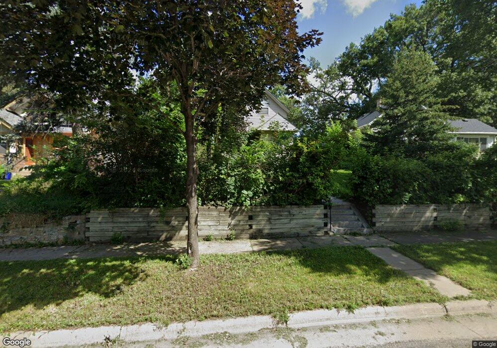
1055 Burgess St Saint Paul, MN 55103
Como Park NeighborhoodEstimated Value: $302,421 - $332,000
3
Beds
2
Baths
1,720
Sq Ft
$184/Sq Ft
Est. Value
About This Home
This home is located at 1055 Burgess St, Saint Paul, MN 55103 and is currently estimated at $316,605, approximately $184 per square foot. 1055 Burgess St is a home located in Ramsey County with nearby schools including Como Park Elementary School, Murray Middle School, and Como Park Senior High School.
Ownership History
Date
Name
Owned For
Owner Type
Purchase Details
Closed on
Aug 14, 2020
Sold by
Jaques Douglas L and Jaques Christine K
Bought by
Hanson Jeffrey
Current Estimated Value
Home Financials for this Owner
Home Financials are based on the most recent Mortgage that was taken out on this home.
Original Mortgage
$253,326
Outstanding Balance
$223,876
Interest Rate
2.8%
Mortgage Type
FHA
Estimated Equity
$92,729
Purchase Details
Closed on
Jul 24, 2014
Sold by
Hook Arlin T
Bought by
Jaques Douglas L and Jaques Christine K
Create a Home Valuation Report for This Property
The Home Valuation Report is an in-depth analysis detailing your home's value as well as a comparison with similar homes in the area
Home Values in the Area
Average Home Value in this Area
Purchase History
| Date | Buyer | Sale Price | Title Company |
|---|---|---|---|
| Hanson Jeffrey | $258,000 | Land Title Inc | |
| Jaques Douglas L | $170,000 | Land Title Inc |
Source: Public Records
Mortgage History
| Date | Status | Borrower | Loan Amount |
|---|---|---|---|
| Open | Hanson Jeffrey | $253,326 |
Source: Public Records
Tax History Compared to Growth
Tax History
| Year | Tax Paid | Tax Assessment Tax Assessment Total Assessment is a certain percentage of the fair market value that is determined by local assessors to be the total taxable value of land and additions on the property. | Land | Improvement |
|---|---|---|---|---|
| 2025 | $4,128 | $291,200 | $42,400 | $248,800 |
| 2023 | $4,128 | $267,000 | $42,400 | $224,600 |
| 2022 | $3,674 | $255,800 | $42,400 | $213,400 |
| 2021 | $3,324 | $229,200 | $42,400 | $186,800 |
| 2020 | $3,300 | $225,300 | $42,400 | $182,900 |
| 2019 | $3,142 | $210,200 | $42,400 | $167,800 |
| 2018 | $2,824 | $198,900 | $42,400 | $156,500 |
| 2017 | $2,378 | $186,600 | $33,900 | $152,700 |
| 2016 | $2,390 | $0 | $0 | $0 |
| 2015 | $2,036 | $162,600 | $33,900 | $128,700 |
| 2014 | $2,094 | $0 | $0 | $0 |
Source: Public Records
Map
Nearby Homes
- 951 Front Ave
- 1039 Argyle St
- 1056 Lexington Pkwy N
- 895 Front Ave
- 1030 Englewood Ave
- 1083 Chatsworth St N
- 1094 Argyle St
- 999 Minnehaha Ave W
- 1125 Argyle St
- 1084 Ryde St
- 989 Barrett St
- 687 Lexington Pkwy N
- 1282 Hewitt Ave
- 1174 Lexington Pkwy N
- 1294 Hubbard Ave
- 1372 Carling Dr Unit 208
- 1174 Lafond Ave
- 1215 Lafond Ave
- 1377 Hewitt Ave
- 1258 Blair Ave
- 1051 Burgess St
- 1059 Burgess St
- 1043 Burgess St
- xxx Burgess St
- xxxx Burgess St
- 1054 Stinson St
- 1056 Stinson St
- 1046 Stinson St
- 1075 Burgess St
- 1064 Stinson St
- 1056 Burgess St
- 1040 Stinson St
- 1066 Stinson St
- 1048 Burgess St
- 1079 Burgess St
- 1046 Burgess St
- xxxxx Burgess St
- 1074 Stinson St
- 906 Oxford St N
- 1070 Burgess St