10558 Roxborough Dr Unit 1 Littleton, CO 80125
Estimated Value: $572,520 - $635,000
4
Beds
3
Baths
2,696
Sq Ft
$223/Sq Ft
Est. Value
About This Home
This home is located at 10558 Roxborough Dr Unit 1, Littleton, CO 80125 and is currently estimated at $601,880, approximately $223 per square foot. 10558 Roxborough Dr Unit 1 is a home located in Douglas County with nearby schools including Roxborough Elementary School, Roxborough Intermediate School, and Ranch View Middle School.
Ownership History
Date
Name
Owned For
Owner Type
Purchase Details
Closed on
Jun 20, 2018
Sold by
Betz George P
Bought by
Betz George P and Betz Tara L
Current Estimated Value
Home Financials for this Owner
Home Financials are based on the most recent Mortgage that was taken out on this home.
Original Mortgage
$209,000
Outstanding Balance
$181,155
Interest Rate
4.6%
Mortgage Type
New Conventional
Estimated Equity
$420,725
Purchase Details
Closed on
Jun 18, 2010
Sold by
Fannie Mae
Bought by
Betz George P
Home Financials for this Owner
Home Financials are based on the most recent Mortgage that was taken out on this home.
Original Mortgage
$182,780
Interest Rate
4.87%
Mortgage Type
New Conventional
Purchase Details
Closed on
Jan 5, 2010
Sold by
Perello Alfred R
Bought by
Federal National Mortgage Association
Purchase Details
Closed on
Apr 28, 2003
Sold by
Wells Fargo Bank Minnesota Na
Bought by
Perello Alfred R
Home Financials for this Owner
Home Financials are based on the most recent Mortgage that was taken out on this home.
Original Mortgage
$176,000
Interest Rate
4.5%
Mortgage Type
Unknown
Purchase Details
Closed on
Nov 27, 2002
Sold by
Jones Ii James G
Bought by
Holders Of Option One Mtg Loan Trust 200
Purchase Details
Closed on
Sep 28, 2000
Sold by
Unlimited Opportunity Investments Llc
Bought by
Jones Ii James G
Home Financials for this Owner
Home Financials are based on the most recent Mortgage that was taken out on this home.
Original Mortgage
$200,000
Interest Rate
11.78%
Mortgage Type
Unknown
Create a Home Valuation Report for This Property
The Home Valuation Report is an in-depth analysis detailing your home's value as well as a comparison with similar homes in the area
Home Values in the Area
Average Home Value in this Area
Purchase History
| Date | Buyer | Sale Price | Title Company |
|---|---|---|---|
| Betz George P | -- | First Integrity Title | |
| Betz George P | $192,400 | None Available | |
| Federal National Mortgage Association | $231,013 | None Available | |
| Perello Alfred R | $220,000 | -- | |
| Holders Of Option One Mtg Loan Trust 200 | $189,054 | -- | |
| Jones Ii James G | $310,000 | Land Title Guarantee Company | |
| Unlimited Opportunity Investments Llc | -- | Land Title Guarantee Company |
Source: Public Records
Mortgage History
| Date | Status | Borrower | Loan Amount |
|---|---|---|---|
| Open | Betz George P | $209,000 | |
| Closed | Betz George P | $182,780 | |
| Previous Owner | Perello Alfred R | $176,000 | |
| Previous Owner | Jones Ii James G | $200,000 |
Source: Public Records
Tax History Compared to Growth
Tax History
| Year | Tax Paid | Tax Assessment Tax Assessment Total Assessment is a certain percentage of the fair market value that is determined by local assessors to be the total taxable value of land and additions on the property. | Land | Improvement |
|---|---|---|---|---|
| 2024 | $3,053 | $36,710 | -- | $36,710 |
| 2023 | $3,076 | $36,710 | $0 | $36,710 |
| 2022 | $2,526 | $27,310 | $0 | $27,310 |
| 2021 | $2,645 | $27,310 | $0 | $27,310 |
| 2020 | $2,557 | $27,020 | $2,230 | $24,790 |
| 2019 | $2,571 | $27,020 | $2,230 | $24,790 |
| 2018 | $2,299 | $23,430 | $2,250 | $21,180 |
| 2017 | $2,162 | $23,430 | $2,250 | $21,180 |
| 2016 | $1,324 | $14,070 | $2,490 | $11,580 |
| 2015 | $1,352 | $14,070 | $2,490 | $11,580 |
| 2014 | $1,427 | $13,700 | $2,490 | $11,210 |
Source: Public Records
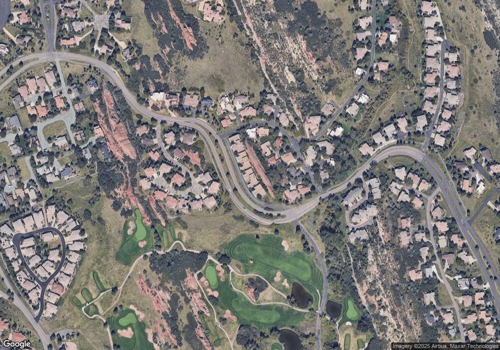
Map
Nearby Homes
- 10506 Brown Fox Trail
- 6842 Raspberry Run
- 6753 Big Horn Trail
- 6874 Raspberry Run
- 7188 Raphael Ln
- 7208 Raphael Ln
- 6480 Willow Broom Trail
- 10991 Expedition
- 6948 Buckskin Dr
- 6958 Buckskin Dr
- 6835 Surrey Trail
- 6424 Willow Broom Trail
- 6945 Fargo Trail
- 6941 Fargo Trail
- 6945 N Fargo Trail
- 6324 Willow Broom Trail
- 7191 Red Mesa Dr
- 7217 Red Mesa Ct
- 6950 Blue Mesa Ln
- 6930 Blue Mesa Ln
- 10556 Roxborough Dr
- 10556 Roxborough Dr Unit 2
- 10556 Roxborough Dr Unit 32
- 10574 Roxborough Dr Unit 3
- 10554 Roxborough Dr Unit 3
- 10536 Roxborough Dr Unit 1
- 10578 Roxborough Dr Unit 1
- 10534 Roxborough Dr Unit 2
- 10534 Roxborough Dr Unit 42
- 10576 Roxborough Dr Unit 2
- 10556 Brown Fox Trail
- 10594 Roxborough Dr Unit 3
- 10566 Brown Fox Trail
- 10596 Roxborough Dr Unit 2
- 6920 Fairway Vistas Rd
- 10598 Roxborough Dr
- 10598 Roxborough Dr Unit 1
- 10598 Roxborough Dr Unit 11
- 10616 Brown Fox Trail
- 10546 Brown Fox Trail