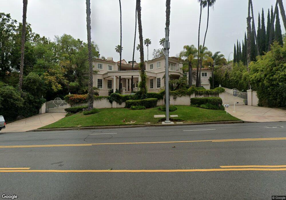
10561 W Sunset Blvd Los Angeles, CA 90077
Bel Air NeighborhoodEstimated Value: $6,488,000 - $11,604,913
4
Beds
6
Baths
8,459
Sq Ft
$1,034/Sq Ft
Est. Value
About This Home
This home is located at 10561 W Sunset Blvd, Los Angeles, CA 90077 and is currently estimated at $8,743,971, approximately $1,033 per square foot. 10561 W Sunset Blvd is a home located in Los Angeles County with nearby schools including Warner Avenue Elementary, Ralph Waldo Emerson Community Charter Middle School, and University High School Charter.
Ownership History
Date
Name
Owned For
Owner Type
Purchase Details
Closed on
Feb 24, 1995
Sold by
Federal Deposit Insurance Corporation
Bought by
Messinger Dominic and Messinger Marjan
Current Estimated Value
Home Financials for this Owner
Home Financials are based on the most recent Mortgage that was taken out on this home.
Original Mortgage
$1,416,000
Interest Rate
9.23%
Purchase Details
Closed on
Mar 1, 1994
Sold by
T D Service Company
Bought by
Federal Deposit Insurance Corporation
Create a Home Valuation Report for This Property
The Home Valuation Report is an in-depth analysis detailing your home's value as well as a comparison with similar homes in the area
Home Values in the Area
Average Home Value in this Area
Purchase History
| Date | Buyer | Sale Price | Title Company |
|---|---|---|---|
| Messinger Dominic | $1,900,000 | Stewart Title | |
| Federal Deposit Insurance Corporation | $1,885,800 | Stewart Title |
Source: Public Records
Mortgage History
| Date | Status | Borrower | Loan Amount |
|---|---|---|---|
| Closed | Messinger Dominic | $1,416,000 |
Source: Public Records
Tax History Compared to Growth
Tax History
| Year | Tax Paid | Tax Assessment Tax Assessment Total Assessment is a certain percentage of the fair market value that is determined by local assessors to be the total taxable value of land and additions on the property. | Land | Improvement |
|---|---|---|---|---|
| 2025 | $38,524 | $3,171,304 | $1,271,878 | $1,899,426 |
| 2024 | $38,524 | $3,109,123 | $1,246,940 | $1,862,183 |
| 2023 | $37,788 | $3,048,161 | $1,222,491 | $1,825,670 |
| 2022 | $36,074 | $2,988,394 | $1,198,521 | $1,789,873 |
| 2021 | $35,608 | $2,929,799 | $1,175,021 | $1,754,778 |
| 2019 | $34,483 | $2,842,901 | $1,140,170 | $1,702,731 |
| 2018 | $34,244 | $2,787,159 | $1,117,814 | $1,669,345 |
| 2017 | $1 | $2,732,510 | $1,095,897 | $1,636,613 |
| 2016 | $32,676 | $2,678,932 | $1,074,409 | $1,604,523 |
| 2015 | $32,200 | $2,638,693 | $1,058,271 | $1,580,422 |
| 2014 | $32,297 | $2,587,005 | $1,037,541 | $1,549,464 |
Source: Public Records
Map
Nearby Homes
- 10644 Bellagio Rd
- 10444 Charing Cross Rd
- 365 Norcroft Ave
- 365 Comstock Ave
- 101 Bel Air Rd
- 607 Siena Way
- 332 Bel Air Rd
- 642 Siena Way
- 235 St Pierre Rd
- 616 Perugia Way
- 259 St Pierre Rd
- 453 Dalehurst Ave
- 642 Perugia Way
- 133 S Mapleton Dr
- 729 Bel Air Rd
- 10810 Ambazac Way
- 112 N Beverly Glen Blvd
- 200 S Mapleton Dr
- 10820 Ambazac Way
- 10790 Bellagio Rd
- 10547 W Sunset Blvd
- 120 Stone Canyon Rd
- 110 Stone Canyon Rd
- 237 Strada Corta Rd
- 10539 W Sunset Blvd
- 245 Strada Corta Rd
- 223 Strada Corta Rd
- 129 Stone Canyon Rd
- 230 Strada Corta Rd
- 111 Stone Canyon Rd
- 215 Strada Corta Rd
- 265 Strada Corta Rd
- 205 Strada Corta Rd
- 295 Strada Corta Rd
- 124 Udine Way
- 101 Copa de Oro Rd
- 120 Udine Way
- 125 Copa de Oro Rd
- 133 Udine Way
- 209 Copa de Oro Rd