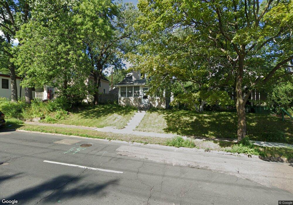
1063 1063 Dale St N St. Paul, MN 55117
Como Park NeighborhoodEstimated Value: $206,000 - $227,000
2
Beds
1
Bath
840
Sq Ft
$253/Sq Ft
Est. Value
About This Home
This home is located at 1063 1063 Dale St N, St. Paul, MN 55117 and is currently estimated at $212,644, approximately $253 per square foot. 1063 1063 Dale St N is a home located in Ramsey County with nearby schools including Como Park Elementary School, Murray Middle School, and Como Park Senior High School.
Ownership History
Date
Name
Owned For
Owner Type
Purchase Details
Closed on
Dec 7, 2015
Sold by
Ferris Christanne M and Ferris Bradley A
Bought by
Dominguez Louis A
Current Estimated Value
Home Financials for this Owner
Home Financials are based on the most recent Mortgage that was taken out on this home.
Original Mortgage
$118,691
Outstanding Balance
$94,145
Interest Rate
3.96%
Mortgage Type
Unknown
Estimated Equity
$118,499
Purchase Details
Closed on
Jul 28, 2011
Sold by
Federal Home Loan Mortgage Corporation
Bought by
Ferris Christanne M and Ferris Bradly
Purchase Details
Closed on
Aug 14, 2003
Sold by
Weller Nancy L
Bought by
Vo San T and Nguyen Dung
Create a Home Valuation Report for This Property
The Home Valuation Report is an in-depth analysis detailing your home's value as well as a comparison with similar homes in the area
Home Values in the Area
Average Home Value in this Area
Purchase History
| Date | Buyer | Sale Price | Title Company |
|---|---|---|---|
| Dominguez Louis A | $114,900 | Edina Realty Title Inc | |
| Ferris Christanne M | $22,250 | -- | |
| Vo San T | $93,000 | -- |
Source: Public Records
Mortgage History
| Date | Status | Borrower | Loan Amount |
|---|---|---|---|
| Open | Dominguez Louis A | $118,691 |
Source: Public Records
Tax History Compared to Growth
Tax History
| Year | Tax Paid | Tax Assessment Tax Assessment Total Assessment is a certain percentage of the fair market value that is determined by local assessors to be the total taxable value of land and additions on the property. | Land | Improvement |
|---|---|---|---|---|
| 2025 | $3,198 | $199,300 | $30,300 | $169,000 |
| 2023 | $3,198 | $196,600 | $30,300 | $166,300 |
| 2022 | $3,064 | $193,600 | $30,400 | $163,200 |
| 2021 | $2,508 | $166,400 | $30,400 | $136,000 |
| 2020 | $3,210 | $152,800 | $30,400 | $122,400 |
| 2019 | $3,094 | $152,400 | $30,400 | $122,000 |
| 2018 | $2,078 | $163,900 | $30,400 | $133,500 |
| 2017 | $1,698 | $136,600 | $24,300 | $112,300 |
| 2016 | $1,980 | $0 | $0 | $0 |
| 2015 | $1,928 | $99,400 | $24,300 | $75,100 |
| 2014 | $2,194 | $0 | $0 | $0 |
Source: Public Records
Map
Nearby Homes
- 1063 Dale St N
- 1049 Kent St
- 705 Como Ave
- 569 Hatch Ave
- 352 Como Ave
- 740 Como Ave
- 1104 MacKubin St
- 1241 Maywood St
- 1165 Norton St
- 552 Burgess St
- 766 Maryland Ave W
- 1176 Norton St
- 1175 Arundel St
- 989 Barrett St
- 1040 Cumberland St
- 1005 Como Blvd E
- tbd MacKubin St
- 1083 Western Ave N
- 1300 Schletti St
- 1038 Colne St
- 1059 Dale St N
- 1067 Dale St N
- 1071 Dale St N
- 1071 1071 Dale St N
- 1055 Dale St N
- 1053 Dale St N
- 1075 Dale St N
- 697 Edgar Ave
- 628 Jessamine Ave W
- 636 Jessamine Ave W
- 684 Edgar Ave
- 688 Edgar Ave
- 680 Edgar Ave
- 1058 Dale St N
- 703 Edgar Ave
- 692 Edgar Ave
- 1037 Dale St N
- 1052 1052 Dale St N
- 1052 Dale St N
- 1070 Dale St N