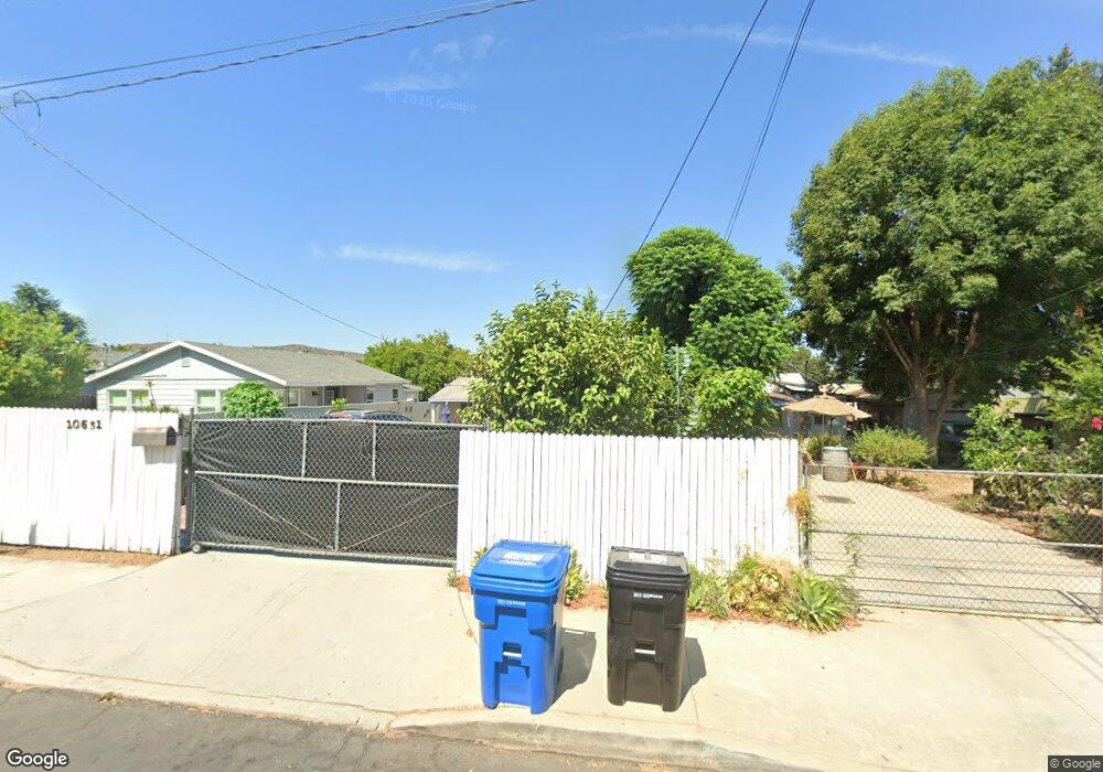
10631 Nassau Ave Sunland, CA 91040
Sunland NeighborhoodEstimated Value: $673,000 - $710,553
2
Beds
1
Bath
967
Sq Ft
$713/Sq Ft
Est. Value
About This Home
This home is located at 10631 Nassau Ave, Sunland, CA 91040 and is currently estimated at $689,888, approximately $713 per square foot. 10631 Nassau Ave is a home located in Los Angeles County with nearby schools including Sunland Elementary School, Mt. Gleason Middle School, and Verdugo Hills Senior High School.
Ownership History
Date
Name
Owned For
Owner Type
Purchase Details
Closed on
Mar 8, 2022
Sold by
Antonia Gomez
Bought by
Hernandez Joaquin Antonio and Cordova Silvia Yanira
Current Estimated Value
Purchase Details
Closed on
Feb 25, 2022
Sold by
Antonia Gomez
Bought by
Hernandez Joaquin Antonio and Cordova Silvia Yanira
Purchase Details
Closed on
Mar 18, 2011
Sold by
Gomez Antonia
Bought by
Gomez Antonia and Gomez Amilcar
Purchase Details
Closed on
Feb 25, 1998
Sold by
Gomez Antonia
Bought by
Gomez Antonio and Gomez Amilcar
Create a Home Valuation Report for This Property
The Home Valuation Report is an in-depth analysis detailing your home's value as well as a comparison with similar homes in the area
Home Values in the Area
Average Home Value in this Area
Purchase History
| Date | Buyer | Sale Price | Title Company |
|---|---|---|---|
| Hernandez Joaquin Antonio | -- | None Listed On Document | |
| Hernandez Joaquin Antonio | -- | None Listed On Document | |
| Gomez Antonia | -- | None Available | |
| Gomez Antonio | -- | -- |
Source: Public Records
Tax History Compared to Growth
Tax History
| Year | Tax Paid | Tax Assessment Tax Assessment Total Assessment is a certain percentage of the fair market value that is determined by local assessors to be the total taxable value of land and additions on the property. | Land | Improvement |
|---|---|---|---|---|
| 2025 | $6,486 | $533,690 | $386,123 | $147,567 |
| 2024 | $6,486 | $523,226 | $378,552 | $144,674 |
| 2023 | $6,278 | $512,968 | $371,130 | $141,838 |
| 2022 | $3,611 | $292,308 | $246,687 | $45,621 |
| 2021 | $2,993 | $237,933 | $209,226 | $28,707 |
| 2019 | $2,905 | $230,877 | $203,021 | $27,856 |
| 2018 | $2,833 | $226,351 | $199,041 | $27,310 |
| 2016 | $2,701 | $217,563 | $191,313 | $26,250 |
| 2015 | $2,662 | $214,296 | $188,440 | $25,856 |
| 2014 | $2,679 | $210,099 | $184,749 | $25,350 |
Source: Public Records
Map
Nearby Homes
- 8230 Hillrose St
- 10430 Mcvine Ave
- 10429 Mcvine Ave
- 10623 Woodward Ave
- 10415 Mcvine Ave Unit 2
- 10704 Oro Vista Ave
- 8421 Grenoble St
- 8352 Wyngate St
- 7851 Fenwick St
- 10335 Oro Vista Ave
- 7961 Apperson St
- 10414 Whitegate Ave
- 10529 Mount Gleason Ave
- 7848 Forsythe St
- 10250 Quill Ave
- 10404 Jardine Ave
- 7961 Day St
- 8110 Brownstone St
- 10300 Whitegate Ave
- 10711 Sherman Grove Ave Unit 26
- 10627 Nassau Ave
- 10639 Nassau Ave
- 10623 Nassau Ave
- 10643 Nassau Ave
- 10630 Mcvine Ave
- 10626 Mcvine Ave
- 10634 Mcvine Ave
- 10622 Mcvine Ave
- 10638 Mcvine Ave
- 10630 Nassau Ave
- 10636 Nassau Ave
- 10626 Nassau Ave
- 10647 Nassau Ave
- 10618 Mcvine Ave
- 10638 Nassau Ave
- 10622 Nassau Ave
- 10646 Mcvine Ave
- 10642 Nassau Ave
- 10616 Nassau Ave
- 10651 Nassau Ave