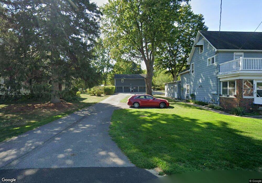
10635 Boyd Dr Clarence, NY 14031
Estimated Value: $380,000 - $409,000
4
Beds
3
Baths
3,140
Sq Ft
$126/Sq Ft
Est. Value
About This Home
This home is located at 10635 Boyd Dr, Clarence, NY 14031 and is currently estimated at $395,451, approximately $125 per square foot. 10635 Boyd Dr is a home located in Erie County with nearby schools including Harris Hill Elementary School, Clarence Middle School, and Clarence Senior High School.
Ownership History
Date
Name
Owned For
Owner Type
Purchase Details
Closed on
Jun 1, 2023
Sold by
Honsberger David R and Honsberger Joseph R
Bought by
Honsberger David R
Current Estimated Value
Purchase Details
Closed on
Aug 16, 2003
Sold by
Lavocat Anne M and Muck Donald A
Bought by
Honsberger Robert D
Home Financials for this Owner
Home Financials are based on the most recent Mortgage that was taken out on this home.
Original Mortgage
$133,941
Outstanding Balance
$61,549
Interest Rate
6.22%
Mortgage Type
FHA
Estimated Equity
$333,902
Create a Home Valuation Report for This Property
The Home Valuation Report is an in-depth analysis detailing your home's value as well as a comparison with similar homes in the area
Home Values in the Area
Average Home Value in this Area
Purchase History
| Date | Buyer | Sale Price | Title Company |
|---|---|---|---|
| Honsberger David R | -- | None Available | |
| Honsberger Robert D | $135,000 | -- |
Source: Public Records
Mortgage History
| Date | Status | Borrower | Loan Amount |
|---|---|---|---|
| Open | Honsberger Robert D | $133,941 |
Source: Public Records
Tax History Compared to Growth
Tax History
| Year | Tax Paid | Tax Assessment Tax Assessment Total Assessment is a certain percentage of the fair market value that is determined by local assessors to be the total taxable value of land and additions on the property. | Land | Improvement |
|---|---|---|---|---|
| 2024 | -- | $317,000 | $55,000 | $262,000 |
| 2023 | $6,412 | $255,000 | $55,000 | $200,000 |
| 2022 | $6,331 | $255,000 | $55,000 | $200,000 |
| 2021 | $6,311 | $255,000 | $55,000 | $200,000 |
| 2020 | $5,827 | $230,000 | $35,000 | $195,000 |
| 2019 | $5,378 | $230,000 | $35,000 | $195,000 |
| 2018 | $5,711 | $230,000 | $35,000 | $195,000 |
| 2017 | $2,847 | $205,000 | $35,000 | $170,000 |
| 2016 | $5,375 | $205,000 | $35,000 | $170,000 |
| 2015 | -- | $205,000 | $35,000 | $170,000 |
| 2014 | -- | $173,000 | $35,000 | $138,000 |
Source: Public Records
Map
Nearby Homes
- 5201 Kandefer's Trail
- v/l Sorellina Ln S
- 4619 Pine Manor
- 4535 Ransom Rd
- 6265 Salt Rd
- 5095 Salt Rd
- 10912 Main St
- 4765 Shisler Rd
- 4505 Timberlake Dr
- 4883 Winding Ln
- 4455 Shisler Rd
- 0 Jones Rd Unit B1637455
- 4100 Ransom Rd
- 11310 Stage Rd
- 10121 Greiner Rd
- 9808 Tottenham Ave
- 5140 Kraus Rd
- 9875 Hollingson Rd
- 9800 Hollingson Rd
- 9678 Cobblestone Dr