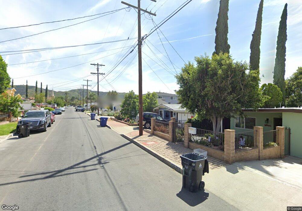
10639 Leolang Ave Sunland, CA 91040
Sunland NeighborhoodEstimated Value: $1,038,000 - $1,350,000
3
Beds
3
Baths
2,080
Sq Ft
$561/Sq Ft
Est. Value
About This Home
This home is located at 10639 Leolang Ave, Sunland, CA 91040 and is currently estimated at $1,167,377, approximately $561 per square foot. 10639 Leolang Ave is a home located in Los Angeles County with nearby schools including Mt. Gleason Middle School, Verdugo Hills Senior High School, and Plainview Academic Charter Academy.
Ownership History
Date
Name
Owned For
Owner Type
Purchase Details
Closed on
Dec 10, 2020
Sold by
Eskandari Varough and Markaria Rozik
Bought by
Danielyan Ashot
Current Estimated Value
Home Financials for this Owner
Home Financials are based on the most recent Mortgage that was taken out on this home.
Original Mortgage
$689,500
Outstanding Balance
$614,955
Interest Rate
2.8%
Mortgage Type
New Conventional
Estimated Equity
$552,422
Purchase Details
Closed on
Jul 27, 2011
Sold by
Gaydos Andrew and Gaydos Cheryl Lynne
Bought by
Eskandari Varoush and Markarian Rozik
Create a Home Valuation Report for This Property
The Home Valuation Report is an in-depth analysis detailing your home's value as well as a comparison with similar homes in the area
Home Values in the Area
Average Home Value in this Area
Purchase History
| Date | Buyer | Sale Price | Title Company |
|---|---|---|---|
| Danielyan Ashot | $875,000 | Old Republic Title Co | |
| Eskandari Varoush | $425,000 | Lawyers Title |
Source: Public Records
Mortgage History
| Date | Status | Borrower | Loan Amount |
|---|---|---|---|
| Open | Danielyan Ashot | $689,500 |
Source: Public Records
Tax History Compared to Growth
Tax History
| Year | Tax Paid | Tax Assessment Tax Assessment Total Assessment is a certain percentage of the fair market value that is determined by local assessors to be the total taxable value of land and additions on the property. | Land | Improvement |
|---|---|---|---|---|
| 2025 | $11,397 | $947,125 | $640,148 | $306,977 |
| 2024 | $11,397 | $928,555 | $627,597 | $300,958 |
| 2023 | $11,176 | $910,349 | $615,292 | $295,057 |
| 2022 | $10,656 | $892,500 | $603,228 | $289,272 |
| 2021 | $10,602 | $875,000 | $591,400 | $283,600 |
| 2020 | $6,836 | $543,350 | $207,760 | $335,590 |
| 2019 | $6,571 | $532,697 | $203,687 | $329,010 |
| 2018 | $6,447 | $522,253 | $199,694 | $322,559 |
| 2016 | $6,149 | $501,976 | $191,941 | $310,035 |
| 2015 | $6,060 | $494,436 | $189,058 | $305,378 |
| 2014 | $6,085 | $484,752 | $185,355 | $299,397 |
Source: Public Records
Map
Nearby Homes
- 10623 Woodward Ave
- 7851 Fenwick St
- 7860 Fenwick St
- 10529 Mount Gleason Ave
- 7848 Forsythe St
- 10855 Woodward Ave
- 10530 Mcvine Ave
- 10414 Whitegate Ave
- 7755 Forsythe St
- 8230 Hillrose St
- 10404 Jardine Ave
- 10430 Mcvine Ave
- 10831 Odell Ave
- 10415 Mcvine Ave Unit 2
- 10300 Whitegate Ave
- 8110 Brownstone St
- 10949 Mcvine Ave
- 7961 Day St
- 10704 Oro Vista Ave
- 10338 Scoville Ave
- 10643 Leolang Ave
- 10637 Leolang Ave
- 10647 Leolang Ave
- 10635 Leolang Ave
- 10651 Leolang Ave
- 10638 Woodward Ave
- 10634 Woodward Ave
- 10642 Woodward Ave
- 10623 Leolang Ave
- 10630 Woodward Ave
- 10646 Woodward Ave
- 10638 Leolang Ave
- 10626 Woodward Ave
- 10650 Woodward Ave
- 10642 Leolang Ave
- 10634 Leolang Ave
- 7942 Hillrose St
- 7944 Hillrose St
- 7938 Hillrose St
- 10619 Leolang Ave