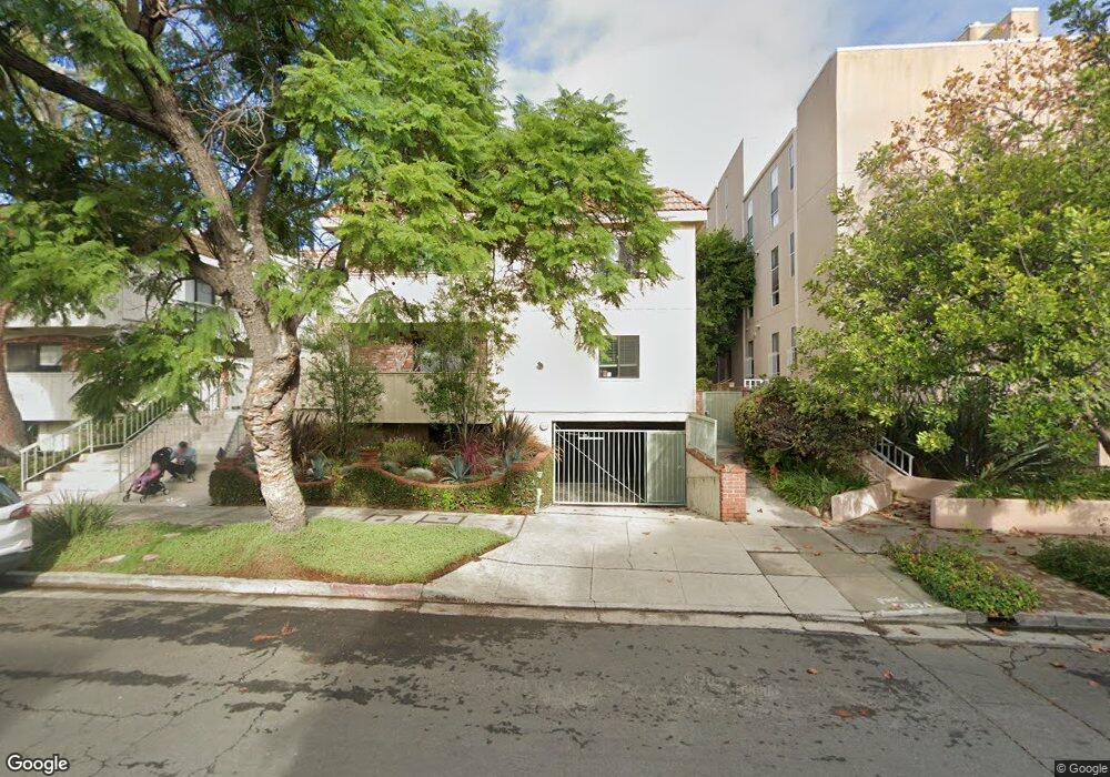
10657 Wilkins Ave Unit 5 Los Angeles, CA 90024
Westwood NeighborhoodEstimated Value: $674,089 - $1,332,000
2
Beds
2
Baths
856
Sq Ft
$1,099/Sq Ft
Est. Value
About This Home
This home is located at 10657 Wilkins Ave Unit 5, Los Angeles, CA 90024 and is currently estimated at $940,772, approximately $1,099 per square foot. 10657 Wilkins Ave Unit 5 is a home located in Los Angeles County with nearby schools including Fairburn Avenue Elementary, Westwood Charter School, and Ralph Waldo Emerson Community Charter Middle School.
Ownership History
Date
Name
Owned For
Owner Type
Purchase Details
Closed on
Mar 6, 2001
Sold by
Ayala Olivia
Bought by
Fredo Gary William
Current Estimated Value
Home Financials for this Owner
Home Financials are based on the most recent Mortgage that was taken out on this home.
Original Mortgage
$184,800
Outstanding Balance
$68,147
Interest Rate
7.19%
Estimated Equity
$872,625
Create a Home Valuation Report for This Property
The Home Valuation Report is an in-depth analysis detailing your home's value as well as a comparison with similar homes in the area
Home Values in the Area
Average Home Value in this Area
Purchase History
| Date | Buyer | Sale Price | Title Company |
|---|---|---|---|
| Fredo Gary William | $231,000 | Equity Title Company |
Source: Public Records
Mortgage History
| Date | Status | Borrower | Loan Amount |
|---|---|---|---|
| Open | Fredo Gary William | $184,800 |
Source: Public Records
Tax History Compared to Growth
Tax History
| Year | Tax Paid | Tax Assessment Tax Assessment Total Assessment is a certain percentage of the fair market value that is determined by local assessors to be the total taxable value of land and additions on the property. | Land | Improvement |
|---|---|---|---|---|
| 2025 | $4,221 | $348,053 | $178,698 | $169,355 |
| 2024 | $4,221 | $341,230 | $175,195 | $166,035 |
| 2023 | $4,143 | $334,540 | $171,760 | $162,780 |
| 2022 | $3,953 | $327,982 | $168,393 | $159,589 |
| 2021 | $3,900 | $321,552 | $165,092 | $156,460 |
| 2019 | $3,784 | $312,017 | $160,197 | $151,820 |
| 2018 | $3,768 | $305,900 | $157,056 | $148,844 |
| 2016 | $3,600 | $294,023 | $150,958 | $143,065 |
| 2015 | $3,548 | $289,608 | $148,691 | $140,917 |
| 2014 | $3,567 | $283,936 | $145,779 | $138,157 |
Source: Public Records
Map
Nearby Homes
- 10633 Kinnard Ave Unit 1
- 10671 Wilkins Ave Unit 5
- 10600 Wilkins Ave Unit 3D
- 1567 Westholme Ave Unit 4A
- 10687 Wilkins Ave Unit 1
- 1601 Hilts Ave Unit 3
- 1621 Hilts Ave Unit 1
- 1551 Manning Ave Unit 101
- 10721 Ohio Ave
- 10620 Holman Ave
- 10725 Ohio Ave Unit 301
- 10725 Ohio Ave Unit PH2
- 1621 Manning Ave
- 10582 Holman Ave
- 1677 Westholme Ave
- 1651 Fairburn Ave
- 10745 Ohio Ave
- 10600 Eastborne Ave Unit 12
- 10627 Ashton Ave Unit 103
- 10509 Wilkins Ave
- 10657 Wilkins Ave Unit 6
- 10657 Wilkins Ave Unit 4
- 10657 Wilkins Ave Unit 3
- 10657 Wilkins Ave Unit 2
- 10657 Wilkins Ave Unit 1
- 10661 Wilkins Ave Unit 6
- 10661 Wilkins Ave
- 10661 Wilkins Ave Unit 4
- 10661 Wilkins Ave Unit 3
- 10661 Wilkins Ave Unit 2
- 10661 Wilkins Ave Unit 1
- 10647 Wilkins Ave Unit 203
- 10647 Wilkins Ave Unit 104
- 10647 Wilkins Ave Unit 308
- 10647 Wilkins Ave Unit 101
- 10647 Wilkins Ave Unit 304
- 10647 Wilkins Ave Unit 102
- 10647 Wilkins Ave Unit 307
- 10647 Wilkins Ave Unit 306
- 10647 Wilkins Ave Unit 305