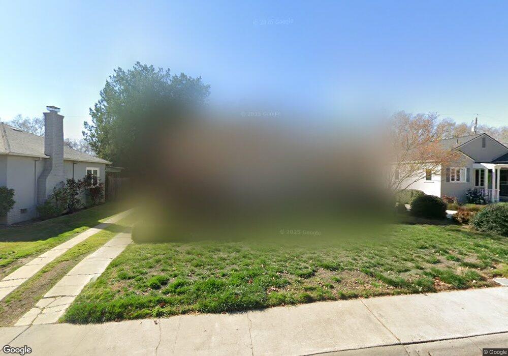
1066 6th Ave Sacramento, CA 95818
Upper Land Park NeighborhoodEstimated Value: $404,000 - $633,000
2
Beds
1
Bath
1,069
Sq Ft
$520/Sq Ft
Est. Value
About This Home
This home is located at 1066 6th Ave, Sacramento, CA 95818 and is currently estimated at $555,394, approximately $519 per square foot. 1066 6th Ave is a home located in Sacramento County with nearby schools including Crocker/Riverside Elementary School, California Middle, and C. K. McClatchy High.
Create a Home Valuation Report for This Property
The Home Valuation Report is an in-depth analysis detailing your home's value as well as a comparison with similar homes in the area
Home Values in the Area
Average Home Value in this Area
Tax History Compared to Growth
Tax History
| Year | Tax Paid | Tax Assessment Tax Assessment Total Assessment is a certain percentage of the fair market value that is determined by local assessors to be the total taxable value of land and additions on the property. | Land | Improvement |
|---|---|---|---|---|
| 2025 | $3,955 | $136,508 | $29,949 | $106,559 |
| 2024 | $3,955 | $133,832 | $29,362 | $104,470 |
| 2023 | $1,718 | $131,209 | $28,787 | $102,422 |
| 2022 | $1,687 | $128,637 | $28,223 | $100,414 |
| 2021 | $2,162 | $126,116 | $27,670 | $98,446 |
| 2020 | $3,692 | $124,824 | $27,387 | $97,437 |
| 2019 | $1,584 | $122,377 | $26,850 | $95,527 |
| 2018 | $1,543 | $119,978 | $26,324 | $93,654 |
| 2017 | $3,508 | $117,626 | $25,808 | $91,818 |
| 2016 | $1,765 | $115,320 | $25,302 | $90,018 |
| 2015 | $1,444 | $113,588 | $24,922 | $88,666 |
| 2014 | $1,408 | $111,364 | $24,434 | $86,930 |
Source: Public Records
Map
Nearby Homes
- 3098 Riverside Blvd
- 849 8th Ave
- 710 7th Ave
- 1032 10th Ave
- 625 Robertson Way
- 613 Swanston Dr
- 749 3rd Ave Unit 3
- 808 Fremont Way
- 1432 Teneighth Way
- 941 McClatchy Way
- 2766 San Luis Ct
- 2750 Moonflower St
- 2726 Moonflower St
- 2756 San Luis Ct
- 601 Dudley Way
- 2825 Elderberry St
- 1259 Milano Dr Unit 2
- 1701 9th Ave
- 1615 Vallejo Way
- The Argo Plan at The Estates at Newport