10660 Fox Cir Seward, AK 99664
Estimated Value: $314,676 - $384,000
3
Beds
2
Baths
1,296
Sq Ft
$270/Sq Ft
Est. Value
About This Home
This home is located at 10660 Fox Cir, Seward, AK 99664 and is currently estimated at $349,338, approximately $269 per square foot. 10660 Fox Cir is a home with nearby schools including William H. Seward Elementary School and Seward High School.
Ownership History
Date
Name
Owned For
Owner Type
Purchase Details
Closed on
Jul 25, 2012
Sold by
Paperman David B and Paperman Dana B
Bought by
Haugh Jennifer B
Current Estimated Value
Home Financials for this Owner
Home Financials are based on the most recent Mortgage that was taken out on this home.
Original Mortgage
$204,081
Outstanding Balance
$140,741
Interest Rate
3.65%
Mortgage Type
New Conventional
Estimated Equity
$208,597
Purchase Details
Closed on
Mar 10, 2009
Sold by
Paperman David B
Bought by
Paperman David B and Paperman Dana B
Home Financials for this Owner
Home Financials are based on the most recent Mortgage that was taken out on this home.
Original Mortgage
$135,000
Interest Rate
5.03%
Mortgage Type
New Conventional
Create a Home Valuation Report for This Property
The Home Valuation Report is an in-depth analysis detailing your home's value as well as a comparison with similar homes in the area
Home Values in the Area
Average Home Value in this Area
Purchase History
| Date | Buyer | Sale Price | Title Company |
|---|---|---|---|
| Haugh Jennifer B | -- | First American Title Ins Co | |
| Paperman David B | -- | First American Title Ins Co |
Source: Public Records
Mortgage History
| Date | Status | Borrower | Loan Amount |
|---|---|---|---|
| Open | Haugh Jennifer B | $204,081 | |
| Previous Owner | Paperman David B | $135,000 |
Source: Public Records
Tax History Compared to Growth
Tax History
| Year | Tax Paid | Tax Assessment Tax Assessment Total Assessment is a certain percentage of the fair market value that is determined by local assessors to be the total taxable value of land and additions on the property. | Land | Improvement |
|---|---|---|---|---|
| 2025 | $1,897 | $259,400 | $64,200 | $195,200 |
| 2024 | $949 | $240,700 | $61,000 | $179,700 |
| 2023 | $1,839 | $234,800 | $42,500 | $192,300 |
| 2022 | $1,817 | $233,500 | $38,600 | $194,900 |
| 2021 | $1,251 | $213,400 | $36,100 | $177,300 |
| 2020 | $1,451 | $193,700 | $36,100 | $157,600 |
| 2019 | $725 | $193,500 | $33,200 | $160,300 |
| 2018 | $1,251 | $173,900 | $28,900 | $145,000 |
| 2017 | $1,223 | $173,500 | $28,900 | $144,600 |
| 2016 | $1,189 | $170,100 | $28,900 | $141,200 |
| 2015 | $1,169 | $168,200 | $28,900 | $139,300 |
| 2014 | $1,169 | $163,800 | $28,900 | $134,900 |
Source: Public Records
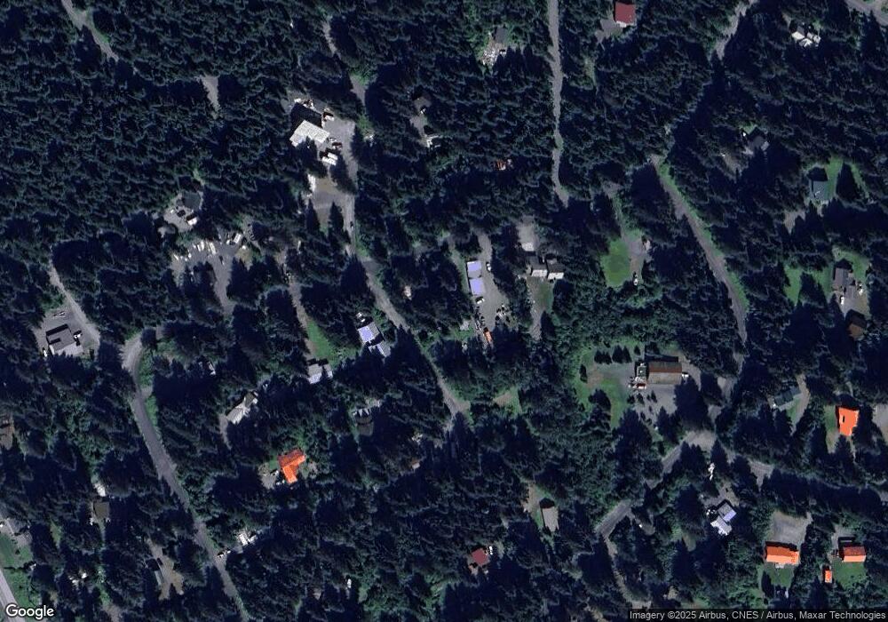
Map
Nearby Homes
- 33434 Nash Rd
- 33750 Nash Rd
- NHN Seward Hwy
- 12265 Lancelot Dr
- 12286 Lancelot Dr
- 12153 Excaliber Way
- 12492 Camelot Dr
- 2600 Birch St
- 32693 Wizard Ave
- 33360 Nash Rd
- 2503 Cedar St
- 2417 Maple St
- 2403 Maple St
- 211 Benson Dr
- 32945 Melanie Ln
- L5A-3 Maximilian Dr
- 104 Benson Dr
- 2415 Afognak Ave
- 32693 Caines Head Rd
- 1807 Swetmann Ave Unit 7
- 33723 Wolf Trail Ln
- 10637 Fox Cir
- L11 B4 Fox Cir
- 33749 Wolf Trail Ln
- 33670 Wolf Trail Ln
- 10613 Fox Cir
- 33655 Wolf Trail Ln
- 33740 Wolf Trail Ln
- 10599 Fox Cir
- 10708 Lupine Cir
- 33783 Wolf Trail Ln
- 10691 Lupine Cir
- 33638 Wolf Trail Ln
- 33616 Wolf Trail Ln
- 10698 Bear Paw Dr
- 10564 Bearpaw Dr
- 10610 Bearpaw Dr
- 10543 Moosehorn Rd
- 10528 Bearpaw Dr
- L17 B1 Wolf Trail Cir