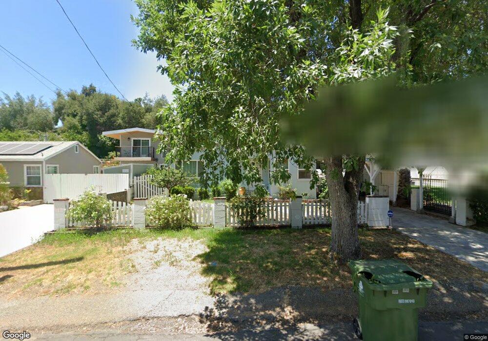
10661 Sable Ave Sunland, CA 91040
Sunland NeighborhoodEstimated Value: $947,045 - $1,026,000
4
Beds
3
Baths
1,827
Sq Ft
$540/Sq Ft
Est. Value
About This Home
This home is located at 10661 Sable Ave, Sunland, CA 91040 and is currently estimated at $986,011, approximately $539 per square foot. 10661 Sable Ave is a home located in Los Angeles County with nearby schools including Sunland Elementary School, Mt. Gleason Middle School, and Verdugo Hills Senior High School.
Ownership History
Date
Name
Owned For
Owner Type
Purchase Details
Closed on
Feb 23, 2005
Sold by
Bonebrake Kenneth Ray
Bought by
Coles Andrew D and Sharpe Laura
Current Estimated Value
Home Financials for this Owner
Home Financials are based on the most recent Mortgage that was taken out on this home.
Original Mortgage
$406,000
Outstanding Balance
$207,737
Interest Rate
5.75%
Mortgage Type
New Conventional
Estimated Equity
$778,274
Purchase Details
Closed on
Aug 11, 1999
Sold by
Bonebrake Kenneth R
Bought by
Bonebrake Kenneth Ray
Purchase Details
Closed on
Aug 29, 1997
Sold by
Bonebrake Sarah E
Bought by
Bonebrake Kenneth Ray and Bonebrake Kenneth R
Home Financials for this Owner
Home Financials are based on the most recent Mortgage that was taken out on this home.
Original Mortgage
$21,850
Interest Rate
7.42%
Create a Home Valuation Report for This Property
The Home Valuation Report is an in-depth analysis detailing your home's value as well as a comparison with similar homes in the area
Home Values in the Area
Average Home Value in this Area
Purchase History
| Date | Buyer | Sale Price | Title Company |
|---|---|---|---|
| Coles Andrew D | $507,500 | First American Title | |
| Bonebrake Kenneth Ray | -- | Southland Title Corporation | |
| Bonebrake Kenneth Ray | -- | Fidelity Title |
Source: Public Records
Mortgage History
| Date | Status | Borrower | Loan Amount |
|---|---|---|---|
| Open | Coles Andrew D | $406,000 | |
| Previous Owner | Bonebrake Kenneth Ray | $21,850 | |
| Closed | Coles Andrew D | $50,750 |
Source: Public Records
Tax History Compared to Growth
Tax History
| Year | Tax Paid | Tax Assessment Tax Assessment Total Assessment is a certain percentage of the fair market value that is determined by local assessors to be the total taxable value of land and additions on the property. | Land | Improvement |
|---|---|---|---|---|
| 2025 | $8,484 | $707,395 | $565,921 | $141,474 |
| 2024 | $8,484 | $693,525 | $554,825 | $138,700 |
| 2023 | $8,319 | $679,928 | $543,947 | $135,981 |
| 2022 | $7,929 | $666,597 | $533,282 | $133,315 |
| 2021 | $7,825 | $653,527 | $522,826 | $130,701 |
| 2019 | $7,588 | $634,145 | $507,320 | $126,825 |
| 2018 | $7,535 | $621,712 | $497,373 | $124,339 |
| 2016 | $6,528 | $542,000 | $434,000 | $108,000 |
| 2015 | $6,148 | $510,000 | $408,000 | $102,000 |
| 2014 | $5,318 | $430,000 | $344,000 | $86,000 |
Source: Public Records
Map
Nearby Homes
- 8720 Mulberry Dr
- 8939 Oswego St
- 10711 Sherman Grove Ave Unit 26
- 10711 Sherman Grove Ave Unit 13
- 10711 Sherman Grove Ave Unit 36
- 10799 Sherman Grove Ave
- 10799 Sherman Grove Ave Unit 18
- 10648 Franlie Dr
- 10435 Newhome Ave Unit 7
- 10500 Sunland Blvd Unit 2
- 8736 Wyngate St Unit 22
- 9071 Riderwood Dr
- 8421 Grenoble St
- 10347 Newhome Ave
- 10704 Oro Vista Ave
- 11009 Quill Ave
- 8352 Wyngate St
- 10335 Oro Vista Ave
- 8230 Hillrose St
- 8600 Day St
- 10665 Sable Ave
- 10657 Sable Ave
- 10705 Sable Ave
- 10678 Turnbow Dr
- 10672 Turnbow Dr
- 10649 Sable Ave
- 10686 Turnbow Dr
- 10709 Sable Ave
- 10645 Sable Ave
- 10668 Turnbow Dr
- 10658 Sable Ave
- 10650 Sable Ave
- 10700 Turnbow Dr
- 10700 Sable Ave
- 10637 Sable Ave
- 10713 Sable Ave
- 10644 Sable Ave
- 8702 W Hillrose St
- 10710 Turnbow Dr
- 10660 Turnbow Dr