10677 Roxborough Dr Littleton, CO 80125
Estimated Value: $832,390 - $1,331,000
4
Beds
4
Baths
2,210
Sq Ft
$474/Sq Ft
Est. Value
About This Home
This home is located at 10677 Roxborough Dr, Littleton, CO 80125 and is currently estimated at $1,048,098, approximately $474 per square foot. 10677 Roxborough Dr is a home located in Douglas County with nearby schools including Roxborough Elementary School, Roxborough Intermediate School, and Ranch View Middle School.
Ownership History
Date
Name
Owned For
Owner Type
Purchase Details
Closed on
Jul 3, 2003
Sold by
Huyser Elizabeth H
Bought by
Marvin E Huyser Family Trust
Current Estimated Value
Purchase Details
Closed on
Mar 3, 1995
Sold by
Huyser Marvin E and Huyser Elizabeth H
Bought by
Huyser Marvin E and Huyser Elizabeth H
Purchase Details
Closed on
Dec 21, 1983
Sold by
Hendrick Marshall and Hendrick Linda G
Bought by
Huyser Marvin E and Huyser Elizabeth
Create a Home Valuation Report for This Property
The Home Valuation Report is an in-depth analysis detailing your home's value as well as a comparison with similar homes in the area
Home Values in the Area
Average Home Value in this Area
Purchase History
| Date | Buyer | Sale Price | Title Company |
|---|---|---|---|
| Marvin E Huyser Family Trust | -- | -- | |
| Huyser Marvin E | -- | -- | |
| Huyser Marvin E | $38,000 | -- |
Source: Public Records
Tax History Compared to Growth
Tax History
| Year | Tax Paid | Tax Assessment Tax Assessment Total Assessment is a certain percentage of the fair market value that is determined by local assessors to be the total taxable value of land and additions on the property. | Land | Improvement |
|---|---|---|---|---|
| 2024 | $4,929 | $63,700 | $9,280 | $54,420 |
| 2023 | $4,965 | $63,700 | $9,280 | $54,420 |
| 2022 | $3,521 | $45,010 | $6,680 | $38,330 |
| 2021 | $3,687 | $45,010 | $6,680 | $38,330 |
| 2020 | $3,371 | $42,770 | $7,340 | $35,430 |
| 2019 | $3,390 | $42,770 | $7,340 | $35,430 |
| 2018 | $2,810 | $35,840 | $5,830 | $30,010 |
| 2017 | $2,643 | $35,840 | $5,830 | $30,010 |
| 2016 | $2,309 | $32,500 | $8,240 | $24,260 |
| 2015 | $2,359 | $32,500 | $8,240 | $24,260 |
| 2014 | $2,548 | $32,440 | $4,580 | $27,860 |
Source: Public Records
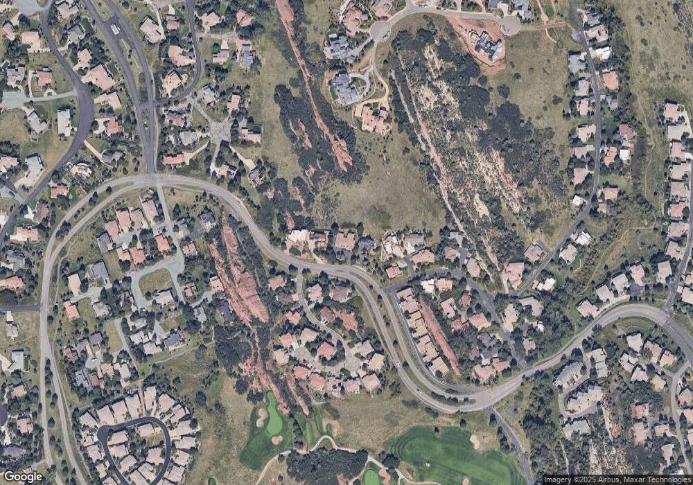
Map
Nearby Homes
- 10506 Brown Fox Trail
- 6842 Raspberry Run
- 7188 Raphael Ln
- 6874 Raspberry Run
- 7208 Raphael Ln
- 10991 Expedition
- 6958 Buckskin Dr
- 6948 Buckskin Dr
- 6753 Big Horn Trail
- 6835 Surrey Trail
- 6945 Fargo Trail
- 6941 Fargo Trail
- 6945 N Fargo Trail
- 6480 Willow Broom Trail
- 7191 Red Mesa Dr
- 7217 Red Mesa Ct
- 6424 Willow Broom Trail
- 6324 Willow Broom Trail
- 7076 Eagle Rock Dr
- 6950 Blue Mesa Ln
- 10667 Roxborough Dr
- 10707 Roxborough Dr
- 10647 Brown Fox Trail
- 6960 Fairway Vistas Rd
- 10717 Roxborough Dr
- 6970 Fairway Vistas Rd
- 10657 Brown Fox Trail
- 10637 Brown Fox Trail
- 6950 Fairway Vistas Rd
- 10598 Roxborough Dr
- 10598 Roxborough Dr Unit 1
- 10598 Roxborough Dr Unit 11
- 10627 Brown Fox Trail
- 6979 Fairway Vistas Rd
- 6969 Fairway Vistas Rd
- 10596 Roxborough Dr Unit 2
- 10616 Brown Fox Trail
- 10594 Roxborough Dr Unit 3
- 10576 Roxborough Dr Unit 2
- 6959 Fairway Vistas Rd