107 A B & C Walnut Ln Belpre, OH 45714
Estimated Value: $258,000 - $415,000
6
Beds
3
Baths
4,104
Sq Ft
$87/Sq Ft
Est. Value
About This Home
This home is located at 107 A B & C Walnut Ln, Belpre, OH 45714 and is currently estimated at $356,667, approximately $86 per square foot. 107 A B & C Walnut Ln is a home with nearby schools including Warren High School.
Ownership History
Date
Name
Owned For
Owner Type
Purchase Details
Closed on
Jul 19, 2022
Sold by
Mincks Sr Larry R
Bought by
Apex Equipment & Trailer Llc
Current Estimated Value
Purchase Details
Closed on
Feb 27, 2015
Sold by
Fouss Daniel A
Bought by
Burt David L
Purchase Details
Closed on
Feb 26, 2015
Sold by
Burt David L and Burt Merrilee A
Bought by
Fouss Daniel A
Purchase Details
Closed on
Aug 20, 2007
Sold by
Perdue Mark A and Perdue Cheryl A
Bought by
Burt David L and Burt Merrilee A
Purchase Details
Closed on
Jul 9, 2003
Bought by
Perdue Mark A and Perdue Cheryl A
Purchase Details
Closed on
Nov 18, 1985
Create a Home Valuation Report for This Property
The Home Valuation Report is an in-depth analysis detailing your home's value as well as a comparison with similar homes in the area
Home Values in the Area
Average Home Value in this Area
Purchase History
| Date | Buyer | Sale Price | Title Company |
|---|---|---|---|
| Apex Equipment & Trailer Llc | $200,300 | Woofter Andrew C | |
| Burt David L | -- | None Available | |
| Fouss Daniel A | -- | Attorney | |
| Burt David L | $165,000 | Attorney | |
| Perdue Mark A | $130,000 | -- | |
| -- | -- | -- |
Source: Public Records
Tax History Compared to Growth
Tax History
| Year | Tax Paid | Tax Assessment Tax Assessment Total Assessment is a certain percentage of the fair market value that is determined by local assessors to be the total taxable value of land and additions on the property. | Land | Improvement |
|---|---|---|---|---|
| 2024 | $3,797 | $91,130 | $6,350 | $84,780 |
| 2023 | $3,797 | $91,130 | $6,350 | $84,780 |
| 2022 | $4,623 | $91,130 | $6,350 | $84,780 |
| 2021 | $4,775 | $87,690 | $3,700 | $83,990 |
| 2020 | $5,239 | $87,690 | $3,700 | $83,990 |
| 2019 | $4,820 | $87,690 | $3,700 | $83,990 |
| 2018 | $4,402 | $79,570 | $3,080 | $76,490 |
| 2017 | $4,893 | $79,570 | $3,080 | $76,490 |
| 2016 | $4,082 | $79,570 | $3,080 | $76,490 |
| 2015 | $5,406 | $68,340 | $2,810 | $65,530 |
| 2014 | $3,603 | $69,470 | $3,940 | $65,530 |
| 2013 | $22 | $69,470 | $3,940 | $65,530 |
Source: Public Records
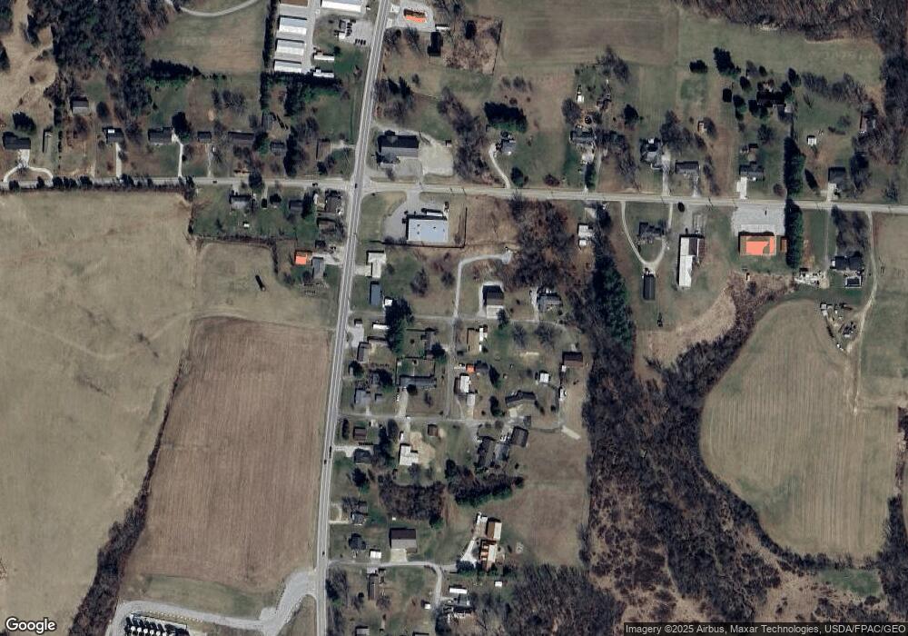
Map
Nearby Homes
- 0 Brackenridge Rd Unit 23885979
- 0 Brackenridge Rd Unit 23885976
- 265 James Ln
- 120 Fleming Dr
- 135 Knob Dr
- 1556 Mcgill Rd
- 735 Timberline Dr
- 1015 Brackenridge Rd
- 545 Lewis Pointe Dr
- 15 Oakmont Dr
- 28 Mcgill Rd
- 6570 State Route 339
- 8045 Veto Rd
- 631 Short Brook Rd
- 0 Layman Rd Unit 5162075
- 0 Layman Rd Unit 5162072
- 2207 Veto Rd
- 1462 State Route 339
- 1396 State Route 339
- 130 Maze Rd