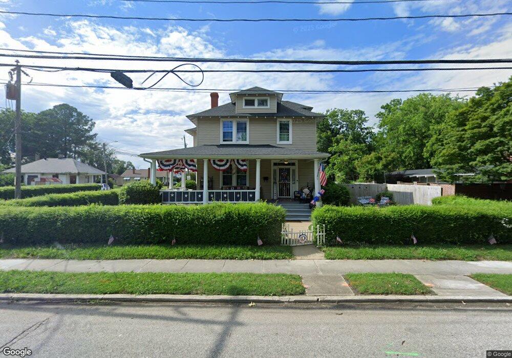
107 E Pembroke Ave Hampton, VA 23669
Pasture Point NeighborhoodEstimated Value: $324,377 - $368,000
4
Beds
2
Baths
2,230
Sq Ft
$155/Sq Ft
Est. Value
About This Home
This home is located at 107 E Pembroke Ave, Hampton, VA 23669 and is currently estimated at $345,094, approximately $154 per square foot. 107 E Pembroke Ave is a home located in Hampton City with nearby schools including Capt. John Smith Elementary School, C. Alton Lindsay Middle School, and Phoebus High School.
Ownership History
Date
Name
Owned For
Owner Type
Purchase Details
Closed on
Oct 15, 2025
Sold by
Perry David M
Bought by
David Michael Perry Llc
Current Estimated Value
Purchase Details
Closed on
Dec 11, 2014
Sold by
Pilot Investments Llc
Bought by
Perry David M
Home Financials for this Owner
Home Financials are based on the most recent Mortgage that was taken out on this home.
Original Mortgage
$140,000
Interest Rate
3.98%
Mortgage Type
Construction
Purchase Details
Closed on
Aug 30, 2013
Sold by
Smith Jeneane
Bought by
Pilot Investments Llc
Create a Home Valuation Report for This Property
The Home Valuation Report is an in-depth analysis detailing your home's value as well as a comparison with similar homes in the area
Home Values in the Area
Average Home Value in this Area
Purchase History
| Date | Buyer | Sale Price | Title Company |
|---|---|---|---|
| David Michael Perry Llc | -- | None Listed On Document | |
| Perry David M | $180,000 | -- | |
| Pilot Investments Llc | $65,000 | -- |
Source: Public Records
Mortgage History
| Date | Status | Borrower | Loan Amount |
|---|---|---|---|
| Previous Owner | Perry David M | $140,000 |
Source: Public Records
Tax History
| Year | Tax Paid | Tax Assessment Tax Assessment Total Assessment is a certain percentage of the fair market value that is determined by local assessors to be the total taxable value of land and additions on the property. | Land | Improvement |
|---|---|---|---|---|
| 2025 | $3,539 | $299,500 | $80,000 | $219,500 |
| 2024 | $3,367 | $292,800 | $80,000 | $212,800 |
| 2023 | $3,323 | $286,500 | $80,000 | $206,500 |
| 2022 | $2,800 | $237,300 | $64,000 | $173,300 |
| 2021 | $2,438 | $186,100 | $43,200 | $142,900 |
| 2020 | $2,279 | $183,800 | $40,000 | $143,800 |
| 2019 | $2,256 | $181,900 | $40,000 | $141,900 |
| 2018 | $2,334 | $180,100 | $38,800 | $141,300 |
| 2017 | $2,327 | $0 | $0 | $0 |
| 2016 | $2,327 | $180,100 | $0 | $0 |
| 2015 | $2,327 | $0 | $0 | $0 |
| 2014 | $1,302 | $98,200 | $38,800 | $59,400 |
Source: Public Records
Map
Nearby Homes
- 418 Wine St
- 115 E Pembroke Ave
- 603 Washington St
- 301 Washington St
- 606 Washington St
- 329 Center St
- 329 Elm Ave
- 314 Cooper St
- 311 Cooper St
- 233 Mill Point Dr
- 433 Cooper St
- 542 River St
- 439 Cooper St
- 720 River St
- 845 N King St
- 925 Quash St
- 138 Eberly Terrace
- 221 Island Cove Ct Unit C
- 226 Island Cove Ct Unit C
- 212 Dockside Dr Unit C
- 113 E Pembroke Ave
- 33 E Pembroke Ave
- 420 Wine St
- 506 Wine St
- 121 E Pembroke Ave
- 29 E Pembroke Ave
- 110 E Pembroke Ave
- 108 E Pembroke Ave
- 419 Wine St
- 415 Eaton St
- 417 Eaton St
- 13 E Pembroke Ave
- 510 Wine St
- 123 E Pembroke Ave
- 114 E Pembroke Ave
- 509 Wine St
- 118 E Pembroke Ave
- 501 Eaton St
- 503 Eaton St
- 515 Wine St
Your Personal Tour Guide
Ask me questions while you tour the home.