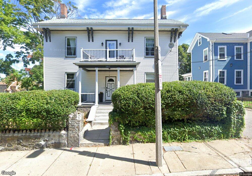
107 Munroe St Unit 2 Roxbury, MA 02119
Washington Park NeighborhoodEstimated Value: $1,042,000 - $1,282,002
3
Beds
1
Bath
1,700
Sq Ft
$684/Sq Ft
Est. Value
About This Home
This home is located at 107 Munroe St Unit 2, Roxbury, MA 02119 and is currently estimated at $1,163,251, approximately $684 per square foot. 107 Munroe St Unit 2 is a home located in Suffolk County with nearby schools including Bridge Boston Charter School and City on a Hill Charter Public School.
Ownership History
Date
Name
Owned For
Owner Type
Purchase Details
Closed on
Nov 27, 2024
Sold by
Pelunis-Messier Lisa and Pelunis-Messier David
Bought by
P-M Enterprises Llc
Current Estimated Value
Purchase Details
Closed on
Nov 12, 2020
Sold by
Beysolow Faith O and Leonard Gregory L
Bought by
Pelunis-Messier Lisa and Pelunis-Messier David
Home Financials for this Owner
Home Financials are based on the most recent Mortgage that was taken out on this home.
Original Mortgage
$585,000
Interest Rate
2.8%
Mortgage Type
New Conventional
Purchase Details
Closed on
Jan 13, 2017
Sold by
Leonard Rupert A
Bought by
Leonard Eleanor M
Create a Home Valuation Report for This Property
The Home Valuation Report is an in-depth analysis detailing your home's value as well as a comparison with similar homes in the area
Home Values in the Area
Average Home Value in this Area
Purchase History
| Date | Buyer | Sale Price | Title Company |
|---|---|---|---|
| P-M Enterprises Llc | -- | None Available | |
| P-M Enterprises Llc | -- | None Available | |
| Pelunis-Messier Lisa | $780,000 | None Available | |
| Leonard Eleanor M | -- | -- | |
| Leonard Eleanor M | -- | -- |
Source: Public Records
Mortgage History
| Date | Status | Borrower | Loan Amount |
|---|---|---|---|
| Previous Owner | Pelunis-Messier Lisa | $585,000 |
Source: Public Records
Tax History Compared to Growth
Tax History
| Year | Tax Paid | Tax Assessment Tax Assessment Total Assessment is a certain percentage of the fair market value that is determined by local assessors to be the total taxable value of land and additions on the property. | Land | Improvement |
|---|---|---|---|---|
| 2025 | $12,276 | $1,060,100 | $485,400 | $574,700 |
| 2024 | $10,799 | $990,700 | $343,800 | $646,900 |
| 2023 | $9,335 | $869,200 | $321,400 | $547,800 |
| 2022 | $7,537 | $692,700 | $292,200 | $400,500 |
| 2021 | $6,908 | $647,400 | $273,100 | $374,300 |
| 2020 | $5,429 | $514,100 | $267,700 | $246,400 |
| 2019 | $5,066 | $480,600 | $199,000 | $281,600 |
| 2018 | $4,665 | $445,100 | $199,000 | $246,100 |
| 2017 | $4,531 | $427,900 | $199,000 | $228,900 |
| 2016 | $4,202 | $382,000 | $199,000 | $183,000 |
| 2015 | $3,616 | $298,600 | $127,600 | $171,000 |
| 2014 | $3,354 | $266,600 | $127,600 | $139,000 |
Source: Public Records
Map
Nearby Homes
- 90 Munroe St
- 16 Mayfair St
- 151 Townsend St
- 8 Brinton St Unit 2
- 99 Harrishof St
- 2856 Washington St
- 94 Walnut Ave
- 9-45 Vale St
- 35-37 Notre Dame St
- 26-28-30 Notre Dame St
- 28 Wabon St
- 9 Abbotsford St Unit 1
- 9 W Cedar St Unit 1
- 4 Ruthven St
- 10 Rockland St Unit 4
- 63 Beech Glen St
- 4 Wyoming St Unit 2
- 75 Ruthven St
- 495 Warren St
- 476 Warren St
- 107 Munroe St
- 105 Munroe St
- 105 Munroe St Unit 1
- 105 Munroe St Unit 2
- 103 Munroe St
- 198 Walnut Ave
- 196 Walnut Ave
- 99 Munroe St Unit 101
- 194 Walnut Ave
- 215 Walnut Ave
- 41 Harold St Unit 43
- 41-43 Harold St
- 41 Harold St Unit 3
- 209 Walnut Ave
- 209 Walnut Ave Unit 3
- 209 Walnut Ave Unit 2
- 192 Walnut Ave Unit 1
- 192 Walnut Ave
- 192 Walnut Ave Unit 3
- 221 Walnut Ave Unit 3