Estimated Value: $463,000 - $620,270
3
Beds
2
Baths
2,048
Sq Ft
$254/Sq Ft
Est. Value
About This Home
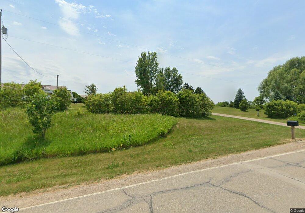
This home is located at 10701 Highway F24 W, Mingo, IA 50168 and is currently estimated at $520,818, approximately $254 per square foot. 10701 Highway F24 W is a home located in Jasper County with nearby schools including Colfax-Mingo Elementary School and Colfax-Mingo High School.
Ownership History
Date
Name
Owned For
Owner Type
Purchase Details
Closed on
Apr 2, 2021
Sold by
Cruchelow Carl D and Cruchelow Jane A
Bought by
Cruchelow Carl D and Cruchelow Jane A
Current Estimated Value
Purchase Details
Closed on
Nov 27, 2006
Sold by
Balestrieri John M and Balestrieri Heidi R
Bought by
Cruchelow Carl D and Cruchelow Jane A
Home Financials for this Owner
Home Financials are based on the most recent Mortgage that was taken out on this home.
Original Mortgage
$40,485
Outstanding Balance
$4,284
Interest Rate
6.33%
Mortgage Type
Stand Alone Second
Estimated Equity
$516,534
Create a Home Valuation Report for This Property
The Home Valuation Report is an in-depth analysis detailing your home's value as well as a comparison with similar homes in the area
Home Values in the Area
Average Home Value in this Area
Purchase History
| Date | Buyer | Sale Price | Title Company |
|---|---|---|---|
| Cruchelow Carl D | -- | None Available | |
| Cruchelow Carl D | $270,000 | None Available |
Source: Public Records
Mortgage History
| Date | Status | Borrower | Loan Amount |
|---|---|---|---|
| Open | Cruchelow Carl D | $40,485 | |
| Open | Cruchelow Carl D | $215,920 |
Source: Public Records
Tax History Compared to Growth
Tax History
| Year | Tax Paid | Tax Assessment Tax Assessment Total Assessment is a certain percentage of the fair market value that is determined by local assessors to be the total taxable value of land and additions on the property. | Land | Improvement |
|---|---|---|---|---|
| 2025 | $6,072 | $489,300 | $54,340 | $434,960 |
| 2024 | $6,072 | $433,120 | $41,970 | $391,150 |
| 2023 | $5,960 | $433,120 | $41,970 | $391,150 |
| 2022 | $4,810 | $315,780 | $31,420 | $284,360 |
| 2021 | $4,708 | $290,940 | $31,420 | $259,520 |
| 2020 | $4,708 | $268,960 | $29,150 | $239,810 |
| 2019 | $4,394 | $253,890 | $0 | $0 |
| 2018 | $4,394 | $253,890 | $0 | $0 |
| 2017 | $4,454 | $268,860 | $0 | $0 |
| 2016 | $4,454 | $268,860 | $0 | $0 |
| 2015 | $4,456 | $280,070 | $0 | $0 |
| 2014 | $4,294 | $280,070 | $0 | $0 |
Source: Public Records
Map
Nearby Homes
- 103 Everett Cir
- 105 Everett Cir
- 114 S Station St
- 303 S Station St
- 0000 W 96th St N
- 12210 N 59th Ave W
- 6839 Center St
- 12227 N 59th Ave W
- 12485 Highway F17 W
- 5280 Fairview Ln
- 5460 Fairview Ln
- 5220 Fairview Ln
- 5397 Fairview Ln
- 5527 Fairview Ln
- 5517 Fairview Ln
- 5520 Fairview Ln
- 5457 Fariview Ln
- 5277 Fairview Ln
- 5160 Fairview Ln
- 5217 Fairview Ln
- 6684 W 108th St N
- 6645 W 108th St N
- 10541 Highway F24 W
- 6680 W 104th St N
- 6491 W 104th St N
- 6463 W 104th St N
- 10339 Highway F24 W
- 10339 Highway F24 W Unit A
- 6891 W 104th St N
- 7053 W 104th St N
- 7070 W 104th St N
- 7121 W 104th St N
- 10190 Highway F24 W
- 6231 W 104th St N
- 6165 W 104th St N
- 6554 W 100th St N
- 6416 W 100th St N
- 6153 W 100th St N