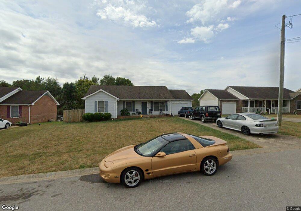
1074 Bobcat Dr Clarksville, TN 37042
Estimated Value: $212,270 - $241,000
--
Bed
2
Baths
1,150
Sq Ft
$200/Sq Ft
Est. Value
About This Home
This home is located at 1074 Bobcat Dr, Clarksville, TN 37042 and is currently estimated at $230,318, approximately $200 per square foot. 1074 Bobcat Dr is a home located in Montgomery County with nearby schools including West Creek Elementary School, Kenwood Middle School, and Kenwood High School.
Ownership History
Date
Name
Owned For
Owner Type
Purchase Details
Closed on
Dec 20, 2004
Sold by
Secretary Of Veterans Affa
Bought by
Larry Roger J
Current Estimated Value
Purchase Details
Closed on
Jun 21, 2004
Sold by
Morris Christopher L
Bought by
Secretary Of Veterans Affairs
Purchase Details
Closed on
Jun 1, 2004
Sold by
Morris Christopher L
Bought by
Secretary Of Veterans Affairs
Purchase Details
Closed on
Nov 18, 2002
Sold by
Lee Morris Christopher
Bought by
Morris Terra Sue Castleber
Create a Home Valuation Report for This Property
The Home Valuation Report is an in-depth analysis detailing your home's value as well as a comparison with similar homes in the area
Home Values in the Area
Average Home Value in this Area
Purchase History
| Date | Buyer | Sale Price | Title Company |
|---|---|---|---|
| Larry Roger J | $85,000 | -- | |
| Secretary Of Veterans Affairs | -- | -- | |
| Secretary Of Veterans Affairs | -- | -- | |
| Morris Terra Sue Castleber | -- | -- |
Source: Public Records
Tax History Compared to Growth
Tax History
| Year | Tax Paid | Tax Assessment Tax Assessment Total Assessment is a certain percentage of the fair market value that is determined by local assessors to be the total taxable value of land and additions on the property. | Land | Improvement |
|---|---|---|---|---|
| 2024 | $1,633 | $54,800 | $0 | $0 |
| 2023 | $1,633 | $29,500 | $0 | $0 |
| 2022 | $1,245 | $29,500 | $0 | $0 |
| 2021 | $1,245 | $29,500 | $0 | $0 |
| 2020 | $1,186 | $29,500 | $0 | $0 |
| 2019 | $1,186 | $29,500 | $0 | $0 |
| 2018 | $1,206 | $25,675 | $0 | $0 |
| 2017 | $347 | $27,975 | $0 | $0 |
| 2016 | $859 | $27,975 | $0 | $0 |
| 2015 | $859 | $27,975 | $0 | $0 |
| 2014 | $1,163 | $27,975 | $0 | $0 |
| 2013 | $1,147 | $26,175 | $0 | $0 |
Source: Public Records
Map
Nearby Homes
- 1073 Bobcat Dr
- 1354 Whitt Ln
- 1030 Mile High Dr
- 1397 Shady Hill Ct
- 1478 McClardy Rd
- 1412 McClardy Rd
- 1009 Fillmore Ct
- 657 Peachers Mill Rd
- 1496 Buchanon Dr
- 1308 Sonja Dr
- 1419 Janet Way Dr
- 209 Griffey Estates
- 1145 Ishee Dr
- 1046 Dwight Eisenhower Way
- 865 Burley Barn Rd
- 361 Burley Barn Rd
- 867 Burley Barn Rd
- 164 Griffey Estates
- 842 Burley Barn Rd
- 809 Amanda Dr