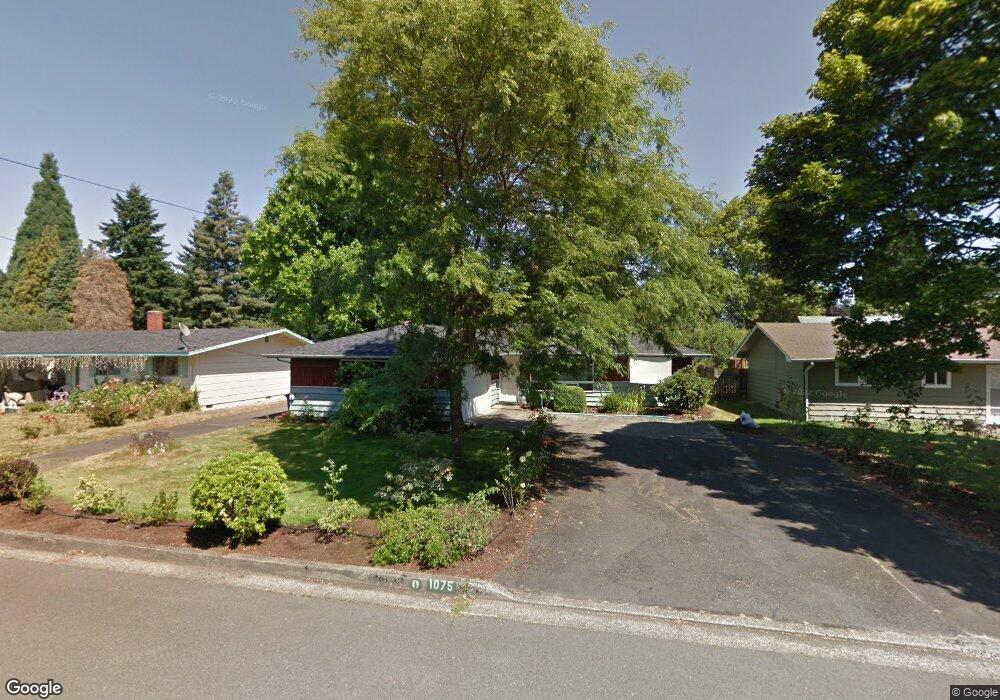
1075 Maple Dr Eugene, OR 97404
River Road NeighborhoodEstimated Value: $391,000 - $419,000
3
Beds
2
Baths
1,316
Sq Ft
$309/Sq Ft
Est. Value
About This Home
This home is located at 1075 Maple Dr, Eugene, OR 97404 and is currently estimated at $406,743, approximately $309 per square foot. 1075 Maple Dr is a home located in Lane County with nearby schools including River Road/El Camino del Río Elementary School, Kelly Middle School, and North Eugene High School.
Ownership History
Date
Name
Owned For
Owner Type
Purchase Details
Closed on
Sep 11, 2015
Sold by
Ford Helen J and Ford Larry J
Bought by
Bengston Justin R and Bengtson Miranda S
Current Estimated Value
Home Financials for this Owner
Home Financials are based on the most recent Mortgage that was taken out on this home.
Original Mortgage
$178,062
Outstanding Balance
$138,306
Interest Rate
3.75%
Mortgage Type
FHA
Estimated Equity
$268,437
Create a Home Valuation Report for This Property
The Home Valuation Report is an in-depth analysis detailing your home's value as well as a comparison with similar homes in the area
Home Values in the Area
Average Home Value in this Area
Purchase History
| Date | Buyer | Sale Price | Title Company |
|---|---|---|---|
| Bengston Justin R | $185,000 | First American Title |
Source: Public Records
Mortgage History
| Date | Status | Borrower | Loan Amount |
|---|---|---|---|
| Open | Bengston Justin R | $178,062 |
Source: Public Records
Tax History
| Year | Tax Paid | Tax Assessment Tax Assessment Total Assessment is a certain percentage of the fair market value that is determined by local assessors to be the total taxable value of land and additions on the property. | Land | Improvement |
|---|---|---|---|---|
| 2025 | $3,524 | $209,761 | -- | -- |
| 2024 | $3,486 | $203,652 | -- | -- |
| 2023 | $3,486 | $197,721 | $0 | $0 |
| 2022 | $3,278 | $191,963 | $0 | $0 |
| 2021 | $3,049 | $186,372 | $0 | $0 |
| 2020 | $3,070 | $180,944 | $0 | $0 |
| 2019 | $2,962 | $175,674 | $0 | $0 |
| 2018 | $2,756 | $165,590 | $0 | $0 |
| 2017 | $2,585 | $165,590 | $0 | $0 |
| 2016 | $2,469 | $160,767 | $0 | $0 |
| 2015 | $2,049 | $156,084 | $0 | $0 |
| 2014 | $2,061 | $151,538 | $0 | $0 |
Source: Public Records
Map
Nearby Homes
- 1010 Horn Ln
- 820 Park Terrace
- 825 Filbert Ave
- 895 Glory Dr
- 1633 Zoe Ave
- 1621 Zoe Ave
- 32 Marion Ln
- 1483 Barton St
- 260 Greenleaf Ave
- 1487 Barton St
- 788 Cornwall Ave
- 811 Virgil Ave
- 1410 Lake Dr
- 1164 Veronica Ln
- 172 Oakleigh Ln Unit 513
- 172 Oakleigh Ln Unit 221
- 1665 Evergreen Dr
- 769 River Rd Unit 4
- 172 Norman Ave
- 1035 Madera St
- 1053 Maple Dr
- 1093 Maple Dr
- 1117 Maple Dr
- 995 W Hilliard Ln
- 965 W Hilliard Ln
- 1070 Maple Dr
- 1050 Maple Dr
- 1098 Maple Dr
- 949 W Hilliard Ln
- 1015 W Hilliard Ln
- 0 W Hilliard Ln
- 937 W Hilliard Ln
- 1120 Maple Dr
- 1135 Maple Dr
- 1021 W Hilliard Ln
- 1085 Fairway Dr
- 1095 Fairway Dr
- 1075 Fairway Dr
- 1097 Fairway Dr
- 980 W Hilliard Ln
Your Personal Tour Guide
Ask me questions while you tour the home.