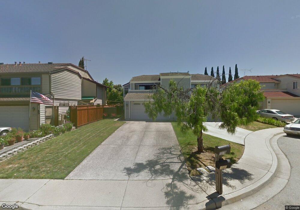
1078 Hay Ct Milpitas, CA 95035
Estimated Value: $1,455,000 - $1,638,000
3
Beds
3
Baths
1,876
Sq Ft
$828/Sq Ft
Est. Value
About This Home
This home is located at 1078 Hay Ct, Milpitas, CA 95035 and is currently estimated at $1,553,418, approximately $828 per square foot. 1078 Hay Ct is a home located in Santa Clara County with nearby schools including John Sinnott Elementary School, Rancho Milpitas Middle School, and Milpitas High School.
Ownership History
Date
Name
Owned For
Owner Type
Purchase Details
Closed on
May 13, 2003
Sold by
Lee Norman C and Kwan Beatrice Y
Bought by
Olson Alan and Olson Charlotte
Current Estimated Value
Home Financials for this Owner
Home Financials are based on the most recent Mortgage that was taken out on this home.
Original Mortgage
$355,840
Outstanding Balance
$141,426
Interest Rate
4.62%
Mortgage Type
Purchase Money Mortgage
Estimated Equity
$1,411,992
Create a Home Valuation Report for This Property
The Home Valuation Report is an in-depth analysis detailing your home's value as well as a comparison with similar homes in the area
Home Values in the Area
Average Home Value in this Area
Purchase History
| Date | Buyer | Sale Price | Title Company |
|---|---|---|---|
| Olson Alan | $445,000 | Old Republic Title Company |
Source: Public Records
Mortgage History
| Date | Status | Borrower | Loan Amount |
|---|---|---|---|
| Open | Olson Alan | $355,840 |
Source: Public Records
Tax History
| Year | Tax Paid | Tax Assessment Tax Assessment Total Assessment is a certain percentage of the fair market value that is determined by local assessors to be the total taxable value of land and additions on the property. | Land | Improvement |
|---|---|---|---|---|
| 2025 | $7,395 | $643,037 | $253,446 | $389,591 |
| 2024 | $7,395 | $630,429 | $248,477 | $381,952 |
| 2023 | $7,370 | $618,068 | $243,605 | $374,463 |
| 2022 | $7,340 | $605,950 | $238,829 | $367,121 |
| 2021 | $7,233 | $594,070 | $234,147 | $359,923 |
| 2020 | $7,107 | $587,980 | $231,747 | $356,233 |
| 2019 | $7,026 | $576,452 | $227,203 | $349,249 |
| 2018 | $6,673 | $565,150 | $222,749 | $342,401 |
| 2017 | $6,586 | $554,070 | $218,382 | $335,688 |
| 2016 | $6,319 | $543,206 | $214,100 | $329,106 |
| 2015 | $6,254 | $535,048 | $210,885 | $324,163 |
| 2014 | $6,081 | $524,569 | $206,755 | $317,814 |
Source: Public Records
Map
Nearby Homes
- 1430 Cuciz Ln
- 997 Courtland Ct
- 1490 Mount Diablo Ave
- 1260 Glacier Dr
- 1361 Highland Ct
- 861 Garden St
- 1759 Tahoe Dr
- 672 Amalfi Loop
- 2152 Ashwood Ln
- 2144 Ashwood Ln
- 931 Galindo Ct
- 3108 Kermath Dr
- 1365 Merry Loop
- 2085 Ashwood Ln
- 484 Dempsey Rd Unit 186
- 2074 Ashwood Ln
- 397 S Park Victoria Dr
- 496 Dempsey Rd Unit 199
- 2235 Skyline Dr
- 2158 Capitol Park Ct
Your Personal Tour Guide
Ask me questions while you tour the home.