Estimated Value: $327,000 - $390,000
3
Beds
2
Baths
1,650
Sq Ft
$214/Sq Ft
Est. Value
About This Home
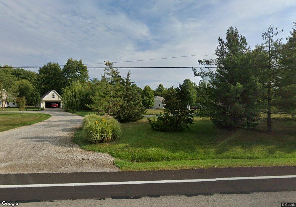
This home is located at 10787 State Route 34, Bryan, OH 43506 and is currently estimated at $353,301, approximately $214 per square foot. 10787 State Route 34 is a home located in Williams County with nearby schools including Bryan Elementary PK-5, Washington Elementary School, and Bryan Middle School/High School.
Ownership History
Date
Name
Owned For
Owner Type
Purchase Details
Closed on
Sep 14, 2012
Sold by
Schreder Carol A and Roger Carol A
Bought by
Apt Clark M and Apt Emily Claudia
Current Estimated Value
Home Financials for this Owner
Home Financials are based on the most recent Mortgage that was taken out on this home.
Original Mortgage
$146,000
Outstanding Balance
$101,074
Interest Rate
3.58%
Mortgage Type
New Conventional
Estimated Equity
$252,227
Purchase Details
Closed on
Jun 30, 2008
Sold by
Rogers Gregory P
Bought by
Schreder Carol A and Carol A Presnar Trust
Purchase Details
Closed on
Jan 21, 2004
Bought by
Presnar Carol A Trustee And Rogers Grego
Purchase Details
Closed on
Feb 11, 2003
Sold by
Ledyard Douglas L
Bought by
Schreder Angelike Trustee
Purchase Details
Closed on
Jun 29, 1999
Bought by
Created **Parcel
Create a Home Valuation Report for This Property
The Home Valuation Report is an in-depth analysis detailing your home's value as well as a comparison with similar homes in the area
Home Values in the Area
Average Home Value in this Area
Purchase History
| Date | Buyer | Sale Price | Title Company |
|---|---|---|---|
| Apt Clark M | $182,500 | None Available | |
| Schreder Carol A | -- | None Available | |
| Presnar Carol A Trustee And Rogers Grego | $159,400 | -- | |
| Schreder Angelike Trustee | $160,000 | -- | |
| Created **Parcel | $16,000 | -- |
Source: Public Records
Mortgage History
| Date | Status | Borrower | Loan Amount |
|---|---|---|---|
| Open | Apt Clark M | $146,000 |
Source: Public Records
Tax History Compared to Growth
Tax History
| Year | Tax Paid | Tax Assessment Tax Assessment Total Assessment is a certain percentage of the fair market value that is determined by local assessors to be the total taxable value of land and additions on the property. | Land | Improvement |
|---|---|---|---|---|
| 2024 | $3,803 | $94,050 | $11,060 | $82,990 |
| 2023 | $3,803 | $74,630 | $9,700 | $64,930 |
| 2022 | $3,306 | $74,630 | $9,700 | $64,930 |
| 2021 | $3,296 | $74,630 | $9,700 | $64,930 |
| 2020 | $2,894 | $64,720 | $8,260 | $56,460 |
| 2019 | $2,874 | $64,160 | $8,260 | $55,900 |
| 2018 | $2,850 | $64,160 | $8,260 | $55,900 |
| 2017 | $2,236 | $52,470 | $7,810 | $44,660 |
| 2016 | $2,128 | $52,470 | $7,810 | $44,660 |
| 2015 | $2,220 | $52,470 | $7,810 | $44,660 |
| 2014 | $2,220 | $52,470 | $7,810 | $44,660 |
| 2013 | $2,228 | $52,470 | $7,810 | $44,660 |
Source: Public Records
Map
Nearby Homes
- 0 Saint Andrews Dr
- 00 Troon Ct
- 4441 Ohio 576
- 12 Road
- 202 Belfast Ln
- 322 Dublin Ln
- 324 Dublin Ln
- 10258 County Road D
- 109 Scott Dr
- 101 Westview St
- 206 Brown Dr
- 219 Illinois Dr
- 107 Deerfield Cir
- 8825 County Road D
- 118 Townline Rd
- 3631 Lake St
- 311 Connin St
- 319 Newdale Dr
- 1006 Newdale Cir
- 1004 Greystone Dr
- 10787 Ohio 34
- 10783 State Route 34
- 10841 State Route 34
- 10841 Ohio 34
- 10798 State Route 34
- 10840 State Route 34
- 10693 State Route 34
- 10935 State Route 34
- 5437 Ohio 576
- 10935 Ohio 34
- 5437 State Route 576
- 5437 State Route 576
- 0 Ohio 34 Unit 5072425
- 5692 State Route 576
- 0000 St Rt 34
- 5141 State Route 576
- 5154 State Route 576
- 11144 State Route 34
- 10414 St Rt 34
- 10414 State Route 34