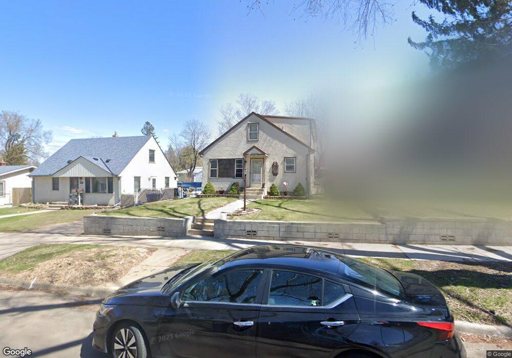
1080 Norton St Saint Paul, MN 55117
North End NeighborhoodEstimated Value: $229,000 - $287,000
4
Beds
2
Baths
1,310
Sq Ft
$194/Sq Ft
Est. Value
About This Home
This home is located at 1080 Norton St, Saint Paul, MN 55117 and is currently estimated at $253,956, approximately $193 per square foot. 1080 Norton St is a home located in Ramsey County with nearby schools including Como Park Elementary School, Murray Middle School, and Como Park Senior High School.
Ownership History
Date
Name
Owned For
Owner Type
Purchase Details
Closed on
Aug 26, 2025
Sold by
Walsh Catherine A
Bought by
Bernard M Walsh And Catherine A Walsh Revocab and Walsh
Current Estimated Value
Purchase Details
Closed on
Dec 5, 2024
Sold by
Bernard M Walsh And Catherine A Walsh Re and Walsh Bernard M
Bought by
Walsh Catherine A
Purchase Details
Closed on
May 24, 2024
Sold by
Walsh Bernard M and Walsh Catherine A
Bought by
Bernard M Walsh And Catherine A Walsh Revocab and Walsh
Create a Home Valuation Report for This Property
The Home Valuation Report is an in-depth analysis detailing your home's value as well as a comparison with similar homes in the area
Home Values in the Area
Average Home Value in this Area
Purchase History
| Date | Buyer | Sale Price | Title Company |
|---|---|---|---|
| Bernard M Walsh And Catherine A Walsh Revocab | $500 | None Listed On Document | |
| Walsh Catherine A | $485 | None Listed On Document | |
| Bernard M Walsh And Catherine A Walsh Revocab | $500 | None Listed On Document |
Source: Public Records
Tax History Compared to Growth
Tax History
| Year | Tax Paid | Tax Assessment Tax Assessment Total Assessment is a certain percentage of the fair market value that is determined by local assessors to be the total taxable value of land and additions on the property. | Land | Improvement |
|---|---|---|---|---|
| 2025 | $2,668 | $224,200 | $25,000 | $199,200 |
| 2023 | $2,668 | $184,500 | $20,000 | $164,500 |
| 2022 | $2,270 | $192,600 | $20,000 | $172,600 |
| 2021 | $1,952 | $156,900 | $20,000 | $136,900 |
| 2020 | $2,154 | $142,800 | $10,700 | $132,100 |
| 2019 | $1,888 | $146,300 | $10,700 | $135,600 |
| 2018 | $1,616 | $129,800 | $10,700 | $119,100 |
| 2017 | $1,062 | $118,300 | $10,700 | $107,600 |
| 2016 | $944 | $0 | $0 | $0 |
| 2015 | $710 | $81,400 | $10,700 | $70,700 |
| 2014 | $876 | $0 | $0 | $0 |
Source: Public Records
Map
Nearby Homes
- 1104 MacKubin St
- 1040 Cumberland St
- 1083 Western Ave N
- 1165 Norton St
- 1176 Norton St
- 1175 Arundel St
- 1049 Kent St
- 1110 Virginia St
- 569 Hatch Ave
- 956 Western Ave N
- 1132 Farrington St
- 1071 Matilda St
- 1063 Dale St N
- 359 Stinson St W
- tbd MacKubin St
- 352 Como Ave
- 552 Burgess St
- 283 Front Ave
- 916 Farrington St
- 705 Como Ave
- 1076 Norton St
- 1084 Norton St
- 1072 Norton St
- 1072 1072 Norton-Street-
- 1090 Norton St
- 1068 Norton St
- 1068 1068 Norton-Street-
- 1079 Arundel St
- 1083 Arundel St
- 1075 Arundel St
- 1075 Norton St
- 1096 Norton St
- 1087 Arundel St
- 1067 Arundel St
- 1079 1079 Norton-Street-
- 1079 Norton St
- 1062 Norton St
- 1071 Norton St
- 1089 Norton St
- 1061 Arundel St