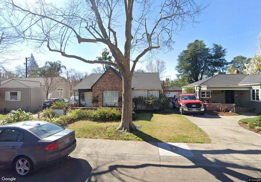
1082 Perkins Way Sacramento, CA 95818
Upper Land Park NeighborhoodEstimated Value: $811,552 - $958,000
3
Beds
2
Baths
1,875
Sq Ft
$461/Sq Ft
Est. Value
About This Home
This home is located at 1082 Perkins Way, Sacramento, CA 95818 and is currently estimated at $863,638, approximately $460 per square foot. 1082 Perkins Way is a home located in Sacramento County with nearby schools including Crocker/Riverside Elementary School, California Middle, and C. K. McClatchy High.
Ownership History
Date
Name
Owned For
Owner Type
Purchase Details
Closed on
Sep 22, 1999
Sold by
Berkheimer Glenn L
Bought by
Marshall Steven B and Marshall Christina D
Current Estimated Value
Home Financials for this Owner
Home Financials are based on the most recent Mortgage that was taken out on this home.
Original Mortgage
$172,550
Outstanding Balance
$51,744
Interest Rate
7.97%
Estimated Equity
$811,894
Create a Home Valuation Report for This Property
The Home Valuation Report is an in-depth analysis detailing your home's value as well as a comparison with similar homes in the area
Home Values in the Area
Average Home Value in this Area
Purchase History
| Date | Buyer | Sale Price | Title Company |
|---|---|---|---|
| Marshall Steven B | $220,000 | Commonwealth Land Title Co |
Source: Public Records
Mortgage History
| Date | Status | Borrower | Loan Amount |
|---|---|---|---|
| Open | Marshall Steven B | $172,550 | |
| Closed | Marshall Steven B | $25,000 |
Source: Public Records
Tax History Compared to Growth
Tax History
| Year | Tax Paid | Tax Assessment Tax Assessment Total Assessment is a certain percentage of the fair market value that is determined by local assessors to be the total taxable value of land and additions on the property. | Land | Improvement |
|---|---|---|---|---|
| 2025 | $5,376 | $441,884 | $61,465 | $380,419 |
| 2024 | $5,376 | $433,220 | $60,260 | $372,960 |
| 2023 | $5,251 | $424,727 | $59,079 | $365,648 |
| 2022 | $5,083 | $416,400 | $57,921 | $358,479 |
| 2021 | $4,846 | $408,236 | $56,786 | $351,450 |
| 2020 | $4,882 | $404,051 | $56,204 | $347,847 |
| 2019 | $4,779 | $396,129 | $55,102 | $341,027 |
| 2018 | $4,655 | $388,363 | $54,022 | $334,341 |
| 2017 | $4,591 | $380,749 | $52,963 | $327,786 |
| 2016 | $4,469 | $373,284 | $51,925 | $321,359 |
| 2015 | $4,377 | $367,678 | $51,146 | $316,532 |
| 2014 | $4,259 | $360,477 | $50,145 | $310,332 |
Source: Public Records
Map
Nearby Homes
- 3098 Riverside Blvd
- 849 8th Ave
- 625 Robertson Way
- 710 7th Ave
- 613 Swanston Dr
- 749 3rd Ave Unit 3
- 1032 10th Ave
- 808 Fremont Way
- 941 McClatchy Way
- 2766 San Luis Ct
- 1432 Teneighth Way
- 2756 San Luis Ct
- 601 Dudley Way
- 1615 Vallejo Way
- 2726 Moonflower St
- 2750 Moonflower St
- 1259 Milano Dr Unit 2
- 1701 9th Ave
- 1268 Milano Dr Unit 6
- 2643 Cleat Ln Unit 34B
- 1086 Perkins Way
- 1078 Perkins Way
- 3074 Riverside Blvd
- 1090 Perkins Way
- 1074 Perkins Way
- 1083 6th Ave
- 1070 Perkins Way
- 1087 6th Ave
- 1089 6th Ave
- 1077 6th Ave
- 1085 Perkins Way
- 1049 6th Ave
- 1081 Perkins Way
- 1087 Perkins Way
- 1075 Perkins Way
- 1073 6th Ave
- 1066 Perkins Way
- 1091 Perkins Way
- 1071 Perkins Way
- 1065 6th Ave