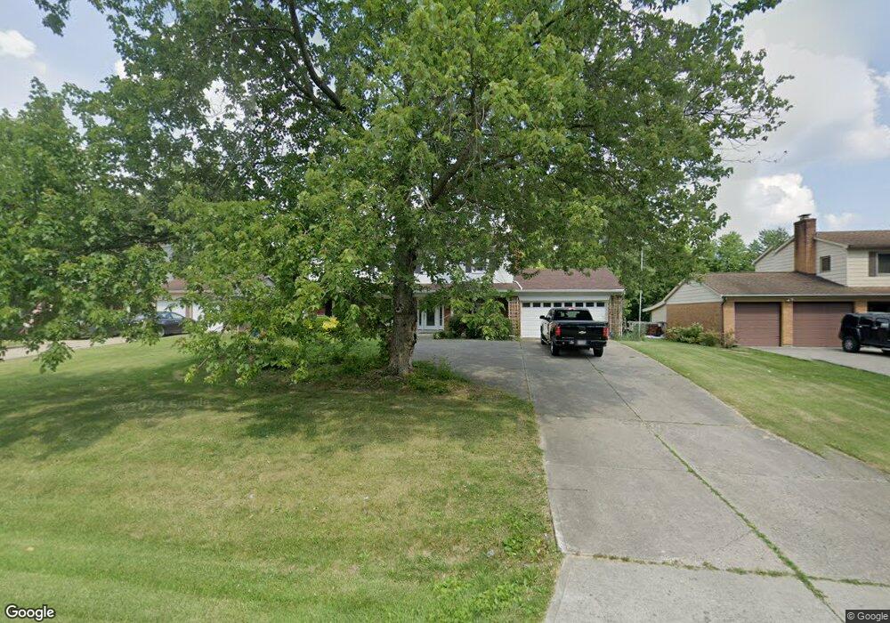
10820 Mill Rd Cincinnati, OH 45240
New Burlington NeighborhoodEstimated Value: $311,103 - $424,000
4
Beds
3
Baths
2,091
Sq Ft
$173/Sq Ft
Est. Value
About This Home
This home is located at 10820 Mill Rd, Cincinnati, OH 45240 and is currently estimated at $362,276, approximately $173 per square foot. 10820 Mill Rd is a home located in Hamilton County with nearby schools including Hamilton County Mathematics and Science Academy and Central Montessori Academy.
Ownership History
Date
Name
Owned For
Owner Type
Purchase Details
Closed on
Nov 22, 1995
Sold by
Mustain Lewis B and Mustain Lisa D
Bought by
Smith Ronald D and Smith Sue Ann
Current Estimated Value
Home Financials for this Owner
Home Financials are based on the most recent Mortgage that was taken out on this home.
Original Mortgage
$62,000
Interest Rate
7.44%
Create a Home Valuation Report for This Property
The Home Valuation Report is an in-depth analysis detailing your home's value as well as a comparison with similar homes in the area
Home Values in the Area
Average Home Value in this Area
Purchase History
| Date | Buyer | Sale Price | Title Company |
|---|---|---|---|
| Smith Ronald D | -- | -- |
Source: Public Records
Mortgage History
| Date | Status | Borrower | Loan Amount |
|---|---|---|---|
| Closed | Smith Ronald D | $62,000 |
Source: Public Records
Tax History
| Year | Tax Paid | Tax Assessment Tax Assessment Total Assessment is a certain percentage of the fair market value that is determined by local assessors to be the total taxable value of land and additions on the property. | Land | Improvement |
|---|---|---|---|---|
| 2025 | $5,512 | $92,107 | $17,560 | $74,547 |
| 2024 | $5,374 | $92,107 | $17,560 | $74,547 |
| 2023 | $5,212 | $92,107 | $17,560 | $74,547 |
| 2022 | $4,962 | $67,921 | $15,869 | $52,052 |
| 2021 | $4,831 | $67,921 | $15,869 | $52,052 |
| 2020 | $4,920 | $67,921 | $15,869 | $52,052 |
| 2019 | $4,396 | $57,558 | $13,447 | $44,111 |
| 2018 | $4,406 | $57,558 | $13,447 | $44,111 |
| 2017 | $4,229 | $57,558 | $13,447 | $44,111 |
| 2016 | $4,176 | $56,091 | $12,775 | $43,316 |
| 2015 | $3,905 | $56,091 | $12,775 | $43,316 |
| 2014 | $3,892 | $56,091 | $12,775 | $43,316 |
| 2013 | $4,004 | $59,042 | $13,447 | $45,595 |
Source: Public Records
Map
Nearby Homes
- 1854 Windmill Way
- 1887 Lotushill Dr
- 1858 Aspenhill Dr
- 10945 Crystalhill Ct
- 10908 Tangleberry Ct
- 1931 Lotushill Dr
- 10493 Mill Rd
- 1958 Bluehill Dr
- 10453 Mill Rd
- 2071 Roosevelt Ave
- 1413 Waycross Rd
- 11440 Mill Rd
- 10897 Sprucehill Dr
- 23 Briarwood Ln
- 10877 Birchridge Dr
- 48 Damon Rd
- 1566 Karahill Dr
- 7 Dewitt Ct
- 9 Dewitt Ct
- 11 Dewitt Ct
- 10810 Mill Rd
- 10830 Mill Rd
- 10800 Mill Rd
- 10790 Mill Rd
- 10805 Mill Rd
- 10831 Trailwood Ct
- 10795 Mill Rd
- 10833 Trailwood Ct
- 10776 Mill Rd
- 1582 Acreview Dr
- 10837 Trailwood Ct
- 10835 Trailwood Ct
- 10787 Mill Rd
- 1576 Acreview Dr
- 1570 Acreview Dr
- 10851 Trailwood Ct
- 10853 Trailwood Ct
- 1602 Acreview Dr
- 10858 Trailwood Ct
- 1625 Turf Wood Cir
Your Personal Tour Guide
Ask me questions while you tour the home.