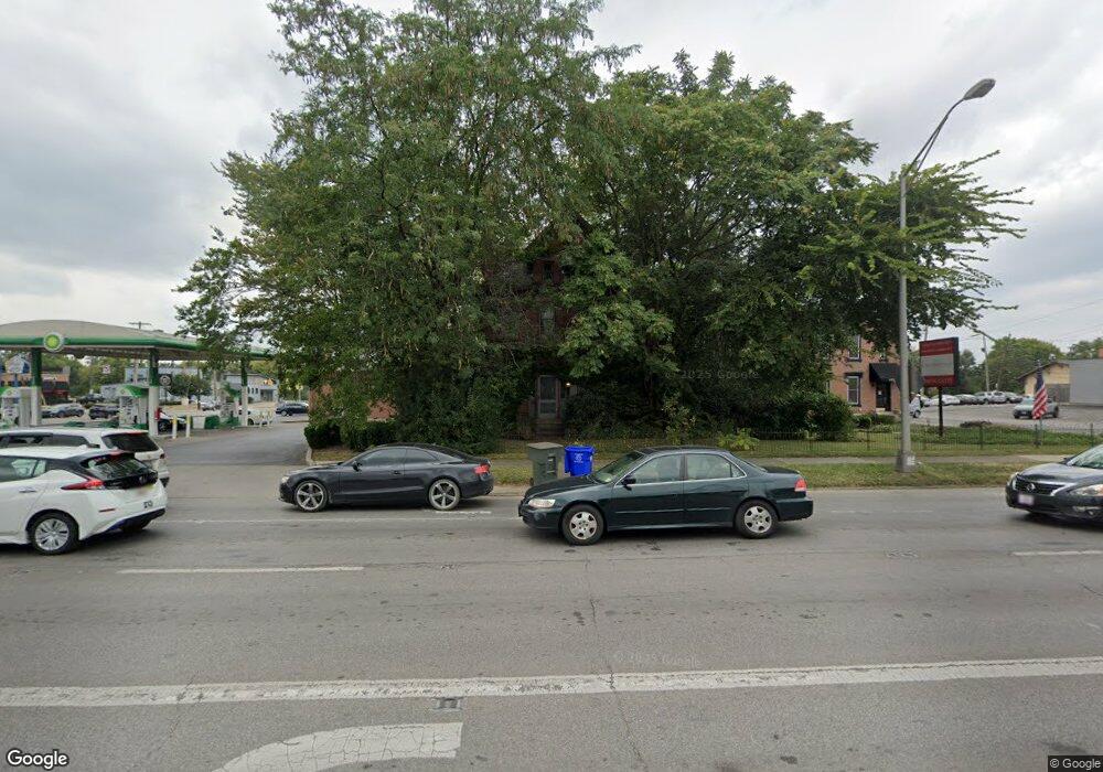
1083 S High St Unit 301 Columbus, OH 43206
Brewery District NeighborhoodEstimated Value: $818,882 - $1,251,000
1
Bed
1
Bath
1,194
Sq Ft
$877/Sq Ft
Est. Value
About This Home
This home is located at 1083 S High St Unit 301, Columbus, OH 43206 and is currently estimated at $1,047,471, approximately $877 per square foot. 1083 S High St Unit 301 is a home located in Franklin County with nearby schools including Stewart Alternative Elementary School @ Beck Elementary School, South High School, and South Columbus Preparatory Academy.
Ownership History
Date
Name
Owned For
Owner Type
Purchase Details
Closed on
Apr 19, 2007
Sold by
Grange Mutual Casualty Co
Bought by
York John C
Current Estimated Value
Home Financials for this Owner
Home Financials are based on the most recent Mortgage that was taken out on this home.
Original Mortgage
$160,000
Outstanding Balance
$96,953
Interest Rate
6.19%
Mortgage Type
Purchase Money Mortgage
Estimated Equity
$950,518
Purchase Details
Closed on
Dec 7, 2005
Sold by
Grange Mutual Casualty Co
Bought by
Muncie Delia Development Llc
Purchase Details
Closed on
Feb 18, 2005
Sold by
Karl Morse Plaza Lp
Bought by
Karl Morse Plaza Lp
Create a Home Valuation Report for This Property
The Home Valuation Report is an in-depth analysis detailing your home's value as well as a comparison with similar homes in the area
Home Values in the Area
Average Home Value in this Area
Purchase History
| Date | Buyer | Sale Price | Title Company |
|---|---|---|---|
| York John C | $92,000 | Anthem Title | |
| Muncie Delia Development Llc | $50,000 | Amerititle | |
| Karl Morse Plaza Lp | -- | Hummel Titl |
Source: Public Records
Mortgage History
| Date | Status | Borrower | Loan Amount |
|---|---|---|---|
| Open | York John C | $160,000 |
Source: Public Records
Tax History Compared to Growth
Tax History
| Year | Tax Paid | Tax Assessment Tax Assessment Total Assessment is a certain percentage of the fair market value that is determined by local assessors to be the total taxable value of land and additions on the property. | Land | Improvement |
|---|---|---|---|---|
| 2024 | $9,536 | $222,290 | $54,810 | $167,480 |
| 2023 | $9,443 | $222,290 | $54,810 | $167,480 |
| 2022 | $7,127 | $146,170 | $28,460 | $117,710 |
| 2021 | $7,140 | $146,170 | $28,460 | $117,710 |
| 2020 | $7,149 | $146,170 | $28,460 | $117,710 |
| 2019 | $6,561 | $116,900 | $22,750 | $94,150 |
| 2018 | $5,972 | $116,900 | $22,750 | $94,150 |
| 2017 | $6,251 | $116,900 | $22,750 | $94,150 |
| 2016 | $5,945 | $98,490 | $43,890 | $54,600 |
| 2015 | $5,396 | $98,490 | $43,890 | $54,600 |
| 2014 | $5,410 | $98,490 | $43,890 | $54,600 |
| 2013 | $5,336 | $98,490 | $43,890 | $54,600 |
Source: Public Records
Map
Nearby Homes
- 1036 S Front St
- 17 E Mithoff St
- 992-994 S Wall St
- 1023 City Park Ave
- 37 Stewart Ave
- 955 S High St
- 6 Hanford St Unit 6
- 109 E Mithoff St
- 1264 S High St
- 144 E Mithoff St
- 900 S Front St
- 130 E Gates St
- 874 S High St
- 154-156 E Gates St
- 65 Frebis Ave
- 1272 S 4th St
- 195 E Mithoff St Unit 195
- 842 S Pearl St
- 136 E Whittier St
- 1357 City Park Ave Unit 359
- 1083 S High St
- 1071 S High St
- 37-39 Redbud Alley Unit 39
- 1070 S Front St
- 1045 S High St
- 25 Greenlawn Ave
- 1116 S High St
- 15 E Deshler Ave Unit 1523
- 1025 S High St
- 1132 S Front St
- 32 Thurman Ave
- 17 E Deshler Ave Unit 17
- 24 W Deshler Ave
- 19 E Deshler Ave Unit 19
- 1134 S High St
- 21 E Deshler Ave
- 1021 S High St
- 1141 S High St
- 36 W Deshler Ave Unit 36
- 38 W Deshler Ave