1083 Snowcap 1weup7o4x02b 1weupd76r5q9, CA 96003
Boulder Creek NeighborhoodEstimated Value: $355,000 - $387,000
2
Beds
2
Baths
1,252
Sq Ft
$295/Sq Ft
Est. Value
About This Home
This home is located at 1083 Snowcap 1weup7o4x02b, 1weupd76r5q9, CA 96003 and is currently estimated at $368,918, approximately $294 per square foot. 1083 Snowcap 1weup7o4x02b is a home located in Shasta County with nearby schools including Boulder Creek Elementary School, Enterprise High School, and Country Christian School.
Ownership History
Date
Name
Owned For
Owner Type
Purchase Details
Closed on
Aug 31, 2023
Sold by
Blagg William C and Revoca Joyce
Bought by
Jackson Ryan Daniel and Jackson Debra Van
Current Estimated Value
Purchase Details
Closed on
Sep 27, 2022
Sold by
Joyce E Blagg Revocable Trust
Bought by
William C Blagg And Joyce E Blagg Revocable T
Purchase Details
Closed on
Sep 12, 2006
Sold by
Blagg Joyce E
Bought by
Blagg Joyce E
Purchase Details
Closed on
Jan 13, 2003
Sold by
Redwood Shasta Investors Lp
Bought by
Blagg Joyce E
Home Financials for this Owner
Home Financials are based on the most recent Mortgage that was taken out on this home.
Original Mortgage
$100,000
Interest Rate
6.15%
Mortgage Type
Purchase Money Mortgage
Create a Home Valuation Report for This Property
The Home Valuation Report is an in-depth analysis detailing your home's value as well as a comparison with similar homes in the area
Home Values in the Area
Average Home Value in this Area
Purchase History
| Date | Buyer | Sale Price | Title Company |
|---|---|---|---|
| Jackson Ryan Daniel | $367,000 | Fidelity National Title Compan | |
| William C Blagg And Joyce E Blagg Revocable T | -- | -- | |
| Blagg Joyce E | -- | None Available | |
| Blagg Joyce E | $169,500 | Chicago Title Co |
Source: Public Records
Mortgage History
| Date | Status | Borrower | Loan Amount |
|---|---|---|---|
| Previous Owner | Blagg Joyce E | $100,000 |
Source: Public Records
Tax History Compared to Growth
Tax History
| Year | Tax Paid | Tax Assessment Tax Assessment Total Assessment is a certain percentage of the fair market value that is determined by local assessors to be the total taxable value of land and additions on the property. | Land | Improvement |
|---|---|---|---|---|
| 2025 | $4,260 | $374,340 | $56,100 | $318,240 |
| 2024 | $2,770 | $367,000 | $55,000 | $312,000 |
| 2023 | $2,770 | $241,053 | $48,713 | $192,340 |
| 2022 | $2,683 | $236,327 | $47,758 | $188,569 |
| 2021 | $2,619 | $231,694 | $46,822 | $184,872 |
| 2020 | $2,587 | $229,319 | $46,342 | $182,977 |
| 2019 | $2,562 | $224,824 | $45,434 | $179,390 |
| 2018 | $2,554 | $220,417 | $44,544 | $175,873 |
| 2017 | $2,593 | $216,096 | $43,671 | $172,425 |
| 2016 | $2,432 | $211,860 | $42,815 | $169,045 |
| 2015 | $2,196 | $190,000 | $40,000 | $150,000 |
| 2014 | $2,050 | $175,000 | $40,000 | $135,000 |
Source: Public Records
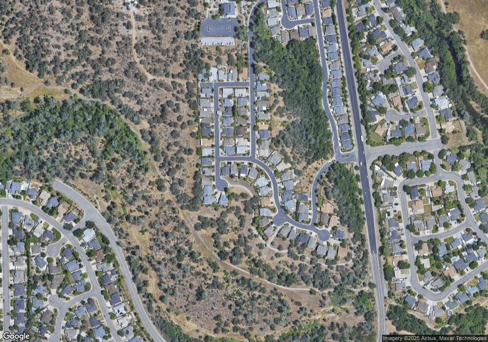
Map
Nearby Homes
- 790 Volcano View Trail
- 624 Volcano View Trail
- 667 Reddington Dr
- 866 Fountain Cir
- 1381 Chaos Walk
- 774 Springer Dr
- 654 Rogue River Way
- 592 Mill Valley Pkwy
- 60 Rose Ln
- 953 Tanglewood Dr
- 2110 Cilantro Dr
- 823 Mission Sierra Ct
- 825 Mission Sierra Ct
- 856 Mission de Oro Dr
- 550 Armando Ave
- 2147 Edinburgh Way
- 2154 Harvard Way
- 19219 Nike Ct
- 1285 Lancers Ln
- 5663 Terra Linda Way
- 1083 Snowcap Trail
- 1043 Snowcap Trail
- 1101 Snowcap Trail
- 1102 Golden Gate Trail
- 1003 Snowcap Trail
- 1111 Snowcap Trail
- 694 Volcano View Trail
- 1120 Golden Gate Trail
- 1121 Snowcap Trail
- 1114 Snowcap Trail Unit 1
- 1119 Golden Gate Trail
- 678 Volcano View Trail
- 1116 Snowcap Trail
- 733 Volcano View Trail
- 1138 Golden Gate Trail
- 713 Volcano View Trail
- 753 Volcano View Trail
- 1124 Snowcap Trail
- 1131 Snowcap Trail
- 1135 Golden Gate Trail