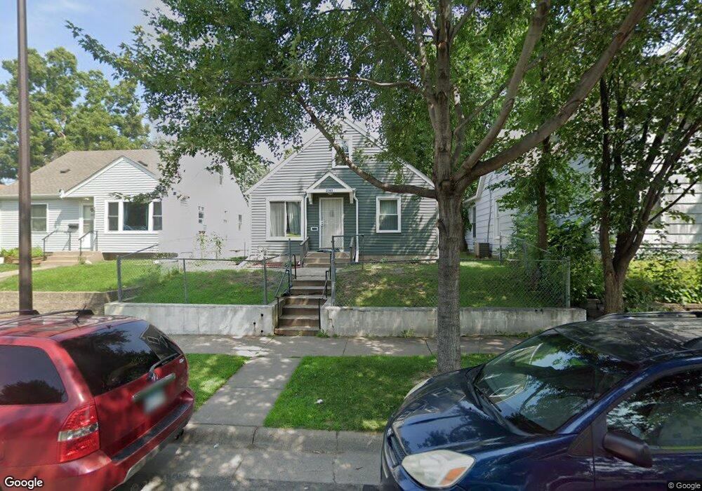
1085 1085 Sims-Avenue- St. Paul, MN 55106
Payne-Phalen NeighborhoodEstimated Value: $210,000 - $237,000
3
Beds
1
Bath
936
Sq Ft
$242/Sq Ft
Est. Value
About This Home
This home is located at 1085 1085 Sims-Avenue-, St. Paul, MN 55106 and is currently estimated at $226,351, approximately $241 per square foot. 1085 1085 Sims-Avenue- is a home located in Ramsey County with nearby schools including Frost Lake Elementary School, Txuj Ci HMong Language and Culture Upper Campus, and Johnson Senior High School.
Ownership History
Date
Name
Owned For
Owner Type
Purchase Details
Closed on
May 8, 2013
Sold by
Lee Kao
Bought by
Xiong Mandy Teng
Current Estimated Value
Purchase Details
Closed on
Jan 16, 2009
Sold by
Lasalle Bank National Association
Bought by
Lee Kao
Purchase Details
Closed on
Mar 6, 2002
Sold by
Bankers Trust Co Of California N A
Bought by
Schultz Mark B
Purchase Details
Closed on
Sep 24, 1998
Sold by
Va
Bought by
Bankers Trust Co Of California N A and Countrywide Home Loans
Create a Home Valuation Report for This Property
The Home Valuation Report is an in-depth analysis detailing your home's value as well as a comparison with similar homes in the area
Home Values in the Area
Average Home Value in this Area
Purchase History
| Date | Buyer | Sale Price | Title Company |
|---|---|---|---|
| Xiong Mandy Teng | -- | None Available | |
| Lee Kao | $46,000 | -- | |
| Schultz Mark B | $60,210 | -- | |
| Gutierrez Juan L | $26,500 | -- | |
| Bankers Trust Co Of California N A | $60,061 | -- |
Source: Public Records
Tax History Compared to Growth
Tax History
| Year | Tax Paid | Tax Assessment Tax Assessment Total Assessment is a certain percentage of the fair market value that is determined by local assessors to be the total taxable value of land and additions on the property. | Land | Improvement |
|---|---|---|---|---|
| 2025 | $3,710 | $210,400 | $25,000 | $185,400 |
| 2023 | $3,710 | $200,200 | $20,000 | $180,200 |
| 2022 | $3,348 | $202,200 | $20,000 | $182,200 |
| 2021 | $3,218 | $171,400 | $20,000 | $151,400 |
| 2020 | $1,944 | $150,000 | $7,000 | $143,000 |
| 2019 | $1,412 | $134,600 | $7,000 | $127,600 |
| 2018 | $1,116 | $103,500 | $7,000 | $96,500 |
| 2017 | $930 | $90,000 | $7,000 | $83,000 |
| 2016 | $1,032 | $0 | $0 | $0 |
| 2015 | $1,120 | $86,400 | $7,000 | $79,400 |
| 2014 | $1,426 | $0 | $0 | $0 |
Source: Public Records
Map
Nearby Homes
- 1077 York Ave
- 938 Cypress St
- 1144 Jenks Ave
- 941 Cypress St
- 906 Russell St
- 935 Duchess St
- 890 Duchess St
- 976 Forest St
- 930 York Ave
- 911 Sims Ave
- 892 Lawson Ave E
- 864 Lawson Ave E
- 1185 Reaney Ave
- 904 Jessamine Ave E
- 1091 Minnehaha Ave E
- 1114 Lane Place
- 839 Sims Ave
- 843 Jenks Ave
- 1011 Minnehaha Ave E
- 1160 Minnehaha Ave E
- 1085 Sims Ave
- 1087 Sims Ave
- 1081 Sims Ave
- 1077 Sims Ave
- 1093 Sims Ave
- 1093 1093 Sims-Avenue-
- 1073 Sims Ave
- 1095 Sims Ave
- 1084 Case Ave
- 1084 1084 Case-Avenue-
- 1080 Case Ave
- 1088 Case Ave
- 1076 Case Ave
- 1092 Case Ave
- 1103 Sims Ave
- 1074 Case Ave
- 1074 1074 Case Ave
- 1084 Sims Ave
- 1082 Sims Ave
- 1098 Case Ave