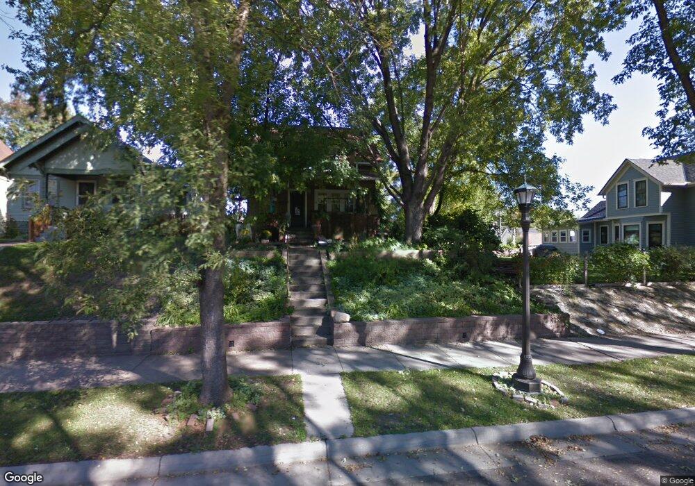
1089 Mclean Ave Saint Paul, MN 55106
Dayton's Bluff NeighborhoodEstimated Value: $244,000 - $277,000
3
Beds
2
Baths
1,336
Sq Ft
$197/Sq Ft
Est. Value
About This Home
This home is located at 1089 Mclean Ave, Saint Paul, MN 55106 and is currently estimated at $263,466, approximately $197 per square foot. 1089 Mclean Ave is a home located in Ramsey County with nearby schools including Dayton's Bluff Achievement Plus Elementary School, Battle Creek Middle School, and Harding Senior High School.
Ownership History
Date
Name
Owned For
Owner Type
Purchase Details
Closed on
Jan 26, 2016
Sold by
Pufpaff Wanda Jean
Bought by
Pufpaff Wanda and The Wanda Pufpaff Living Trust
Current Estimated Value
Purchase Details
Closed on
Jul 29, 1996
Sold by
Burgraff Bradley B and Burgraff Sharon K
Bought by
Champeau Douglas Paul and Champeau Wanda Jean
Create a Home Valuation Report for This Property
The Home Valuation Report is an in-depth analysis detailing your home's value as well as a comparison with similar homes in the area
Home Values in the Area
Average Home Value in this Area
Purchase History
| Date | Buyer | Sale Price | Title Company |
|---|---|---|---|
| Pufpaff Wanda | -- | Attorney | |
| Champeau Douglas Paul | $82,000 | -- |
Source: Public Records
Tax History Compared to Growth
Tax History
| Year | Tax Paid | Tax Assessment Tax Assessment Total Assessment is a certain percentage of the fair market value that is determined by local assessors to be the total taxable value of land and additions on the property. | Land | Improvement |
|---|---|---|---|---|
| 2025 | $3,484 | $249,200 | $25,300 | $223,900 |
| 2023 | $3,484 | $231,600 | $16,200 | $215,400 |
| 2022 | $3,006 | $227,500 | $16,200 | $211,300 |
| 2021 | $2,510 | $196,400 | $16,200 | $180,200 |
| 2020 | $2,678 | $163,400 | $16,200 | $147,200 |
| 2019 | $2,520 | $172,000 | $16,200 | $155,800 |
| 2018 | $2,404 | $160,700 | $16,200 | $144,500 |
| 2017 | $1,978 | $152,800 | $16,200 | $136,600 |
| 2016 | $1,972 | $0 | $0 | $0 |
| 2015 | $1,914 | $118,200 | $14,100 | $104,100 |
| 2014 | $1,908 | $0 | $0 | $0 |
Source: Public Records
Map
Nearby Homes
- 1102 Pacific St
- 1005 Mclean Ave
- 1076 Wilson Ave
- 1020 Wilson Ave
- 995 Wakefield Ave
- 1097 Euclid St
- 401 Johnson Pkwy
- 271 English St
- 1056 3rd St E
- 1257 Wilson Ave
- 1269 Wilson Ave
- 980 3rd St E
- 1026 Fremont Ave
- 1333 Pacific St
- 212 Maple St
- 244 Point Douglas Rd N
- 1320 Wilson Ave
- 530 Forest St
- 1363 4th St E
- 535 Forest St
- 1083 Mclean Ave
- 1097 Mclean Ave
- 1081 1081 McLean-avenue-
- 1081 Mclean Ave
- 1079 Mclean Ave
- 1079 1079 McLean-avenue-
- 1099 Mclean Ave
- 1088 Pacific St
- 1084 Pacific St
- 1103 Mclean Ave
- 1098 Pacific St
- 1075 Mclean Ave
- 1092 Mclean Ave
- 1076 Pacific St
- 1086 Mclean Ave
- 1098 Mclean Ave
- 1082 Mclean Ave
- 1082 1082 McLean-avenue-
- 1107 Mclean Ave
- 1072 Pacific St