10902 Snow Cloud Trail Littleton, CO 80125
Estimated Value: $812,000 - $847,970
3
Beds
3
Baths
3,003
Sq Ft
$278/Sq Ft
Est. Value
About This Home
This home is located at 10902 Snow Cloud Trail, Littleton, CO 80125 and is currently estimated at $834,243, approximately $277 per square foot. 10902 Snow Cloud Trail is a home located in Douglas County with nearby schools including Roxborough Elementary School, Roxborough Intermediate School, and Ranch View Middle School.
Ownership History
Date
Name
Owned For
Owner Type
Purchase Details
Closed on
May 9, 2016
Sold by
Morrison David W and Morrison Barbara J
Bought by
Patterson Jill A
Current Estimated Value
Home Financials for this Owner
Home Financials are based on the most recent Mortgage that was taken out on this home.
Original Mortgage
$100,000
Outstanding Balance
$44,416
Interest Rate
3.71%
Mortgage Type
New Conventional
Estimated Equity
$789,827
Purchase Details
Closed on
Sep 28, 2012
Sold by
Olsen Walter B and Olsen Tonnya A
Bought by
Morrison David W and Morrison Barbara J
Home Financials for this Owner
Home Financials are based on the most recent Mortgage that was taken out on this home.
Original Mortgage
$120,000
Interest Rate
3.7%
Mortgage Type
New Conventional
Purchase Details
Closed on
Jul 5, 2007
Sold by
Phillips William S and Phillips Linda L
Bought by
Olsen Walter B and Olsen Tonnya A
Home Financials for this Owner
Home Financials are based on the most recent Mortgage that was taken out on this home.
Original Mortgage
$125,000
Interest Rate
6.37%
Mortgage Type
Unknown
Purchase Details
Closed on
Apr 21, 2000
Sold by
Parker Scott Allen and Parker Carolyn L
Bought by
Phillips William S and Phillips Linda L
Home Financials for this Owner
Home Financials are based on the most recent Mortgage that was taken out on this home.
Original Mortgage
$209,900
Interest Rate
8.24%
Purchase Details
Closed on
Mar 27, 1998
Sold by
Chp Design Group Inc
Bought by
Parker Scott Allen and Parker Carolyn L
Home Financials for this Owner
Home Financials are based on the most recent Mortgage that was taken out on this home.
Original Mortgage
$223,920
Interest Rate
8.75%
Purchase Details
Closed on
Oct 30, 1997
Sold by
Chp Design Group Inc
Bought by
Johnson Thomas C
Purchase Details
Closed on
Oct 1, 1997
Sold by
Chp Design Group Inc
Bought by
Johnson Thomas C
Purchase Details
Closed on
Mar 10, 1995
Sold by
Roxborough Park Metropolitan District
Bought by
Chp Design Group Inc
Purchase Details
Closed on
Dec 14, 1993
Sold by
Roxborough Park Foundation
Bought by
Roxborough Park Metropolitan District
Purchase Details
Closed on
Dec 10, 1991
Sold by
Douglas County Sheriff
Bought by
Roxborough Park Foundation
Purchase Details
Closed on
Aug 16, 1991
Sold by
Roy Jeffrey L
Bought by
Roxborough Park Foundation
Purchase Details
Closed on
Aug 31, 1981
Sold by
Unavailable
Bought by
Unavailable
Create a Home Valuation Report for This Property
The Home Valuation Report is an in-depth analysis detailing your home's value as well as a comparison with similar homes in the area
Home Values in the Area
Average Home Value in this Area
Purchase History
| Date | Buyer | Sale Price | Title Company |
|---|---|---|---|
| Patterson Jill A | $475,000 | Fidelity National Title Ins | |
| Morrison David W | $405,000 | Fidelity National Title Insu | |
| Olsen Walter B | $461,000 | Stewart Title Of Colorado | |
| Phillips William S | $319,900 | Land Title | |
| Parker Scott Allen | $279,900 | Land Title | |
| Chp Design Group Inc | -- | Land Title | |
| Johnson Thomas C | -- | Stewart Title | |
| Johnson Thomas C | -- | -- | |
| Chp Design Group Inc | $10,000 | Land Title | |
| Roxborough Park Metropolitan District | -- | -- | |
| Roxborough Park Foundation | -- | -- | |
| Roxborough Park Foundation | -- | -- | |
| Unavailable | $11,000 | -- |
Source: Public Records
Mortgage History
| Date | Status | Borrower | Loan Amount |
|---|---|---|---|
| Open | Patterson Jill A | $100,000 | |
| Previous Owner | Morrison David W | $120,000 | |
| Previous Owner | Olsen Walter B | $125,000 | |
| Previous Owner | Phillips William S | $209,900 | |
| Previous Owner | Parker Scott Allen | $223,920 | |
| Closed | Parker Scott Allen | $56,980 |
Source: Public Records
Tax History Compared to Growth
Tax History
| Year | Tax Paid | Tax Assessment Tax Assessment Total Assessment is a certain percentage of the fair market value that is determined by local assessors to be the total taxable value of land and additions on the property. | Land | Improvement |
|---|---|---|---|---|
| 2024 | $5,311 | $61,130 | $7,840 | $53,290 |
| 2023 | $5,350 | $61,130 | $7,840 | $53,290 |
| 2022 | $3,760 | $40,650 | $5,740 | $34,910 |
| 2021 | $3,936 | $40,650 | $5,740 | $34,910 |
| 2020 | $3,846 | $40,640 | $6,050 | $34,590 |
| 2019 | $3,868 | $40,640 | $6,050 | $34,590 |
| 2018 | $3,450 | $35,160 | $4,560 | $30,600 |
| 2017 | $3,245 | $35,160 | $4,560 | $30,600 |
| 2016 | $3,140 | $33,380 | $4,460 | $28,920 |
| 2015 | $3,208 | $33,380 | $4,460 | $28,920 |
| 2014 | $2,895 | $27,800 | $3,980 | $23,820 |
Source: Public Records
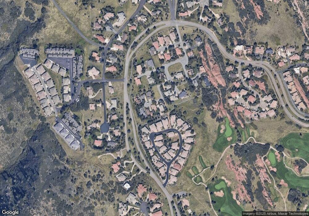
Map
Nearby Homes
- 6842 Raspberry Run
- 6874 Raspberry Run
- 6948 Buckskin Dr
- 6835 Surrey Trail
- 10991 Expedition
- 6945 Fargo Trail
- 6941 Fargo Trail
- 6945 N Fargo Trail
- 10506 Brown Fox Trail
- 6480 Willow Broom Trail
- 7188 Raphael Ln
- 7208 Raphael Ln
- 6753 Big Horn Trail
- 6424 Willow Broom Trail
- 6324 Willow Broom Trail
- 6260 Rain Dance Trail
- 11194 W Yucca
- 7191 Red Mesa Dr
- 11234 W Yucca
- 7217 Red Mesa Ct
- 10898 Snow Cloud Trail
- 10908 Snow Cloud Trail
- 10912 Snow Cloud Trail
- 10967 Snow Cloud Trail
- 10957 Snow Cloud Trail
- 6855 Raspberry Run
- 6851 Raspberry Run
- 10977 Snow Cloud Trail
- 6859 Raspberry Run
- 10987 Snow Cloud Trail
- 10884 Snow Cloud Trail
- 6843 Raspberry Run
- 10890 Snow Cloud Trail
- 6865 Raspberry Run
- 10894 Snow Cloud Trail
- 6839 Raspberry Run
- 10927 Snow Cloud Trail
- 10933 Snow Cloud Trail
- 6858 Raspberry Run
- 10921 Snow Cloud Trail