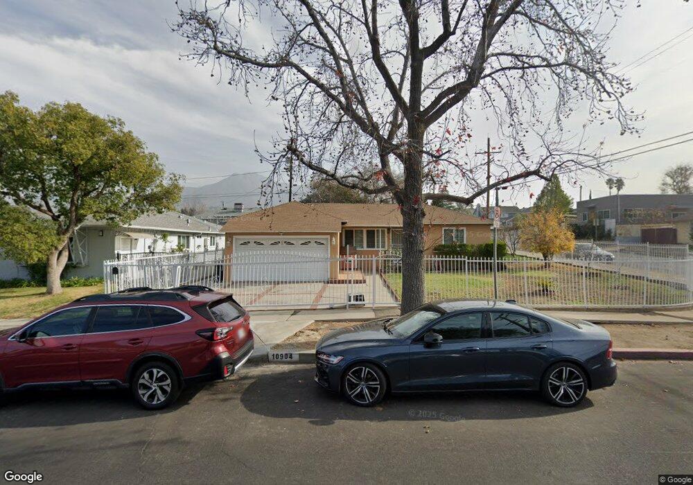
10904 Mcvine Ave Unit 203 Sunland, CA 91040
Sunland NeighborhoodEstimated Value: $799,000 - $914,000
3
Beds
2
Baths
1,140
Sq Ft
$750/Sq Ft
Est. Value
About This Home
This home is located at 10904 Mcvine Ave Unit 203, Sunland, CA 91040 and is currently estimated at $855,153, approximately $750 per square foot. 10904 Mcvine Ave Unit 203 is a home located in Los Angeles County with nearby schools including Sunland Elementary School, Mt. Gleason Middle School, and Verdugo Hills Senior High School.
Ownership History
Date
Name
Owned For
Owner Type
Purchase Details
Closed on
Dec 30, 2019
Sold by
Damirigian Kyork
Bought by
The Damirigian Family Trust
Current Estimated Value
Purchase Details
Closed on
Mar 4, 1996
Sold by
Hud
Bought by
Griff John
Home Financials for this Owner
Home Financials are based on the most recent Mortgage that was taken out on this home.
Original Mortgage
$157,000
Outstanding Balance
$6,171
Interest Rate
7.05%
Estimated Equity
$848,982
Create a Home Valuation Report for This Property
The Home Valuation Report is an in-depth analysis detailing your home's value as well as a comparison with similar homes in the area
Home Values in the Area
Average Home Value in this Area
Purchase History
| Date | Buyer | Sale Price | Title Company |
|---|---|---|---|
| The Damirigian Family Trust | -- | None Available | |
| Griff John | $40,000 | California Counties Title Co |
Source: Public Records
Mortgage History
| Date | Status | Borrower | Loan Amount |
|---|---|---|---|
| Open | Griff John | $157,000 |
Source: Public Records
Tax History Compared to Growth
Tax History
| Year | Tax Paid | Tax Assessment Tax Assessment Total Assessment is a certain percentage of the fair market value that is determined by local assessors to be the total taxable value of land and additions on the property. | Land | Improvement |
|---|---|---|---|---|
| 2025 | $4,587 | $367,923 | $284,968 | $82,955 |
| 2024 | $4,587 | $360,710 | $279,381 | $81,329 |
| 2023 | $4,502 | $353,638 | $273,903 | $79,735 |
| 2022 | $4,295 | $346,705 | $268,533 | $78,172 |
| 2021 | $4,241 | $339,908 | $263,268 | $76,640 |
| 2020 | $4,281 | $336,424 | $260,569 | $75,855 |
| 2019 | $4,116 | $329,828 | $255,460 | $74,368 |
| 2018 | $4,077 | $323,361 | $250,451 | $72,910 |
| 2016 | $3,843 | $310,807 | $240,727 | $70,080 |
| 2015 | $3,788 | $306,140 | $237,112 | $69,028 |
| 2014 | $3,808 | $300,144 | $232,468 | $67,676 |
Source: Public Records
Map
Nearby Homes
- 10949 Mcvine Ave
- 10831 Odell Ave
- 8110 Brownstone St
- 11020 Scoville Ave
- 10855 Woodward Ave
- 11034 Scoville Ave
- 8230 Hillrose St
- 11009 Quill Ave
- 10704 Oro Vista Ave
- 7848 Forsythe St
- 10623 Woodward Ave
- 10530 Mcvine Ave
- 7755 Forsythe St
- 0 Rim Canyon Rd Unit SR25228396
- 7851 Fenwick St
- 10799 Sherman Grove Ave
- 10799 Sherman Grove Ave Unit 18
- 10711 Sherman Grove Ave Unit 36
- 10711 Sherman Grove Ave Unit 13
- 10711 Sherman Grove Ave Unit 26
- 10908 Mcvine Ave
- 10903 Nassau Ave
- 10911 Nassau Ave
- 10858 Mcvine Ave
- 10907 Mcvine Ave
- 10911 Mcvine Ave
- 10915 Nassau Ave
- 10859 Nassau Ave
- 10856 Mcvine Ave
- 10920 Mcvine Ave
- 8202 Wentworth St
- 10917 Mcvine Ave
- 8211 Wentworth St
- 8206 Wentworth St
- 10923 Nassau Ave
- 10852 Mcvine Ave
- 10853 Nassau Ave
- 10924 Mcvine Ave
- 10921 Mcvine Ave
- 8208 Wentworth St