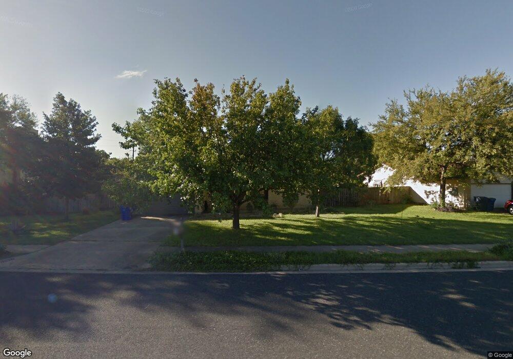
10911 El Salido Pkwy Austin, TX 78750
Anderson Mill NeighborhoodEstimated Value: $435,114 - $475,000
--
Bed
2
Baths
1,819
Sq Ft
$247/Sq Ft
Est. Value
About This Home
This home is located at 10911 El Salido Pkwy, Austin, TX 78750 and is currently estimated at $450,029, approximately $247 per square foot. 10911 El Salido Pkwy is a home located in Williamson County with nearby schools including Anderson Mill Elementary School, Noel Grisham Middle, and Westwood High School.
Ownership History
Date
Name
Owned For
Owner Type
Purchase Details
Closed on
May 23, 2006
Sold by
Sage Robert C and Mill Marcia A
Bought by
Midkiff Jason
Current Estimated Value
Home Financials for this Owner
Home Financials are based on the most recent Mortgage that was taken out on this home.
Original Mortgage
$126,400
Outstanding Balance
$73,957
Interest Rate
6.58%
Mortgage Type
Fannie Mae Freddie Mac
Estimated Equity
$376,072
Create a Home Valuation Report for This Property
The Home Valuation Report is an in-depth analysis detailing your home's value as well as a comparison with similar homes in the area
Home Values in the Area
Average Home Value in this Area
Purchase History
| Date | Buyer | Sale Price | Title Company |
|---|---|---|---|
| Midkiff Jason | -- | Rt |
Source: Public Records
Mortgage History
| Date | Status | Borrower | Loan Amount |
|---|---|---|---|
| Open | Midkiff Jason | $126,400 |
Source: Public Records
Tax History Compared to Growth
Tax History
| Year | Tax Paid | Tax Assessment Tax Assessment Total Assessment is a certain percentage of the fair market value that is determined by local assessors to be the total taxable value of land and additions on the property. | Land | Improvement |
|---|---|---|---|---|
| 2025 | $7,384 | $416,458 | $88,500 | $327,958 |
| 2024 | $7,384 | $442,429 | $88,500 | $353,929 |
| 2023 | $6,546 | $403,868 | $0 | $0 |
| 2022 | $7,883 | $367,153 | $0 | $0 |
| 2021 | $8,200 | $333,775 | $72,000 | $277,028 |
| 2020 | $7,219 | $303,432 | $66,598 | $247,617 |
| 2019 | $6,747 | $275,847 | $60,700 | $215,147 |
| 2018 | $5,760 | $256,174 | $54,891 | $204,363 |
| 2017 | $5,813 | $232,885 | $51,300 | $211,786 |
| 2016 | $5,284 | $211,714 | $51,300 | $179,091 |
| 2015 | $4,208 | $192,467 | $42,100 | $165,825 |
| 2014 | $4,208 | $174,970 | $0 | $0 |
Source: Public Records
Map
Nearby Homes
- 12106 Grey Fawn Path
- 1028 Verbena Dr
- 11811 Buggy Whip Trail
- 11007 Opal Trail
- 11100 Alison Parke Trail
- 11908 Stout Oak Trail
- 10606 Mourning Dove Dr
- 12206 Saber Trail
- 11533 Sandy Loam Trail
- 11405 Bristle Oak Trail
- 11000 Anderson Mill Rd Unit 96
- 11000 Anderson Mill Rd Unit 63
- 12306 Split Rail Pkwy
- 10404 Mourning Dove Dr
- 12300 Wipple Tree Cove
- 10401 Mourning Dove Dr
- 11462 Bristle Oak Trail
- 11512 Powder Mill Trail
- 12208 Double Tree Ln
- 11010 Froke Cedar Trail
- 11001 El Salido Pkwy
- 10909 El Salido Pkwy
- 10908 Hard Rock Rd
- 10907 El Salido Pkwy
- 10906 Hard Rock Rd
- 11903 Geode Dr
- 11905 Geode Dr
- 11901 Geode Dr
- 10905 El Salido Pkwy
- 12005 Grey Rock Ln
- 12007 Grey Rock Ln
- 12003 Grey Rock Ln
- 10907 Hard Rock Rd
- 12005 Acorn Creek Trail
- 10903 El Salido Pkwy
- 12009 Grey Rock Ln
- 10905 Hard Rock Rd
- 10909 Hard Rock Rd
- 12003 Acorn Creek Trail
- 12001 Grey Rock Ln