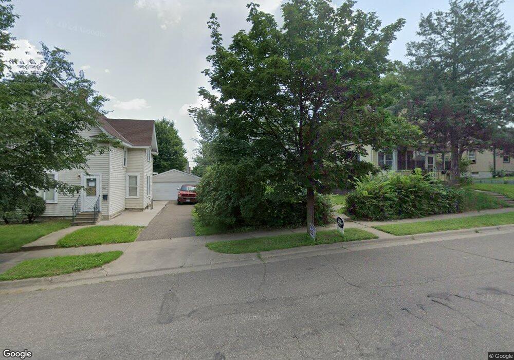
1092 Western Ave N Saint Paul, MN 55117
North End NeighborhoodEstimated Value: $170,609 - $218,000
2
Beds
1
Bath
848
Sq Ft
$226/Sq Ft
Est. Value
About This Home
This home is located at 1092 Western Ave N, Saint Paul, MN 55117 and is currently estimated at $191,652, approximately $226 per square foot. 1092 Western Ave N is a home located in Ramsey County with nearby schools including Como Park Elementary School, Murray Middle School, and Como Park Senior High School.
Ownership History
Date
Name
Owned For
Owner Type
Purchase Details
Closed on
May 4, 2001
Sold by
Nelson Robert L
Bought by
Hunter Charlotte L
Current Estimated Value
Purchase Details
Closed on
Jun 30, 2000
Sold by
Opportunity Funding I Llc
Bought by
Nelson Robert L
Purchase Details
Closed on
Dec 5, 1997
Sold by
Larson Leon D and Larson Marina E
Bought by
Williams Camille
Create a Home Valuation Report for This Property
The Home Valuation Report is an in-depth analysis detailing your home's value as well as a comparison with similar homes in the area
Home Values in the Area
Average Home Value in this Area
Purchase History
| Date | Buyer | Sale Price | Title Company |
|---|---|---|---|
| Hunter Charlotte L | $91,400 | -- | |
| Nelson Robert L | $46,300 | -- | |
| Williams Camille | $78,000 | -- | |
| Larson Leon D | $35,000 | -- |
Source: Public Records
Mortgage History
| Date | Status | Borrower | Loan Amount |
|---|---|---|---|
| Closed | Williams Camille | -- |
Source: Public Records
Tax History Compared to Growth
Tax History
| Year | Tax Paid | Tax Assessment Tax Assessment Total Assessment is a certain percentage of the fair market value that is determined by local assessors to be the total taxable value of land and additions on the property. | Land | Improvement |
|---|---|---|---|---|
| 2025 | $2,292 | $148,500 | $25,000 | $123,500 |
| 2023 | $2,292 | $133,300 | $20,000 | $113,300 |
| 2022 | $1,904 | $132,200 | $20,000 | $112,200 |
| 2021 | $1,958 | $102,200 | $20,000 | $82,200 |
| 2020 | $1,892 | $109,700 | $11,100 | $98,600 |
| 2019 | $1,742 | $98,100 | $11,100 | $87,000 |
| 2018 | $970 | $88,600 | $11,100 | $77,500 |
| 2017 | $888 | $72,400 | $11,100 | $61,300 |
| 2016 | $930 | $0 | $0 | $0 |
| 2015 | $826 | $55,300 | $11,100 | $44,200 |
| 2014 | $866 | $0 | $0 | $0 |
Source: Public Records
Map
Nearby Homes
- 1083 Western Ave N
- 1110 Virginia St
- 1040 Cumberland St
- 1071 Matilda St
- 1175 Arundel St
- 1104 MacKubin St
- 1176 Norton St
- 1165 Norton St
- 956 Western Ave N
- 1131 Marion St
- 250 Rose Ave W
- 283 Front Ave
- 1011 Marion St
- 359 Stinson St W
- 1156 Marion St
- 1215 Galtier St
- 954 Galtier St
- 1066 Woodbridge St
- 916 Farrington St
- 1049 Kent St
- 1088 Western Ave N
- 1088 1088 Western-Avenue-n
- 1096 Western Ave N
- 1082 Western Ave N
- 1100 Western Ave N
- 1076 Western Ave N
- 1089 Virginia St
- 1085 Virginia St
- 1085 1085 Virginia-Street-
- 1095 Virginia St
- 1101 1101 Virginia-Street-
- 1083 Virginia St
- 1101 Virginia St
- 1072 Western Ave N
- 1075 Virginia St
- 375 Jessamine Ave W
- 1087 Western Ave N
- 1093 Western Ave N
- 1083 1083 Western-Avenue-n
- 1068 Western Ave N