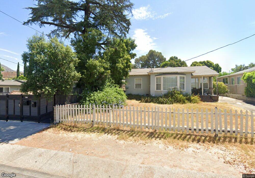
10929 Odell Ave Sunland, CA 91040
Sunland NeighborhoodEstimated Value: $786,000 - $1,082,063
3
Beds
1
Bath
1,568
Sq Ft
$610/Sq Ft
Est. Value
About This Home
This home is located at 10929 Odell Ave, Sunland, CA 91040 and is currently estimated at $956,766, approximately $610 per square foot. 10929 Odell Ave is a home located in Los Angeles County with nearby schools including Sunland Elementary School, Mt. Gleason Middle School, and Verdugo Hills Senior High School.
Ownership History
Date
Name
Owned For
Owner Type
Purchase Details
Closed on
Apr 21, 1994
Sold by
Cicoria Bertha
Bought by
Newell Janine
Current Estimated Value
Home Financials for this Owner
Home Financials are based on the most recent Mortgage that was taken out on this home.
Original Mortgage
$159,300
Interest Rate
8.1%
Purchase Details
Closed on
Jan 11, 1983
Sold by
Gensheimer Paul A and Gensheimer Bertha V
Bought by
Gensheimer Paul A and Gensheimer Bertha
Create a Home Valuation Report for This Property
The Home Valuation Report is an in-depth analysis detailing your home's value as well as a comparison with similar homes in the area
Home Values in the Area
Average Home Value in this Area
Purchase History
| Date | Buyer | Sale Price | Title Company |
|---|---|---|---|
| Newell Janine | $177,000 | Fidelity National Title Ins | |
| Gensheimer Paul A | -- | Fidelity National Title Ins |
Source: Public Records
Mortgage History
| Date | Status | Borrower | Loan Amount |
|---|---|---|---|
| Closed | Newell Janine | $159,300 |
Source: Public Records
Tax History Compared to Growth
Tax History
| Year | Tax Paid | Tax Assessment Tax Assessment Total Assessment is a certain percentage of the fair market value that is determined by local assessors to be the total taxable value of land and additions on the property. | Land | Improvement |
|---|---|---|---|---|
| 2025 | $5,542 | $435,499 | $231,993 | $203,506 |
| 2024 | $5,542 | $426,961 | $227,445 | $199,516 |
| 2023 | $5,440 | $418,590 | $222,986 | $195,604 |
| 2022 | $5,199 | $410,383 | $218,614 | $191,769 |
| 2021 | $5,132 | $402,337 | $214,328 | $188,009 |
| 2019 | $4,985 | $390,406 | $207,972 | $182,434 |
| 2018 | $4,774 | $382,752 | $203,895 | $178,857 |
| 2016 | $4,554 | $367,891 | $195,979 | $171,912 |
| 2015 | $4,489 | $362,366 | $193,036 | $169,330 |
| 2014 | $4,525 | $355,269 | $189,255 | $166,014 |
Source: Public Records
Map
Nearby Homes
- 11034 Scoville Ave
- 8110 Brownstone St
- 11009 Quill Ave
- 8230 Hillrose St
- 10704 Oro Vista Ave
- 8545 Forsythe St
- 7848 Forsythe St
- 10623 Woodward Ave
- 10799 Sherman Grove Ave
- 10799 Sherman Grove Ave Unit 18
- 10799 Sherman Grove Ave Unit 61
- 10711 Sherman Grove Ave Unit 26
- 10711 Sherman Grove Ave Unit 13
- 10711 Sherman Grove Ave Unit 36
- 8421 Grenoble St
- 0 Rim Canyon Rd Unit SR25228396
- 7755 Forsythe St
- 8720 Mulberry Dr
- 7844 Rim Canyon Rd
- 10430 Mcvine Ave
- 10947 Odell Ave
- 10921 Odell Ave
- 10941 Odell Ave
- 10925 Odell Ave
- 10919 Odell Ave
- 10945 Odell Ave
- 10951 Odell Ave
- 10915 Odell Ave
- 10930 Scoville Ave
- 10936 Scoville Ave
- 10926 Scoville Ave
- 10953 Odell Ave
- 10955 Odell Ave
- 10944 Odell Ave
- 10940 Scoville Ave
- 10922 Scoville Ave
- 8247 Wentworth St
- 8251 Wentworth St
- 8243 Wentworth St
- 10946 Scoville Ave