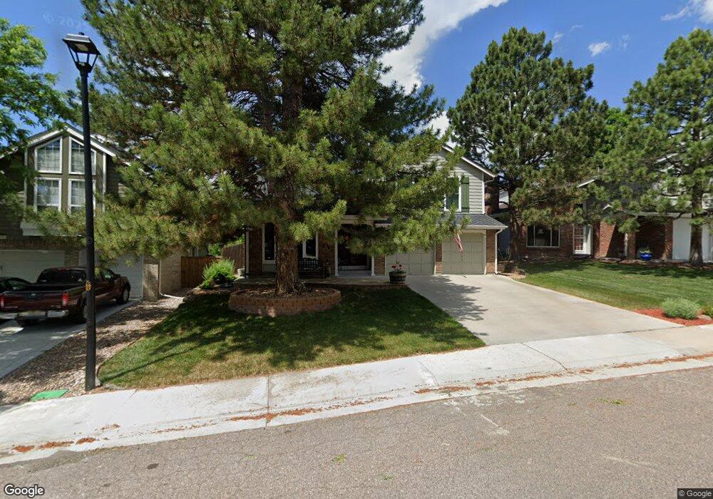
10932 Main Range Trail Littleton, CO 80127
Ken Caryl Ranch NeighborhoodEstimated Value: $712,000 - $793,000
4
Beds
5
Baths
2,456
Sq Ft
$303/Sq Ft
Est. Value
About This Home
This home is located at 10932 Main Range Trail, Littleton, CO 80127 and is currently estimated at $745,166, approximately $303 per square foot. 10932 Main Range Trail is a home located in Jefferson County with nearby schools including Shaffer Elementary School, Falcon Bluffs Middle School, and Chatfield High School.
Ownership History
Date
Name
Owned For
Owner Type
Purchase Details
Closed on
Dec 15, 1998
Sold by
Moyle James P and Moyle Daryl A
Bought by
Ramsett Michael J and Ramsett Julie E
Current Estimated Value
Home Financials for this Owner
Home Financials are based on the most recent Mortgage that was taken out on this home.
Original Mortgage
$61,000
Outstanding Balance
$13,964
Interest Rate
6.87%
Estimated Equity
$731,202
Create a Home Valuation Report for This Property
The Home Valuation Report is an in-depth analysis detailing your home's value as well as a comparison with similar homes in the area
Home Values in the Area
Average Home Value in this Area
Purchase History
| Date | Buyer | Sale Price | Title Company |
|---|---|---|---|
| Ramsett Michael J | $216,000 | Land Title |
Source: Public Records
Mortgage History
| Date | Status | Borrower | Loan Amount |
|---|---|---|---|
| Open | Ramsett Michael J | $61,000 |
Source: Public Records
Tax History Compared to Growth
Tax History
| Year | Tax Paid | Tax Assessment Tax Assessment Total Assessment is a certain percentage of the fair market value that is determined by local assessors to be the total taxable value of land and additions on the property. | Land | Improvement |
|---|---|---|---|---|
| 2024 | $3,567 | $40,022 | $9,590 | $30,432 |
| 2023 | $3,567 | $40,022 | $9,590 | $30,432 |
| 2022 | $2,972 | $34,102 | $7,841 | $26,261 |
| 2021 | $3,018 | $35,084 | $8,067 | $27,017 |
| 2020 | $2,549 | $30,823 | $6,107 | $24,716 |
| 2019 | $2,519 | $30,823 | $6,107 | $24,716 |
| 2018 | $2,192 | $27,094 | $6,769 | $20,325 |
| 2017 | $2,776 | $27,094 | $6,769 | $20,325 |
| 2016 | $3,013 | $27,828 | $8,429 | $19,399 |
| 2015 | $2,684 | $27,828 | $8,429 | $19,399 |
| 2014 | $2,684 | $23,361 | $6,685 | $16,676 |
Source: Public Records
Map
Nearby Homes
- 7747 Gunsight Pass
- 10791 Trailrider Pass
- 10494 W Turtle Mountain
- 10866 W Half Moon Pass
- 10567 W Chautauga Mountain
- 11104 W San Juan Range Rd
- 10550 W Raspberry Mountain
- 11617 Elk Head Range Rd
- 10606 Park Mountain W
- 11703 Elk Head Range Rd
- 7413 S Quail Cir Unit 1417
- 10355 Red Mountain E
- 11804 Elk Head Range Rd
- 10351 Red Mountain E
- 7418 S Quail Cir Unit 1315
- 11781 Elk Head Range Rd
- Willow Plan at Ken-Caryl Ranch - Deer Creek
- Ponderosa Plan at Ken-Caryl Ranch - Deer Creek
- 11341 W Alder Dr
- 8287 S Quail St
- 10942 Main Range Trail
- 10922 Main Range Trail
- 10912 Main Range Trail
- 7760 Crystal Peak
- 10952 Main Range Trail
- 7708 Gunsight Pass
- 7714 Gunsight Pass
- 10902 Main Range Trail
- 10921 Main Range Trail
- 7770 Crystal Peak
- 10931 Main Range Trail
- 7750 Crystal Peak
- 10911 Main Range Trail
- 10941 Main Range Trail
- 7724 Gunsight Pass
- 7780 Crystal Peak
- 10901 Main Range Trail
- 10962 Main Range Trail
- 10951 Main Range Trail
- 7728 Gunsight Pass